![]() Official websites use .gov
Official websites use .gov
A .gov website belongs to an official government organization in the United States.
![]() Secure .gov websites use HTTPS
Secure .gov websites use HTTPS
A lock (Lock A locked padlock) or https:// means you’ve safely connected to the .gov website. Share sensitive information only on official, secure websites.
No-Discharge Zones (NDZs) by State
This page provides links to non-EPA web sites that provide additional information about state-level no-discharge zone and "clean" boating programs. You will leave the EPA.gov domain and enter another page with more information. EPA cannot attest to the accuracy of information on that non-EPA page. Providing links to a non-EPA Web site is not an endorsement of the other site or the information it contains by EPA or any of its employees. Also, be aware that the privacy protection provided on the EPA.gov domain (see Privacy and Security Notice) may not be available at the external link. The following links exit the site These tables list states where the current no-discharge zones (NDZs) for vessel sewage are located. The tables also include the names of the waterbodies, the type of designation, a link to the Federal Register Notice describing the action and a clickable map. For an interactive GIS map of currently designated NDZs, visit the No-Discharge Zones Map. Where available, you can click on the state name in the table to link to state webpages related to NDZs and/or pumpout facilities. NDZ designation types include: * 312(f)(3) protecting aquatic habitats where pumpout facilities are available; * 312(f)(4)(A) protecting special aquatic habitats or species; and * 312(f)(4)(B) protecting drinking water intake zones to protect human health.
In some cases, more than one state shares a waterbody and NDZ designation. These cases are listed by each state with the other state(s) also listed with it.
No-discharge zones by state
- California (2012 Factsheet)
- Connecticut
- Florida
- Maine
- Maryland
- Massachusetts
- Michigan
- Minnesota
- Missouri
- New Mexico
- New York
- North Carolina
- Rhode Island
- Texas
- Vermont
- Virginia
- Washington
- Wisconsin
No-discharge zones shared by more than one state
- California/Nevada
- Kentucky/Tennessee
- Minnesota/Wisconsin
- South Carolina/North Carolina/Georgia
- South Carolina/Georgia
- Utah/Arizona
No-Discharge Zones by State
| State | Waterbody | Designation
Type | Federal Register Notice | Date | Map |
| --- | --- | --- | --- | --- | --- |
| CaliforniaExit EPA’s website | Newport Bays | (f)(3) | 41 FR 2274 (PDF)(1 pp, 39 K) | 01-15-1976 | 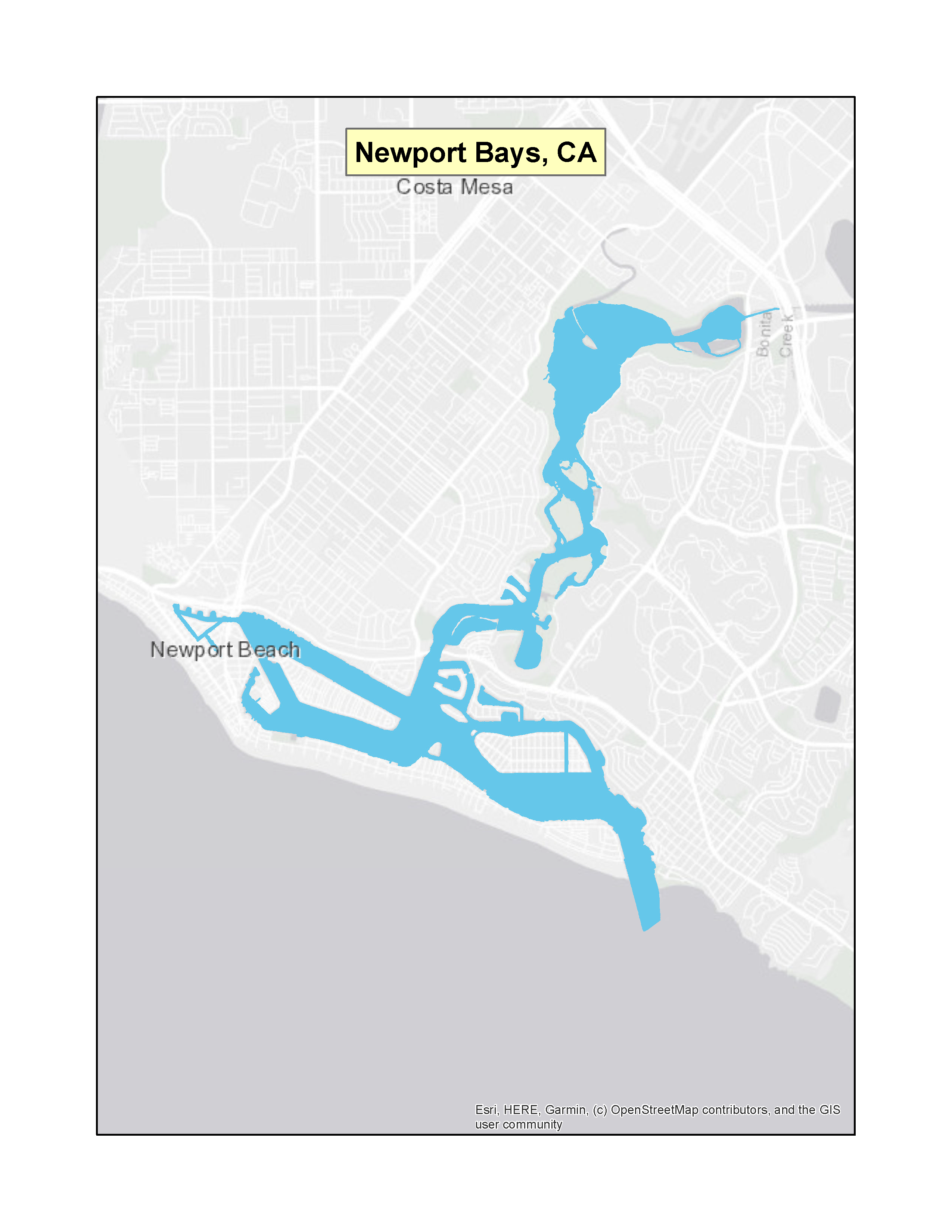 |
|
| California | Sunset Bay | (f)(3) | 41 FR 2274 (PDF)(1 pp, 39 K) | 01-15-1976 | 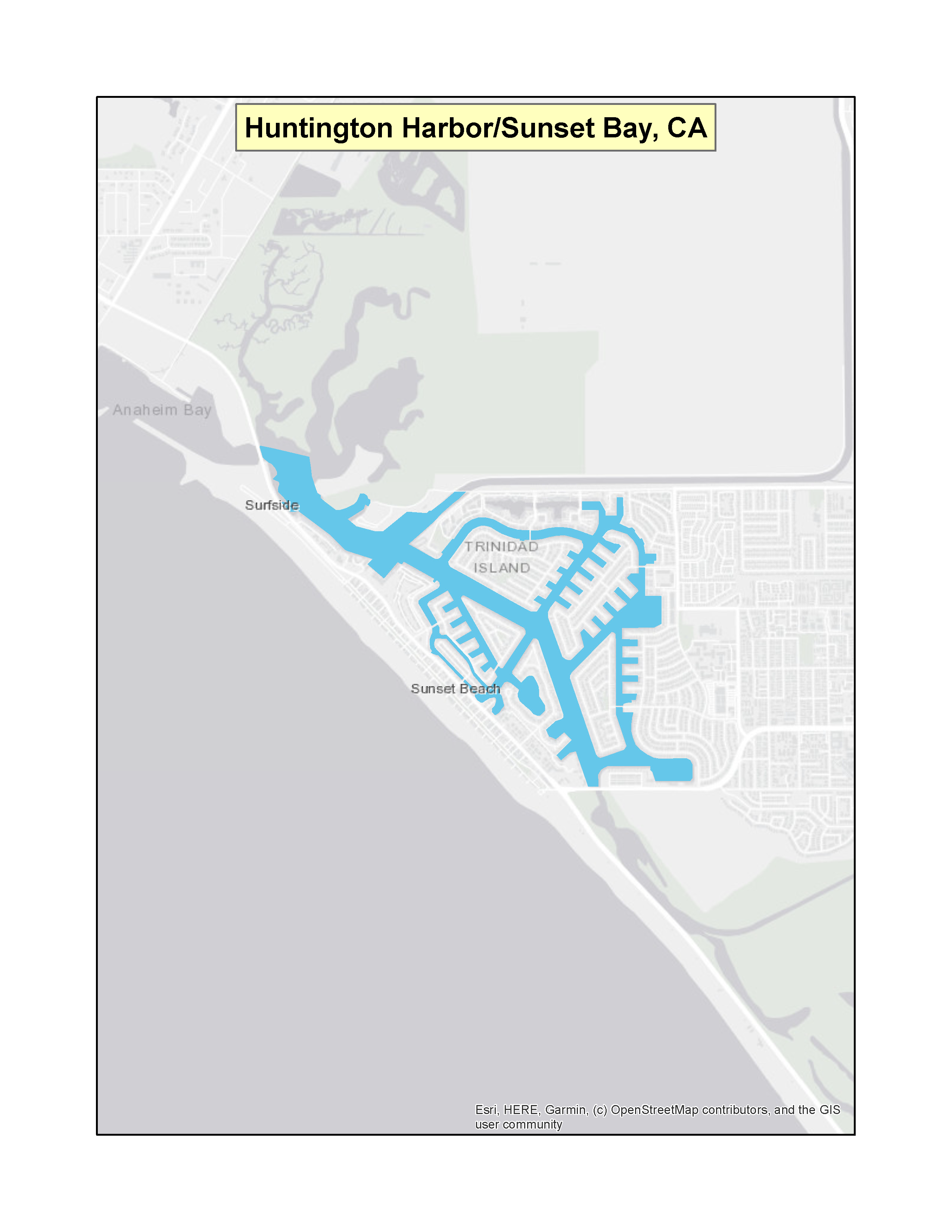 |
|
| California | Huntington Harbor | (f)(3) | 41 FR 2274 (PDF)(1 pp, 39 K) | 01-15-1976 | |
| California | Mission Bay | (f)(3) | 41 FR 34353 (PDF)(1 pp 33 K) | 08-13-1976 | 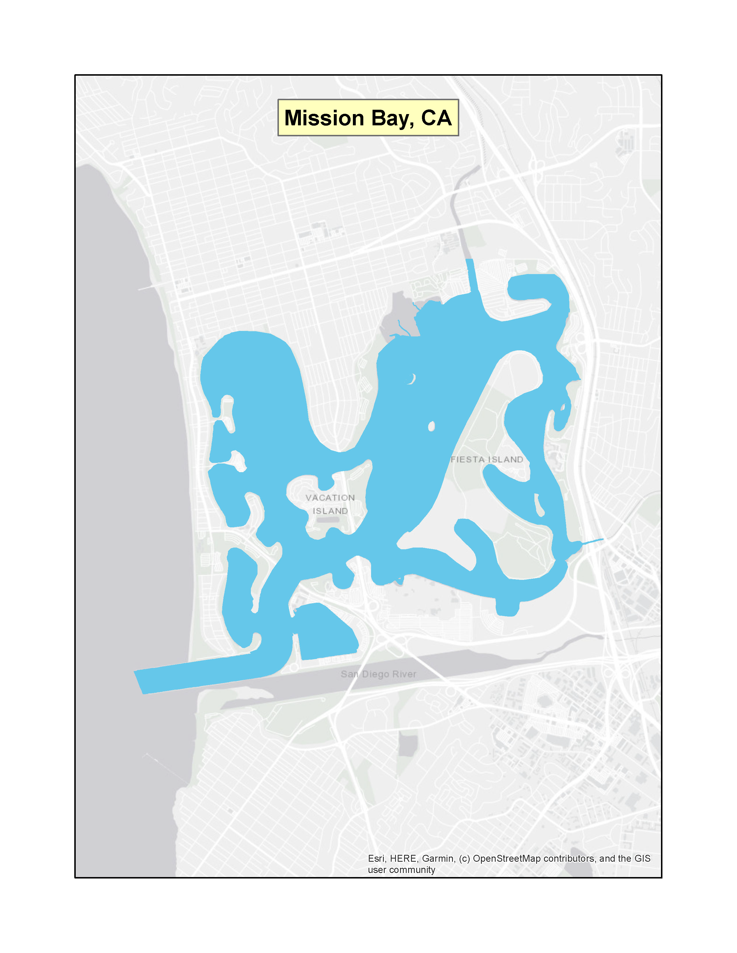 |
|
| California | Oceanside Harbor | (f)(3) | 41 FR 34353 (PDF)(1 pp, 33 K) | 08-13-1976 | 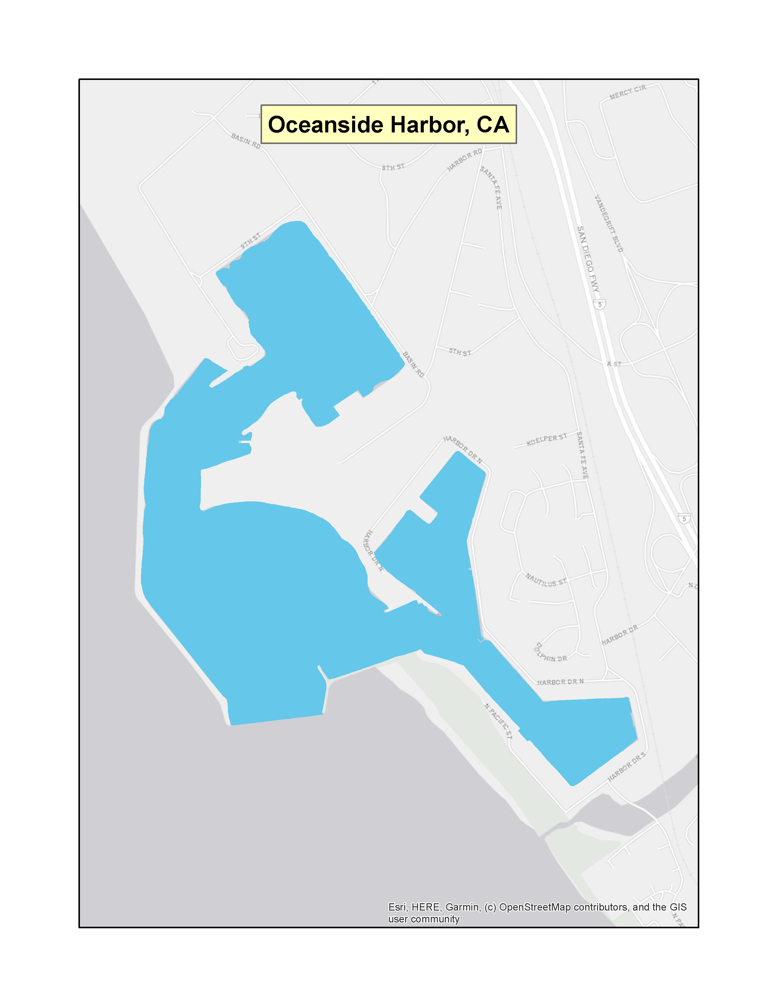 |
|
| California | Dana Point Harbor | (f)(3) | 41 FR 34353 (PDF)(1 pp, 33 K) | 08-13-1976 | 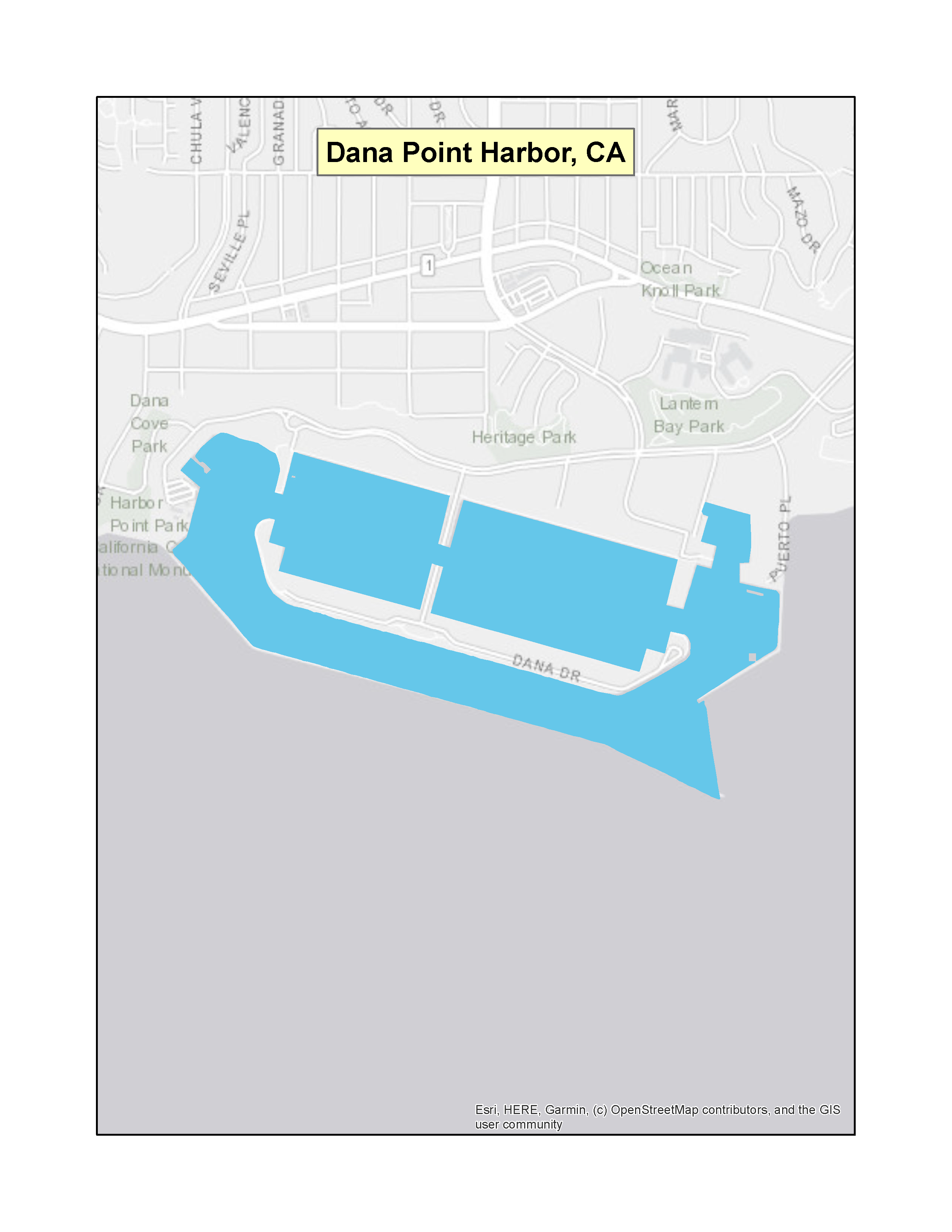 |
|
| California | San Diego Bay
(<30 ft. deep at MLLW) | (f)(3) | 41 FR 34353 (PDF) (1 pp, 33 K) | 08-13-1976 |  |
|
| California | Channel Islands Harbor | (f)(3) | 44 FR 26963 (PDF) (2 pp, 36 K) | 05-08-1979 | 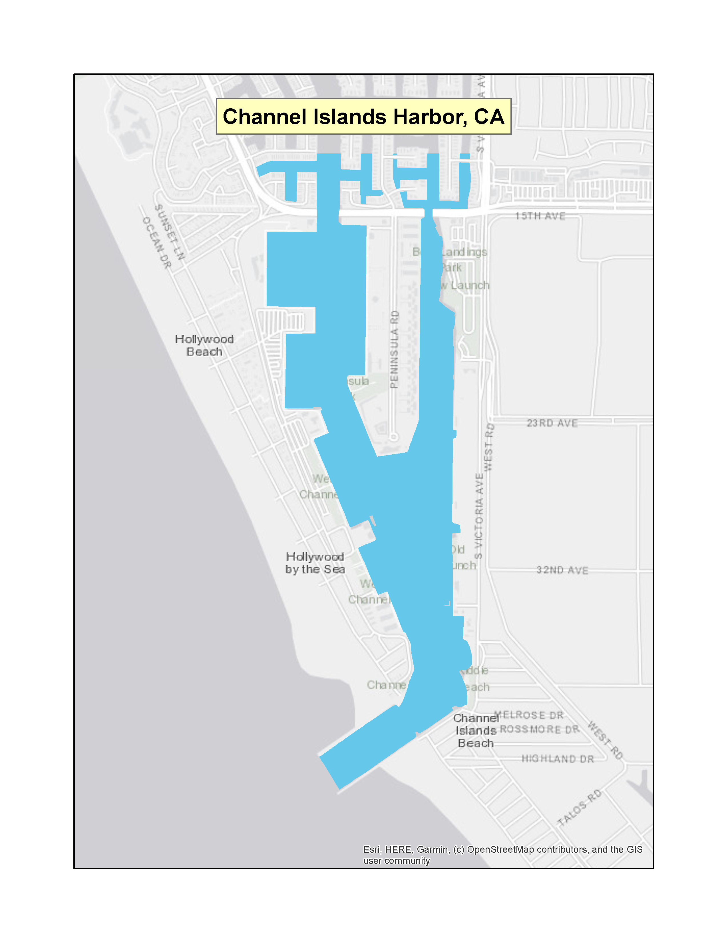 |
|
| California | Avalon Bay Harbor | (f)(3) | 44 FR 26963 (PDF) (2 pp, 36 K) | 05-08-1979 | 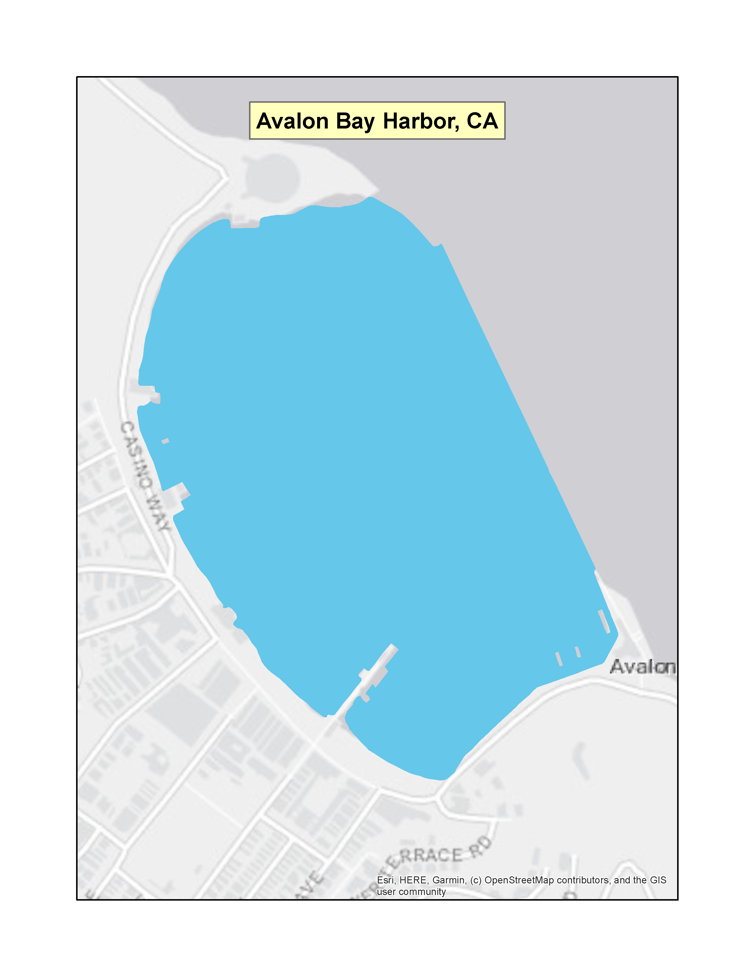 |
|
| California | Richardson Bay | (f)(3) | 52 FR 33282 (PDF) (1 pp, 45 K) | 09-02-1987 |  |
|
| California | California Marine Waters | (f)(4)(A) | 77 FR 11401Exit EPA’s website (PDF)(11 pp, 192 K) | 02-27-2012 | 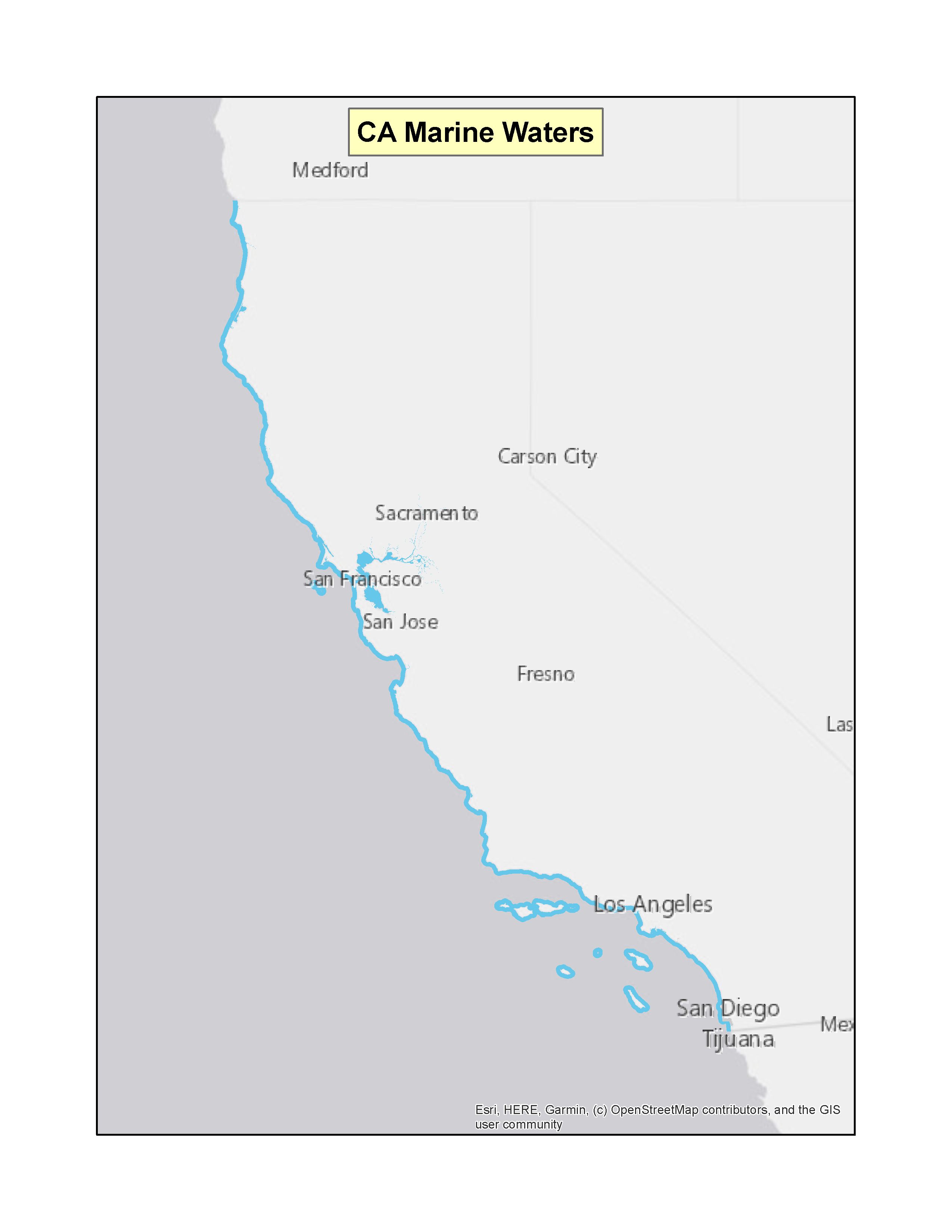 |
|
| ConnecticutExit EPA’s website | Pawcatuck River, Little Narragansett Bay, portions of Fishers Island Sound and all of Stonington Harbor | (f)(3) | 68 FR 50769 (PDF)Exit EPA’s website(2 pp, 41 K) | 08-22-2003 |  |
|
| Connecticut | Mystic River and Pine Island | (f)(3) | 69 FR 57288 (PDF)Exit EPA’s website(2 pp, 177 K) | 09-24-2004 |  |
|
| Connecticut | Eastern Point in Groton to Hoadley Point in Guilford, the Connecticut River, and navigable reaches for the
Hammonasset, Menunketesuck, Niantic, and Thames Rivers. | (f)(3) | 71 FR 27721 (PDF)Exit EPA’s website(4 pp, 162 K) | 05-12-2006 | 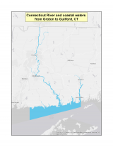 |
|
| Connecticut | Branford, East Haven, New Haven, West Haven, Orange, Milford, Stratford, Bridgeport, Fairfield, Westport, Norwalk, Darien, Stamford, Greenwich, Housatonic River from Derby Dam and the Quinnipiac River from the southern border of North Haven | (f)(3) | 72FR 33222 (PDF)Exit EPA’s website(3 pp, 151 K) | 06-15-2007 | 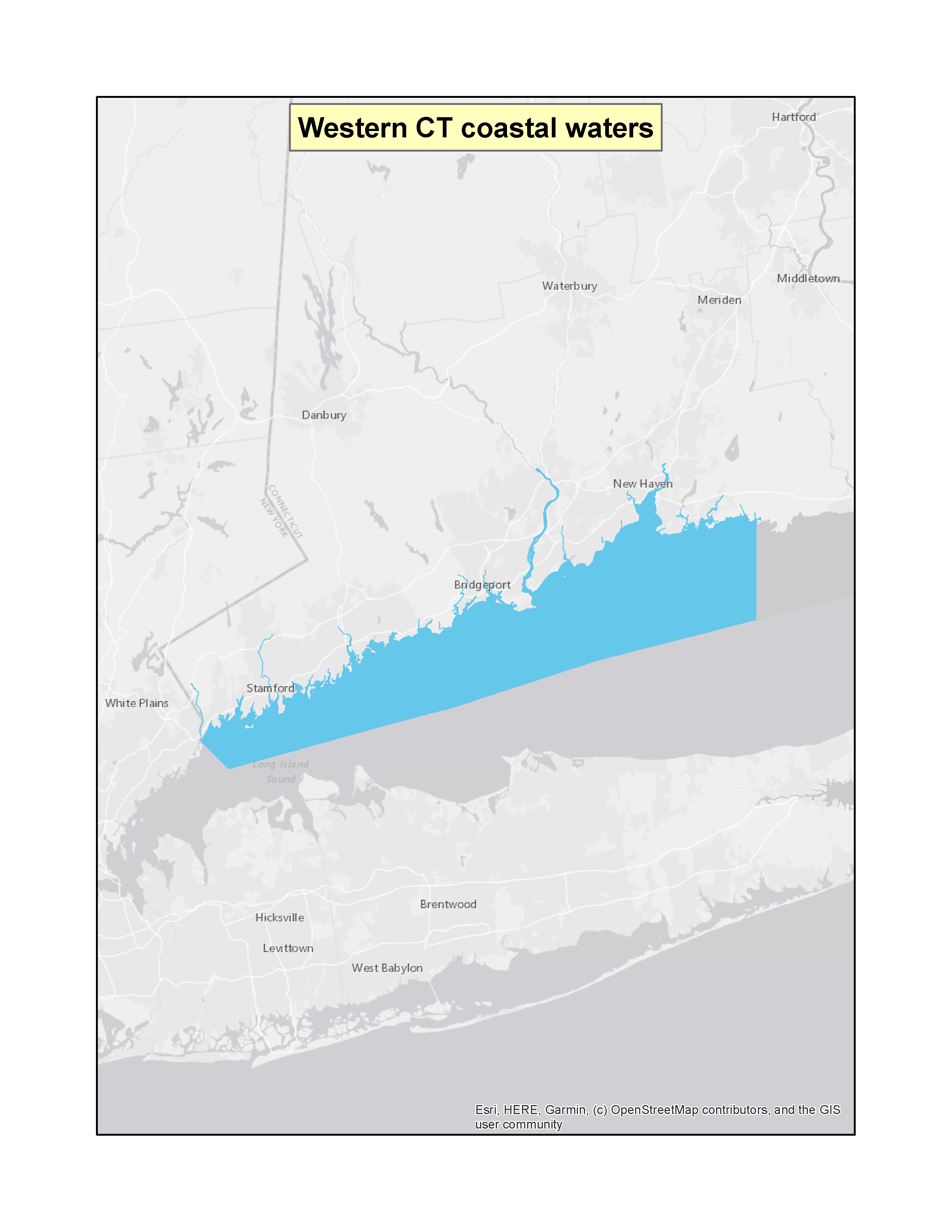 |
|
| FloridaExit EPA’s website | Destin Harbor | (f)(3) | 53 FR 1678 (PDF)(1 pp, 34 K) | 01-21-1988 | 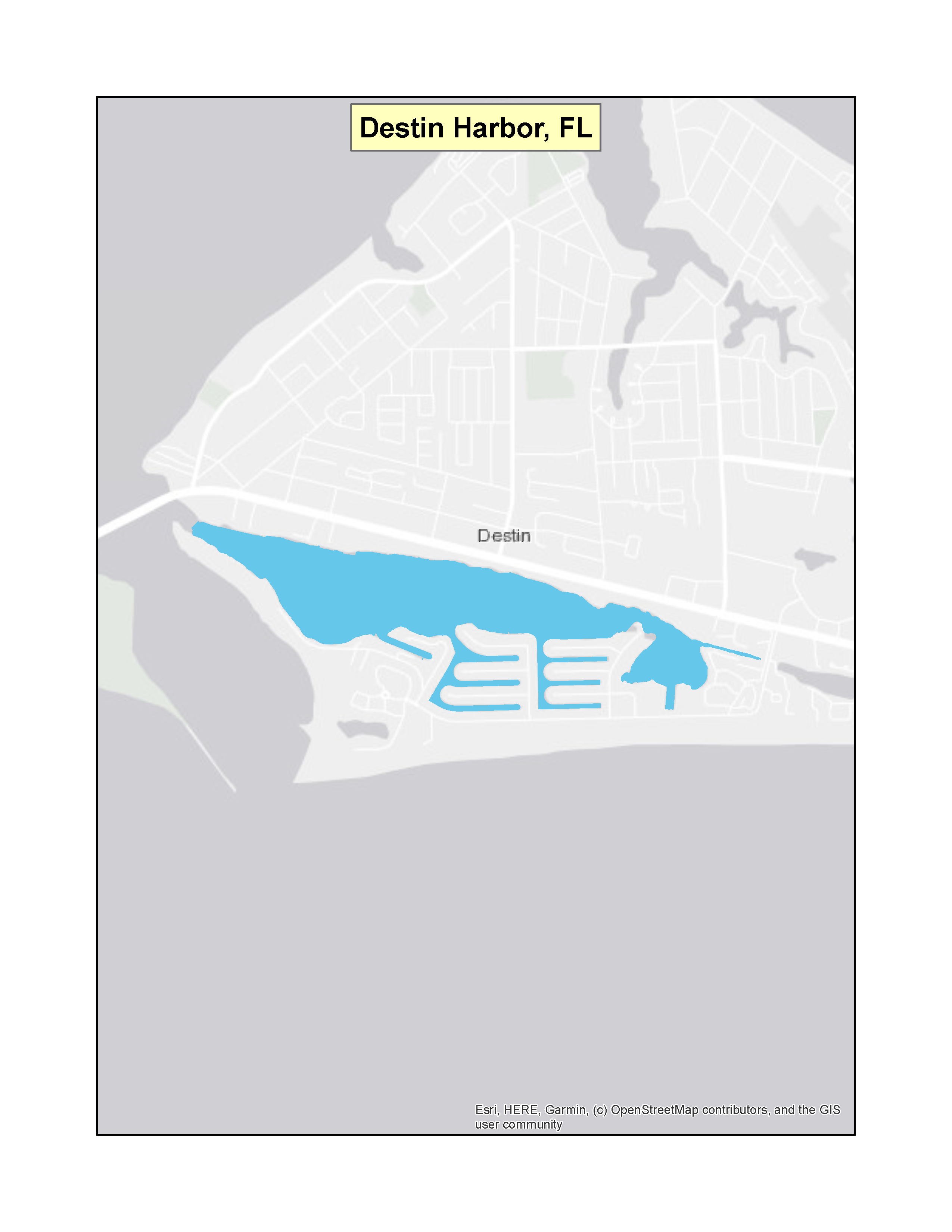 |
|
| Florida | City of Key West waters | (f)(3) | 64 FR 46390 (PDF)Exit EPA’s website(2 pp, 34 K) | 08-25-1999 | 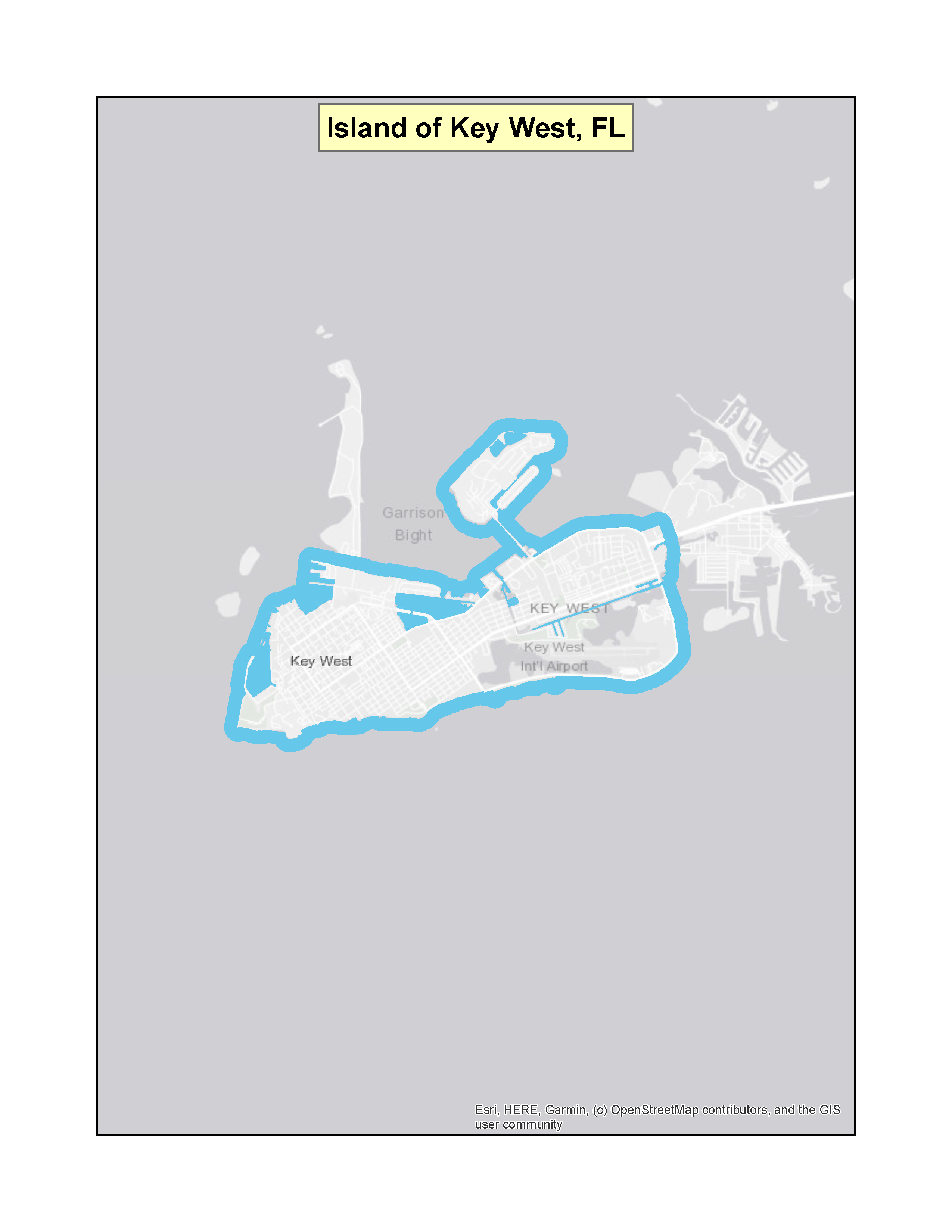 |
|
| Florida | State waters within the Florida Keys National Marine Sanctuary | (f)(4)(A) | 67 FR 35735 (PDF)Exit EPA’s website(9 pp, 191 K) | 05-21-2002 | 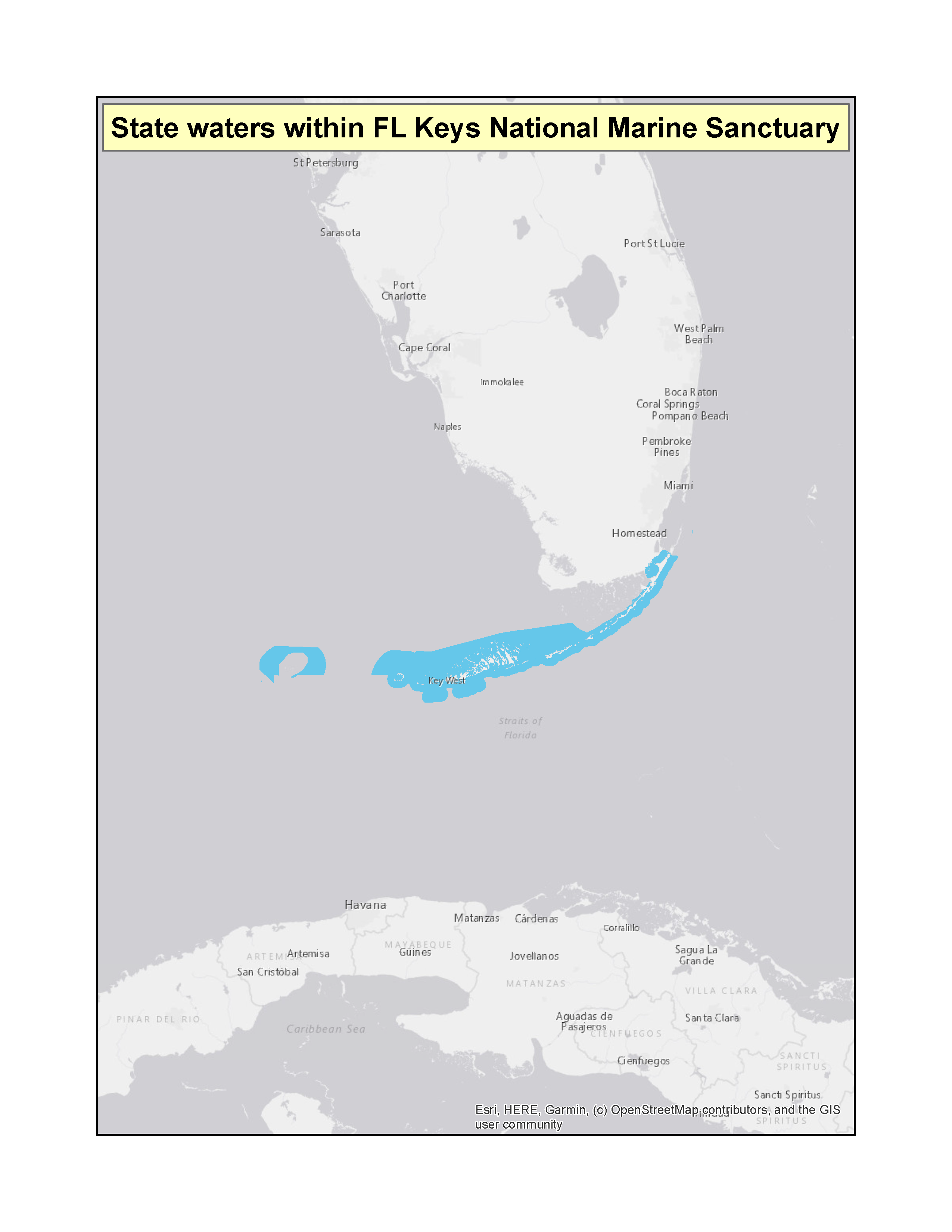 |
|
| Florida | Indian River-Vero Beach to Fort Pierce Aquatic Preserve | (f)(3) | 89 FR 79912 (PDF)Exit EPA’s website(3 pp, 204 K) | 10-01-2024 | 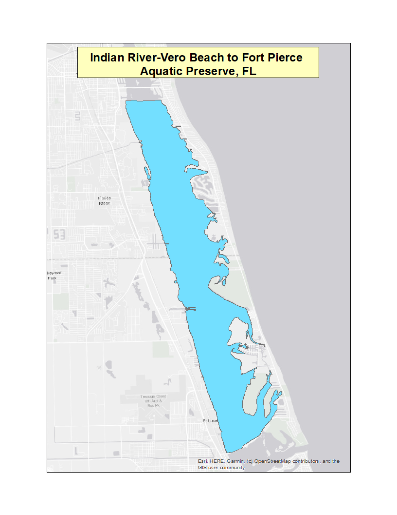 |
|
| MaineExit EPA’s website | Casco Bay | (f)(3) | 71 FR 36527 (PDF)Exit EPA’s website(2 pp, 183 K) | 06-27-2006 | 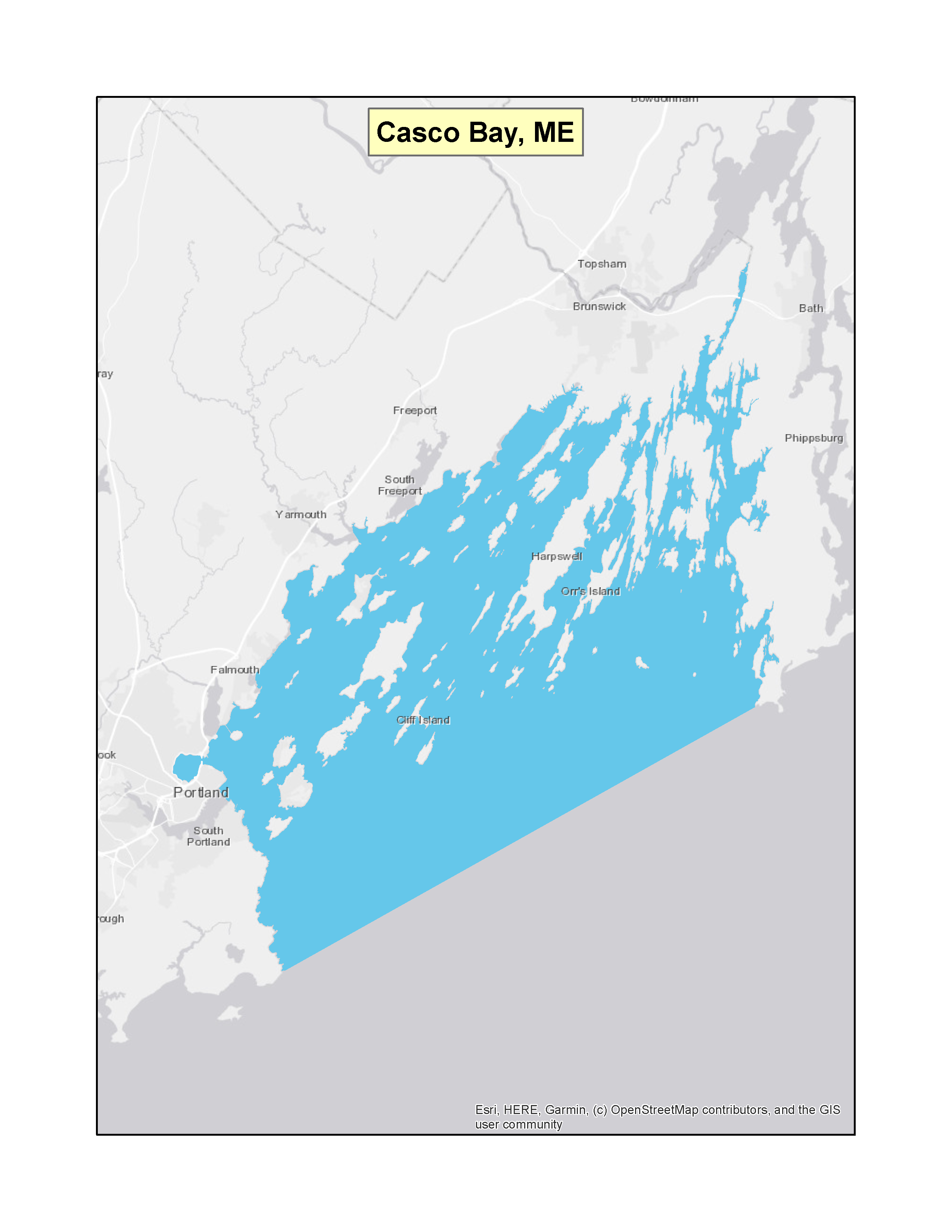 |
|
| Maine | Boothbay Harbor | (f)(3) | 74 FR 12848 (PDF)Exit EPA’s website(2 pp, 139 K) | 03-25-2009 | 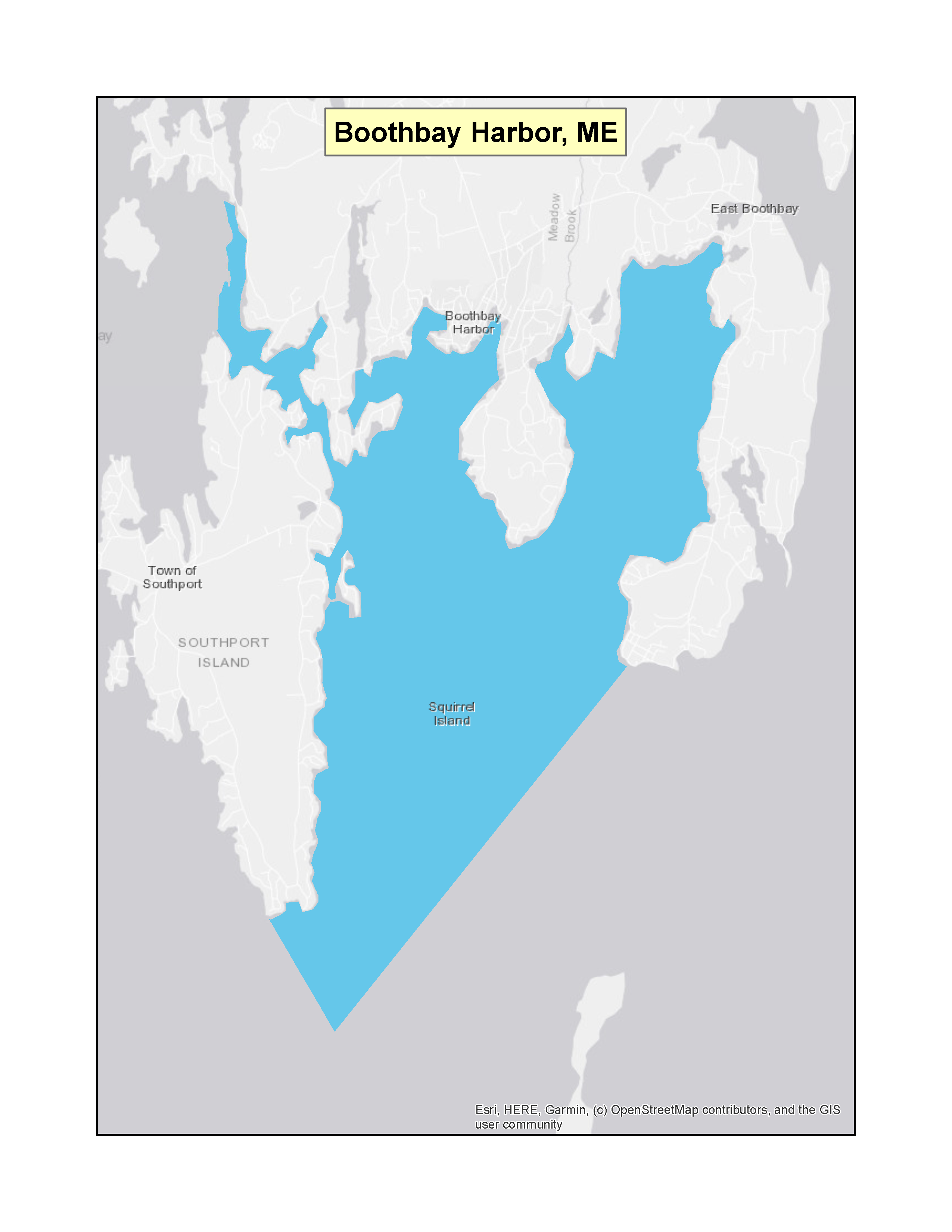 |
|
| Maine | Kennebunk, Kennebunkport, and Wells | (f)(3) | 74 FR 27537 (PDF)Exit EPA’s website(2 pp, 139 K) | 06-10-2009 | 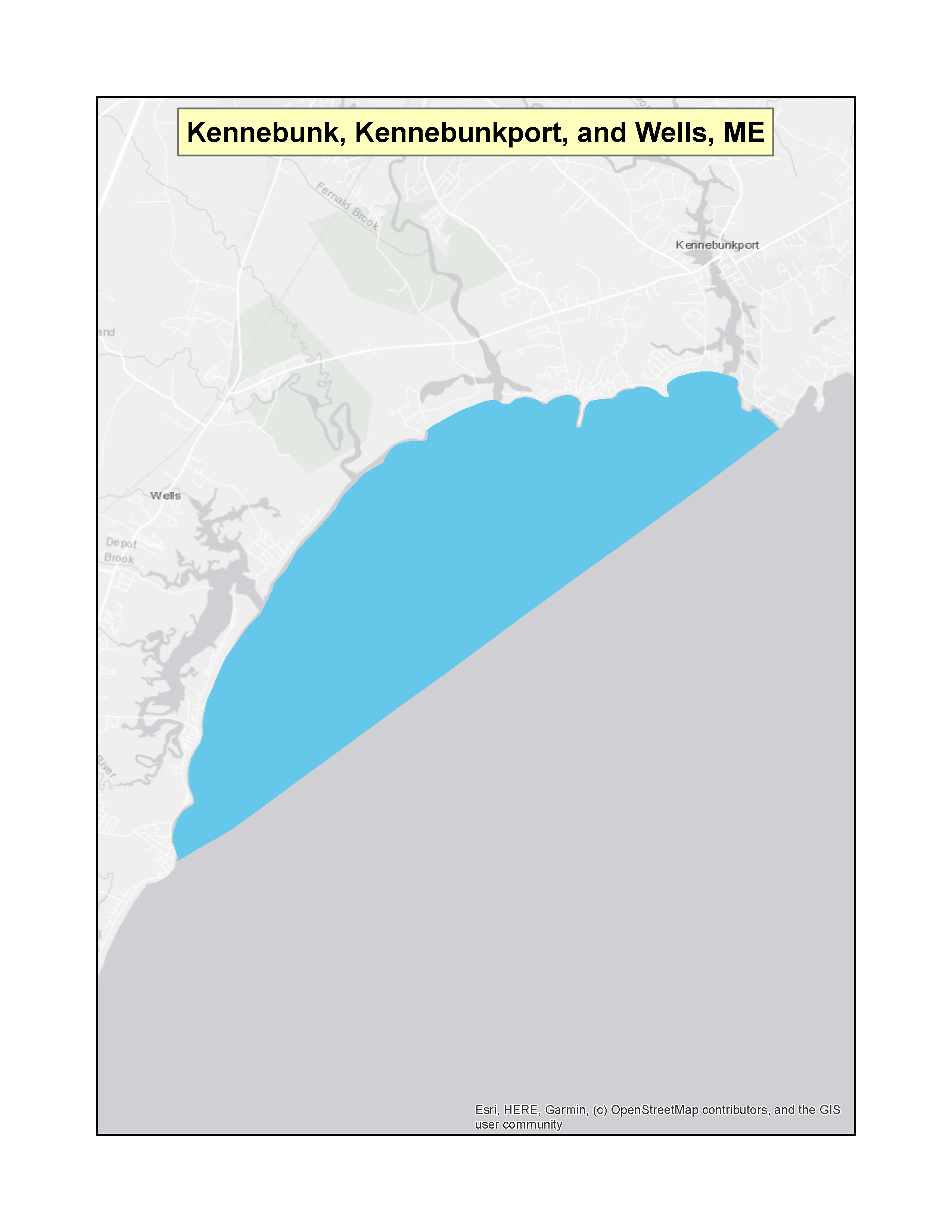 |
|
| Maine | Southern Mount Desert - Mount Desert, Southwest Harbor, portions of Cranberry Isles, and Tremont | (f)(3) | 74 FR 34340 (PDF)Exit EPA’s website(2 pp, 139 K) | 07-15-2009 | 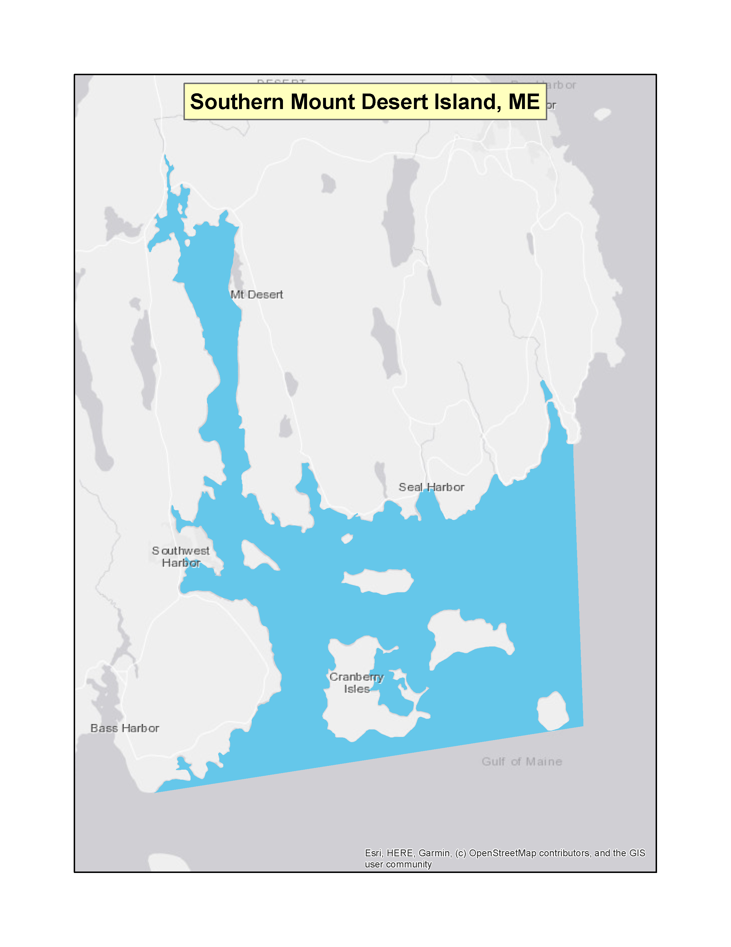 |
|
| Maine | Camden, Rockport, Rockland, and portions of Owls Head | (f)(3) | 75 FR 4379 (PDF)Exit EPA’s website(2 pp, 148 K) | 01-27-2010 |  |
|
| MarylandExit EPA’s website | Herring Bay | (f)(3) | 67 FR 1352 (PDF)Exit EPA’s website(4 pp, 172 K) | 01-10-2002 | 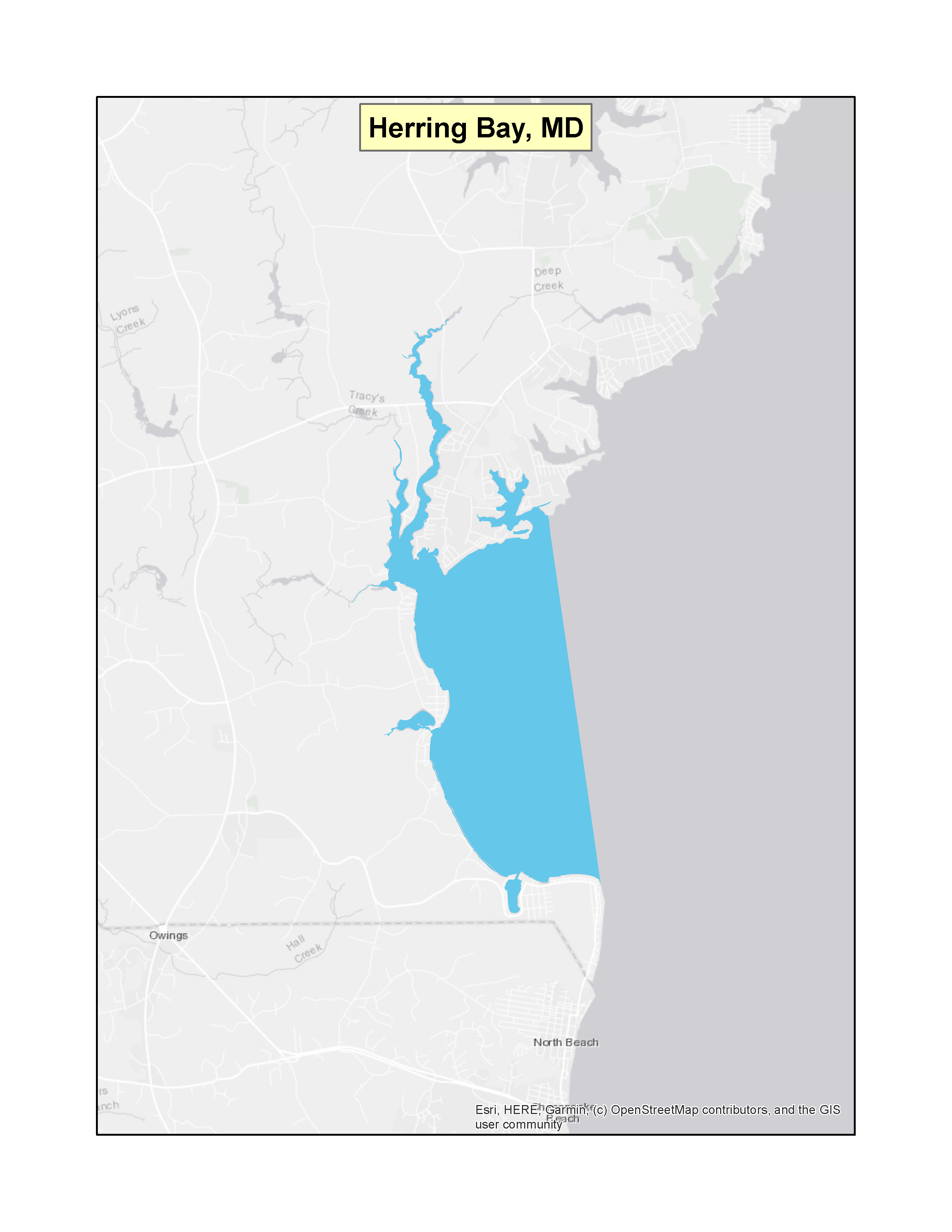 |
|
| Maryland | Northern Coastal Bays | (f)(3) | 67 FR 1352 (PDF)Exit EPA’s website(4 pp, 172 K) | 01-10-2002 | 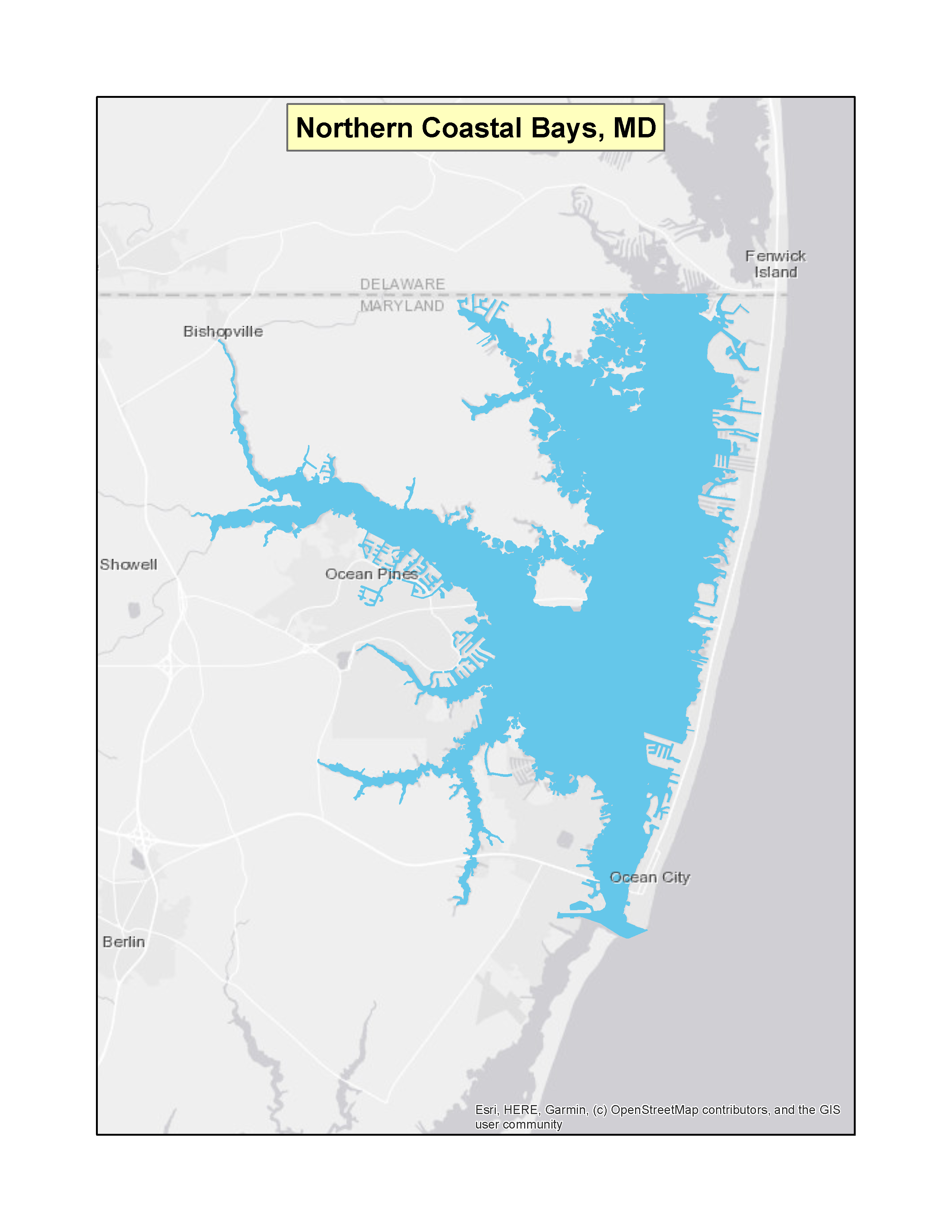 |
|
| Maryland | Chester River and its tributaries | (f)(3) | 84 FR 68444 (PDF)Exit EPA’s website(3 pp, 283 K) | 12-16-2019 | 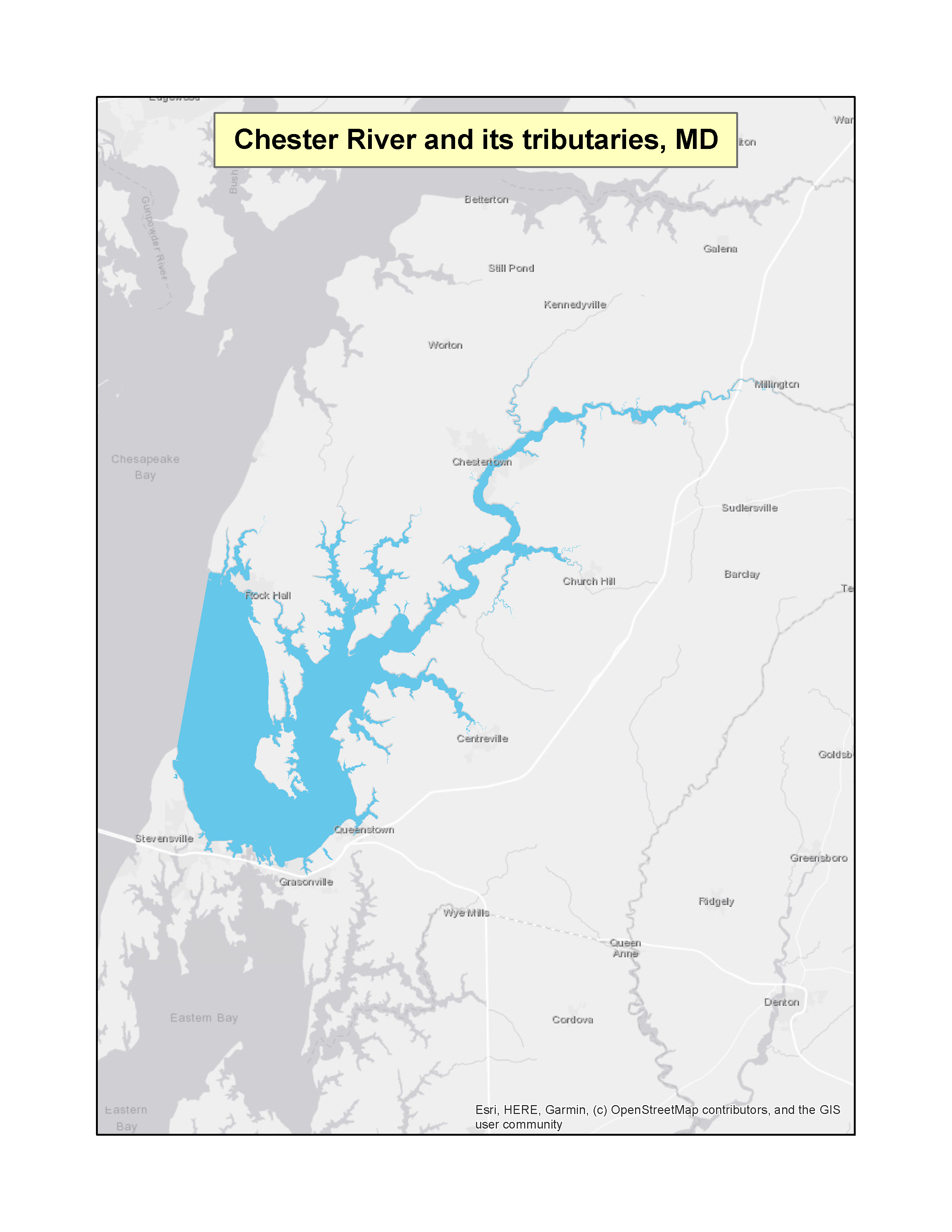 |
|
| Maryland | Thirteen waterbodies in Anne Arundel County (Stoney Creek, Rock Creek, Bodkin Creek, the Atlantic Marina Resort, Magothy and Little Magothy Rivers, Severn River, South River, West and Rhode Rivers, Podickory Creek, Sandy Point/Mezick Ponds, Whitehall Bay, Oyster Cove and Fishing Creek) | (f)(3) | 86 FR 25856 (PDF) Exit EPA’s website(5 pp, 259 K) 86 FR 50883 (PDF)Exit EPA’s website (2 pp, 205 K) (Correction) | 05-11-2021 | 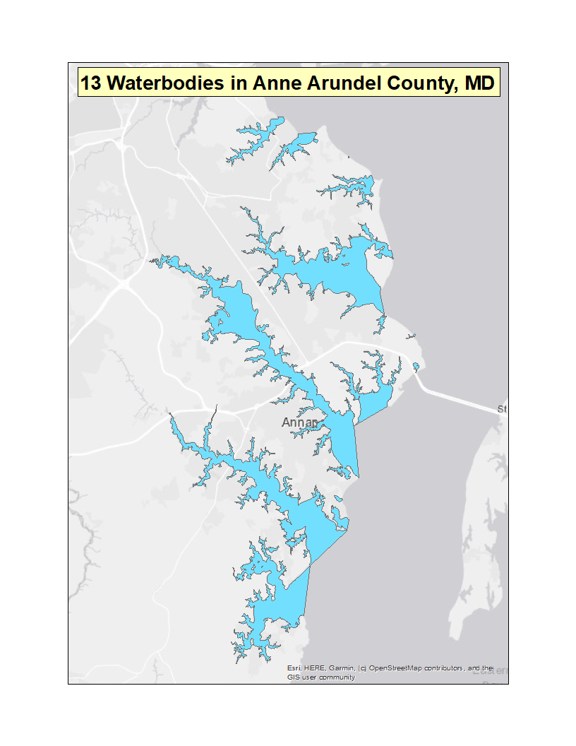 |
|
| MassachusettsExit EPA’s website | All State Waters | (f)(3) | 57 FR 2553 (PDF)
(2 pp, 34 K)
57 FR 44379 (PDF)(2 pp, 33 K)
59 FR 45677 (PDF)(1 pp, 34 K)
59 FR 25052 (PDF)(1 pp, 34 K)
60 FR 37443 (PDF)Exit EPA’s website(1 pp, 138 K)
62 FR 13885 (PDF)Exit EPA’s website(2 pp, 109 K)
63 FR 44255 (PDF)Exit EPA’s website(2 pp, 195 K)
65 FR 46712 (PDF)Exit EPA’s website(2 pp, 247 K)
66 FR 35628 (PDF)Exit EPA’s website(2 pp, 164 K)
71 FR 41216 (PDF)Exit EPA’s website(2 pp, 183 K)
73 FR 29752 (PDF)Exit EPA’s website(2 pp, 178 K)
73 FR 35684 (PDF)Exit EPA’s website(3 pp, 182 K)
73 FR 43224 (PDF)Exit EPA’s website(3 pp, 187 K)
73 FR 43441 (PDF)Exit EPA’s website(2 pp, 177 K)
74 FR 11547 (PDF)Exit EPA’s website(2 pp, 177 K)
75 FR 38516 (PDF)Exit EPA’s website(2 pp, 50 K)
75 FR 43979 (PDF)Exit EPA’s website(3 pp, 60 K)
76 FR 39395 (PDF)Exit EPA’s website(2 pp, 152 K)
77 FR 36533 (PDF)Exit EPA’s website(2 pp, 198 K)
77 FR 38797 (PDF)Exit EPA’s website(3 pp, 218 K)
79 FR 30134 (PDF)Exit EPA’s website(2 pp, 182 K) | 01-22-1992
09-25-1992 09-02-1994 05-13-1994 07-20-1995 03-24-1997 08-18-1998 07-31-2000 07-06-2001 07-20-2006 05-22-2008 06-24-2008 07-25-2008 07-24-2008 03-18-2009 07-02-2010 07-27-2010 07-06-2011 06-19-2012 06-29-2012 05-27-2014 | 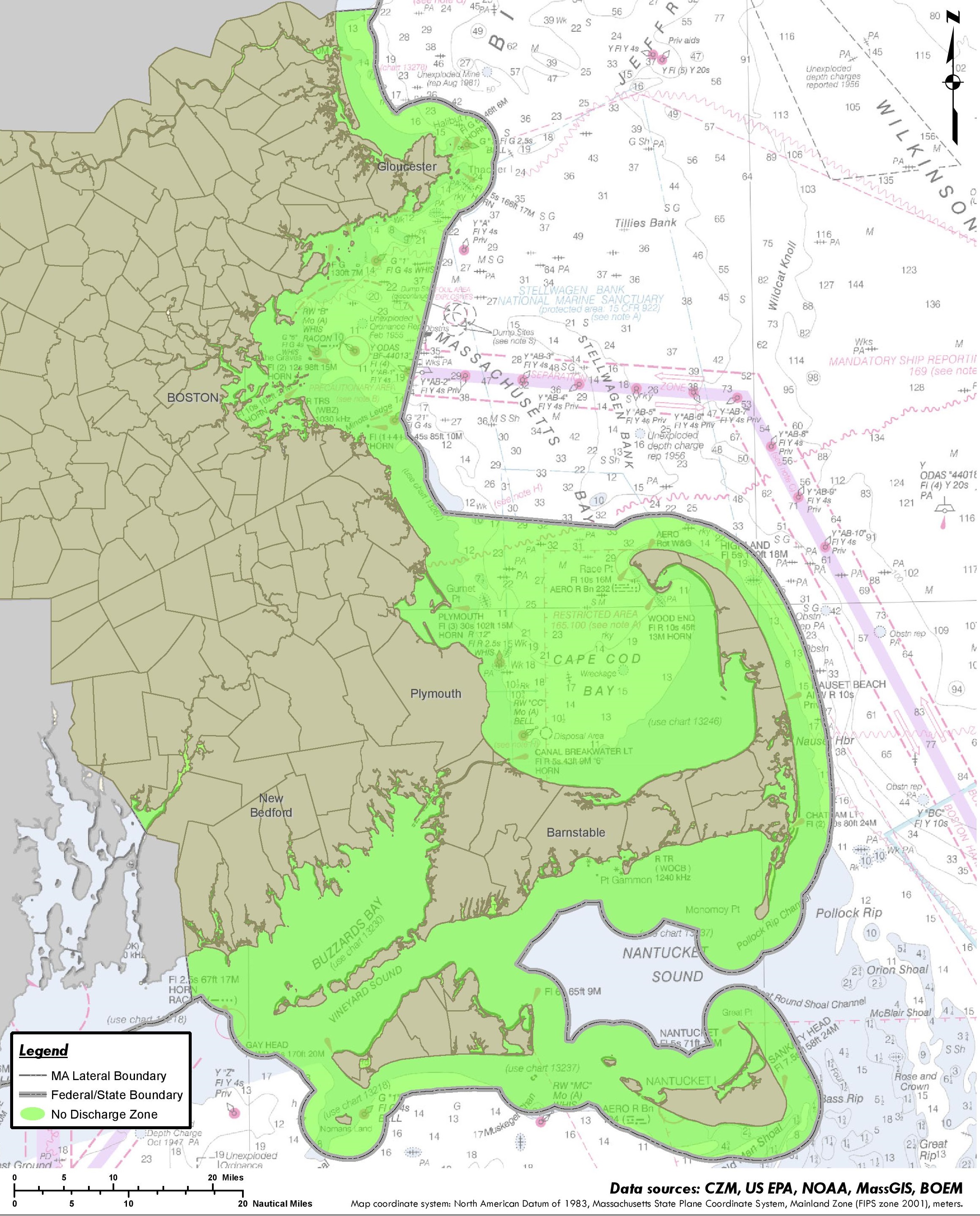 Courtesy of Massachusetts
Office of Coastal Zone
Management |
| MichiganExit EPA’s website | All | (f)(3) | 41 FR 2274 (PDF)(1 pp, 39 K) | 1-15-1976 | 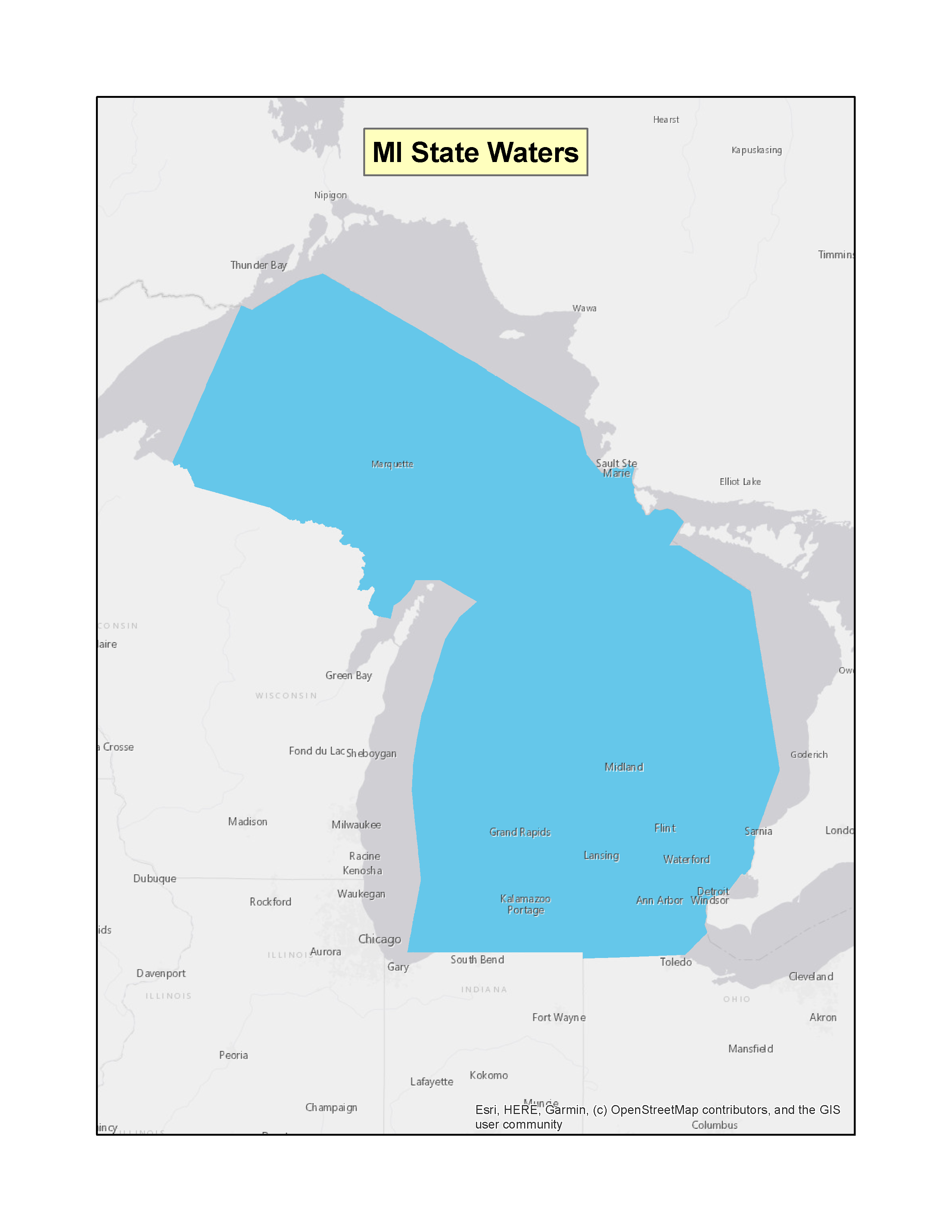 |
|
| Minnesota | Minnesota River (part) | (f)(3) | 42 FR 33362 (PDF) (1 pp, 28 K) | 06-30-1977 | 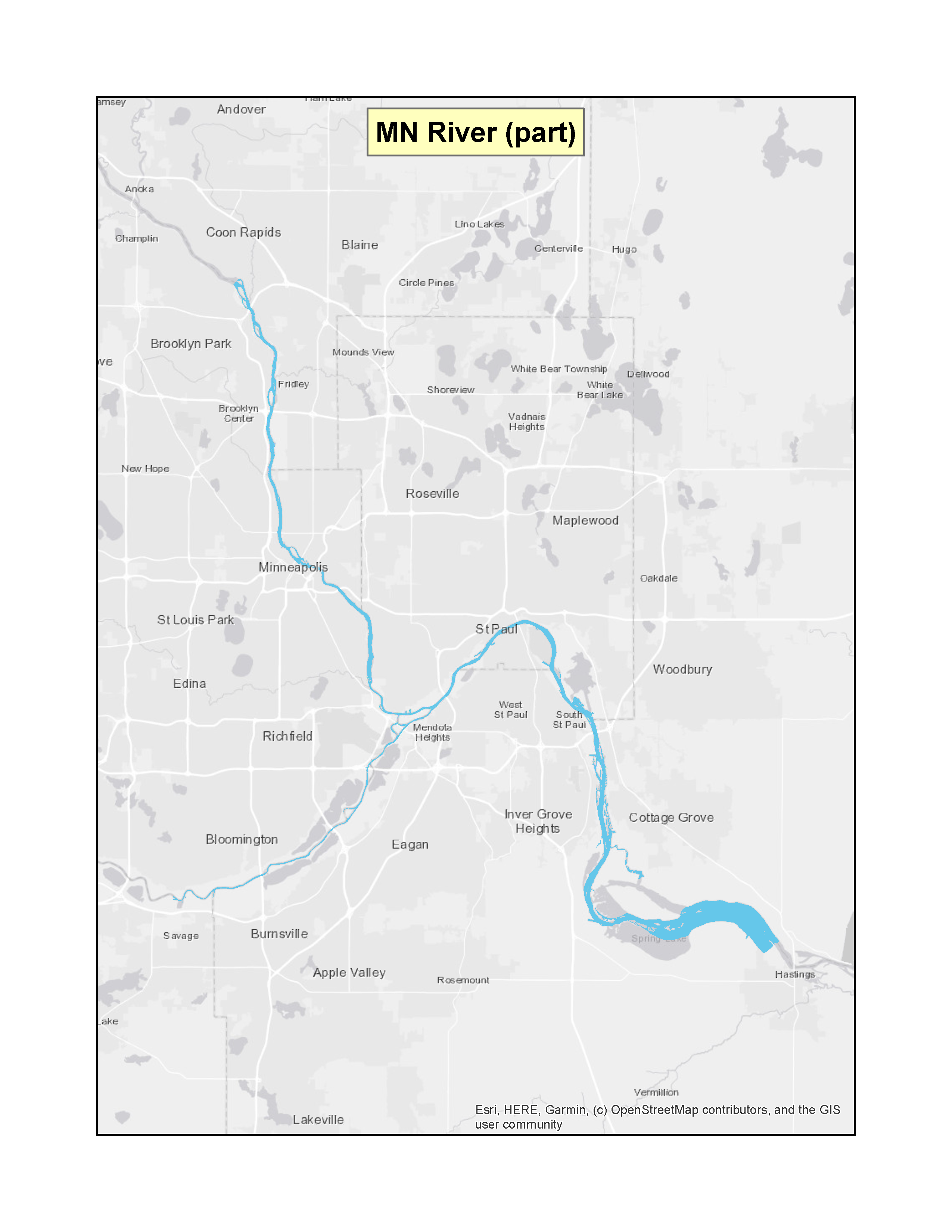 |
|
| Minnesota | Boundary Waters Canoe Area | (f)(4)(A) | 42 FR 43837 (PDF) (1 pp, 34 K) | 08-31-1977 |  |
|
| Missouri | All (except Miss. River, Missouri River, part of Bull Shoals Lake) | (f)(3) | 40 FR 54462 (PDF) (1 pp, 33 K) | 11-24-1975 |  |
|
| New HampshireExit EPA’s website | All except tidal waters | (f)(3) | 40 FR 36797 (PDF) (1 pp, 31 K) | 08-22-1975 | 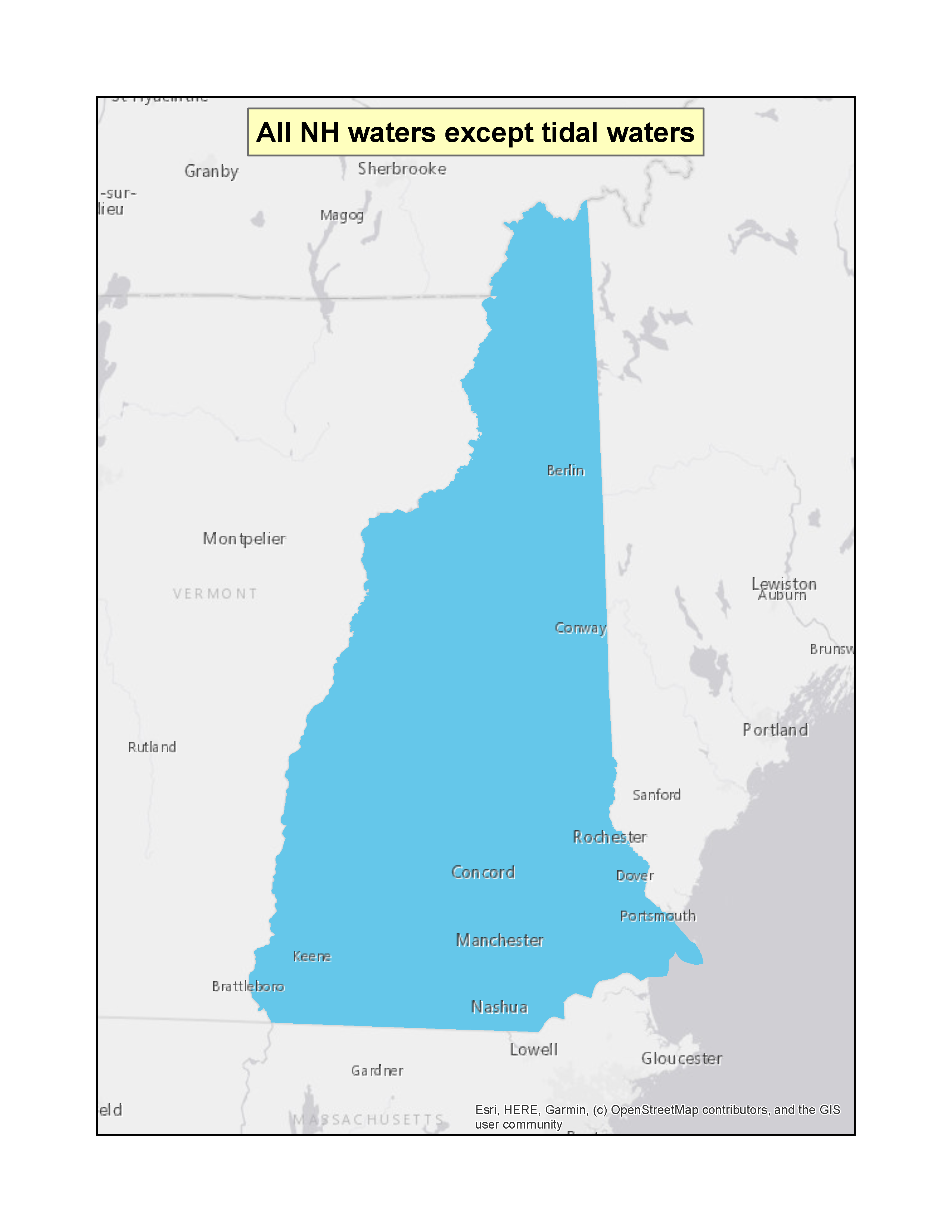 |
|
| New Hampshire | All New Hampshire coastal waters as defined in the Federal Register Notice | (f)(3) | 70 FR 56465 (PDF)Exit EPA’s website(2 pp, 179 K) | 07-27-2005 | 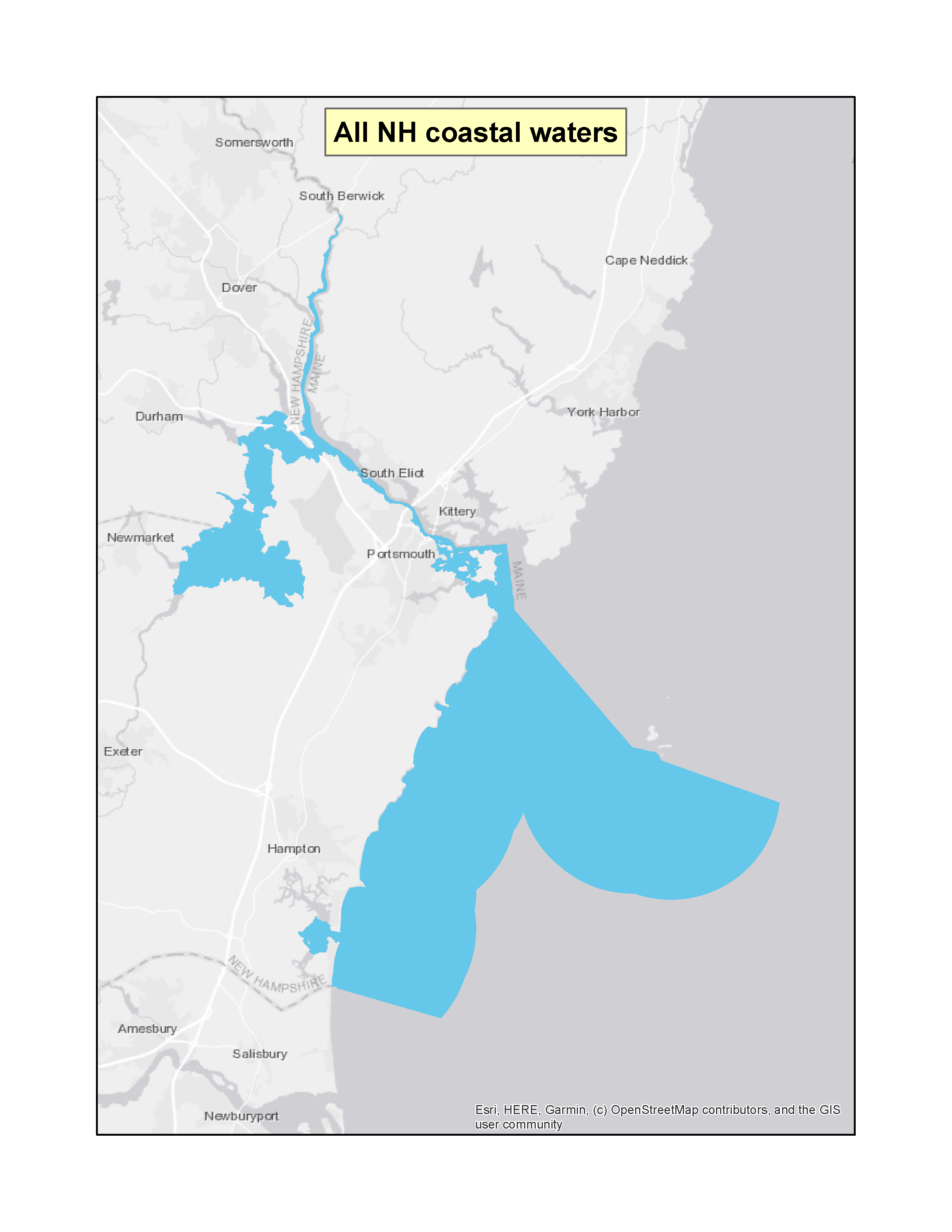 |
|
| New JerseyExit EPA’s website | Shark River | (f)(3) | 63 FR 30742 (PDF)Exit EPA’s website(3 pp, 150 K) | 06-05-1998 | 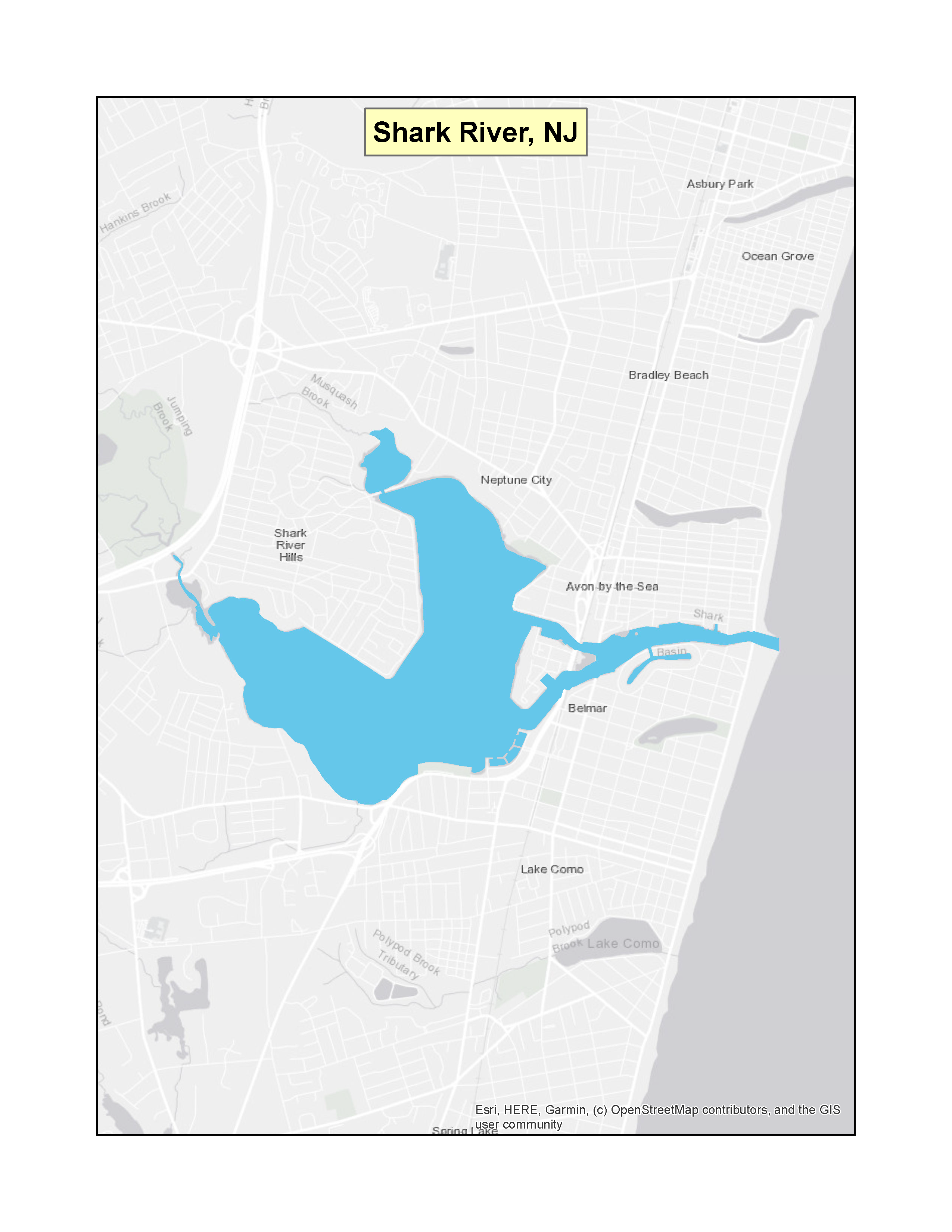 |
|
| New Jersey | Manasquan River | (f)(3) | 63 FR 30740 (PDF)Exit EPA’s website(3 pp, 150 K) | 06-05-1998 | 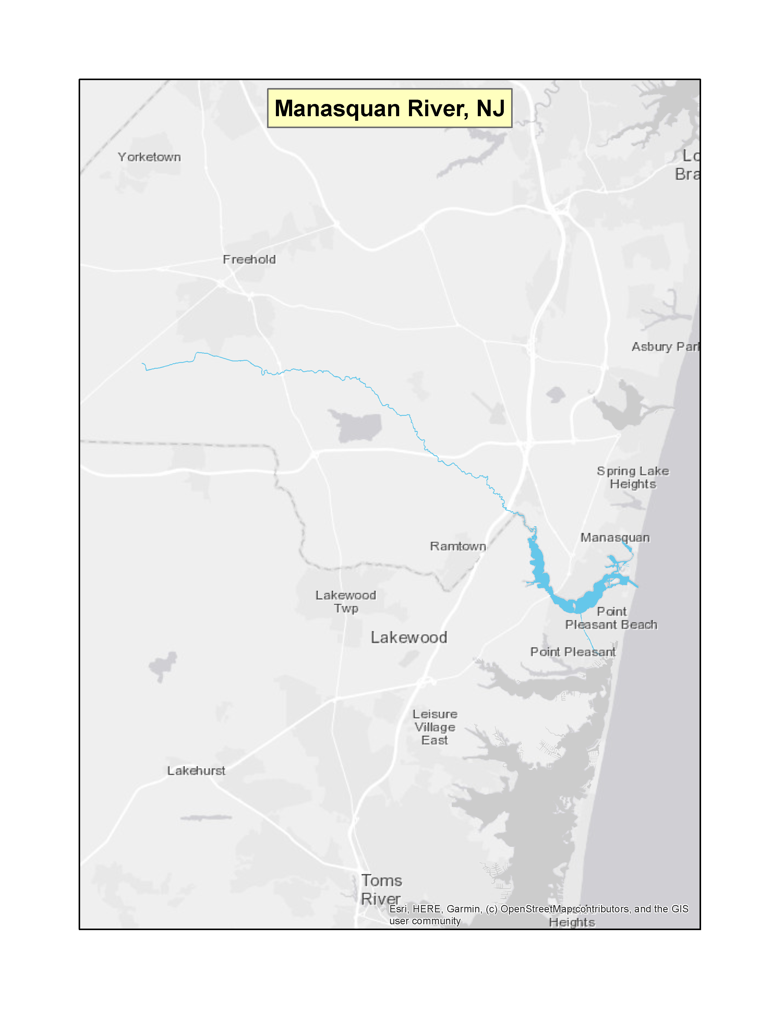 |
|
| New Jersey | Navesink River | (f)(3) | 64 FR 42377 (PDF)Exit EPA’s website(2 pp, 145 K) | 08-04-1999 | 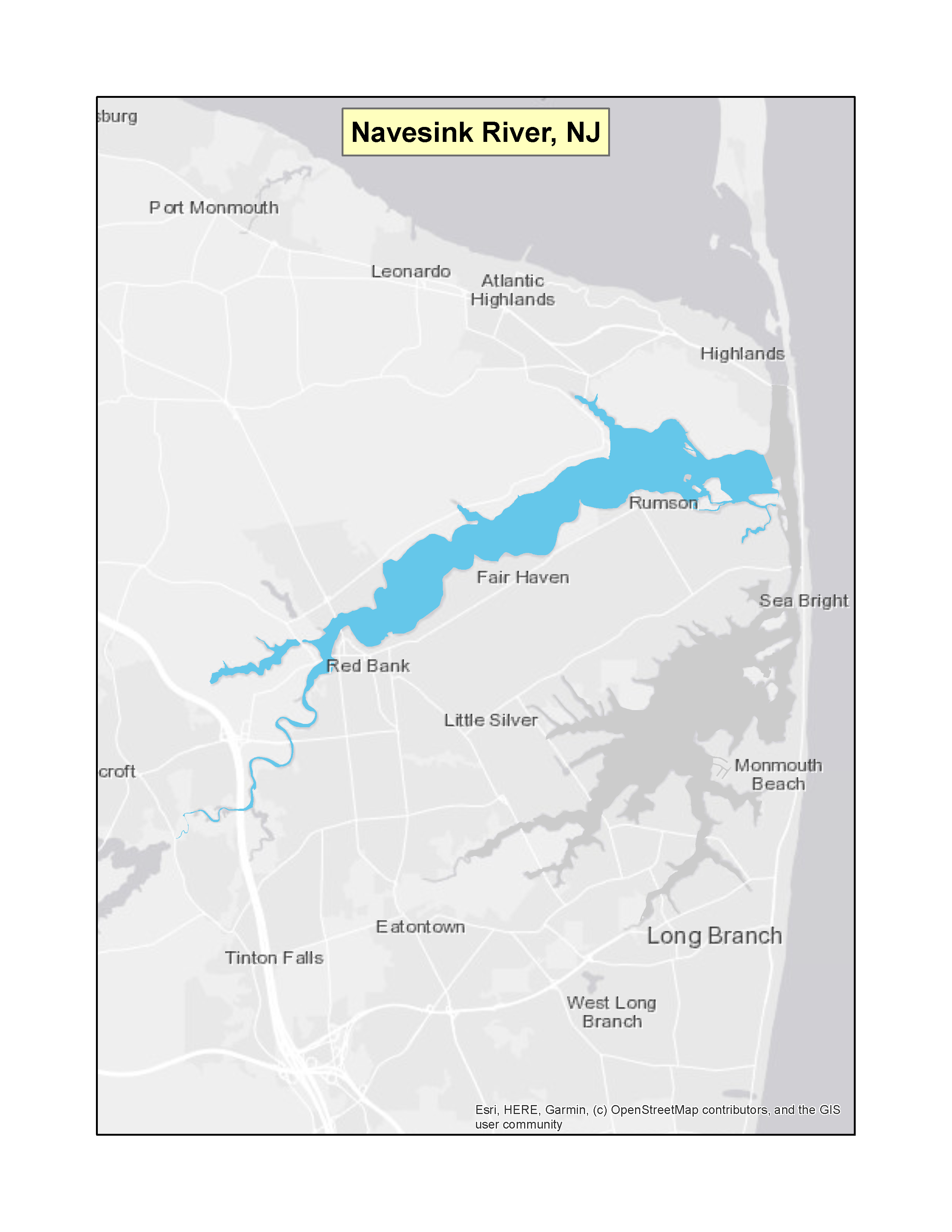 |
|
| New Jersey | Shrewsbury River | (f)(3) | 65 FR 32091 (PDF)Exit EPA’s website(2 pp, 120 K) | 05-22-2000 | 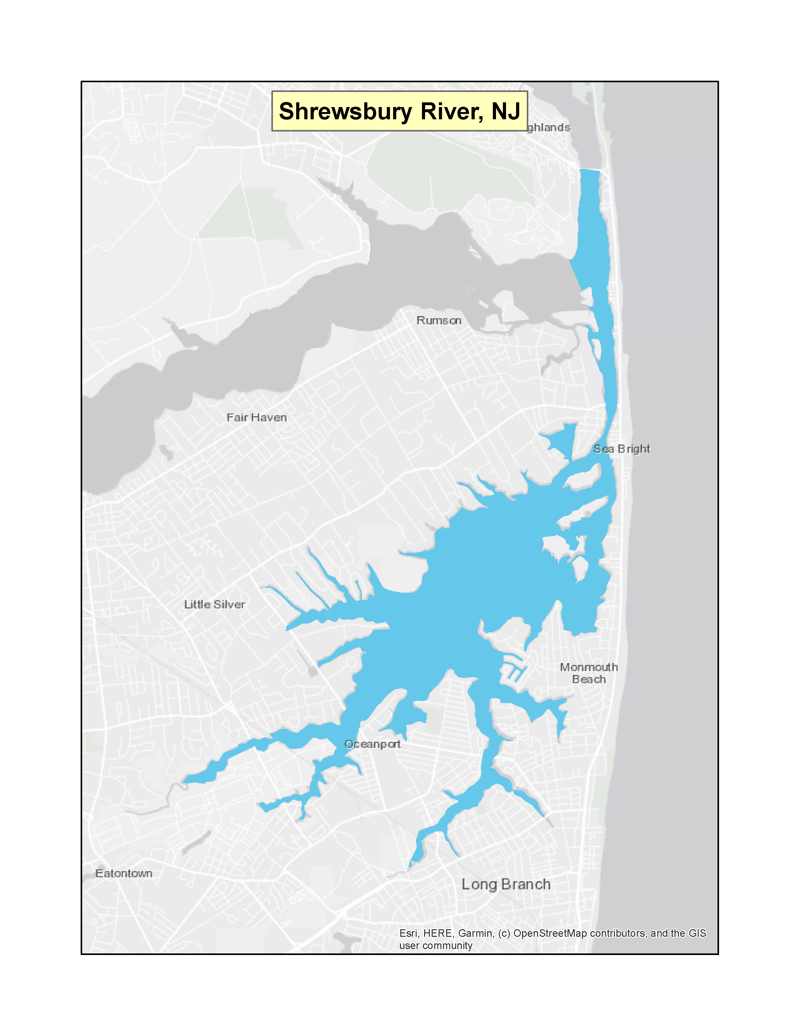 |
|
| New Jersey | Barnegat Bay | (f)(3) | 68 FR 35214 (PDF)Exit EPA’s website(2 pp, 42 K) | 06-12-2003 | 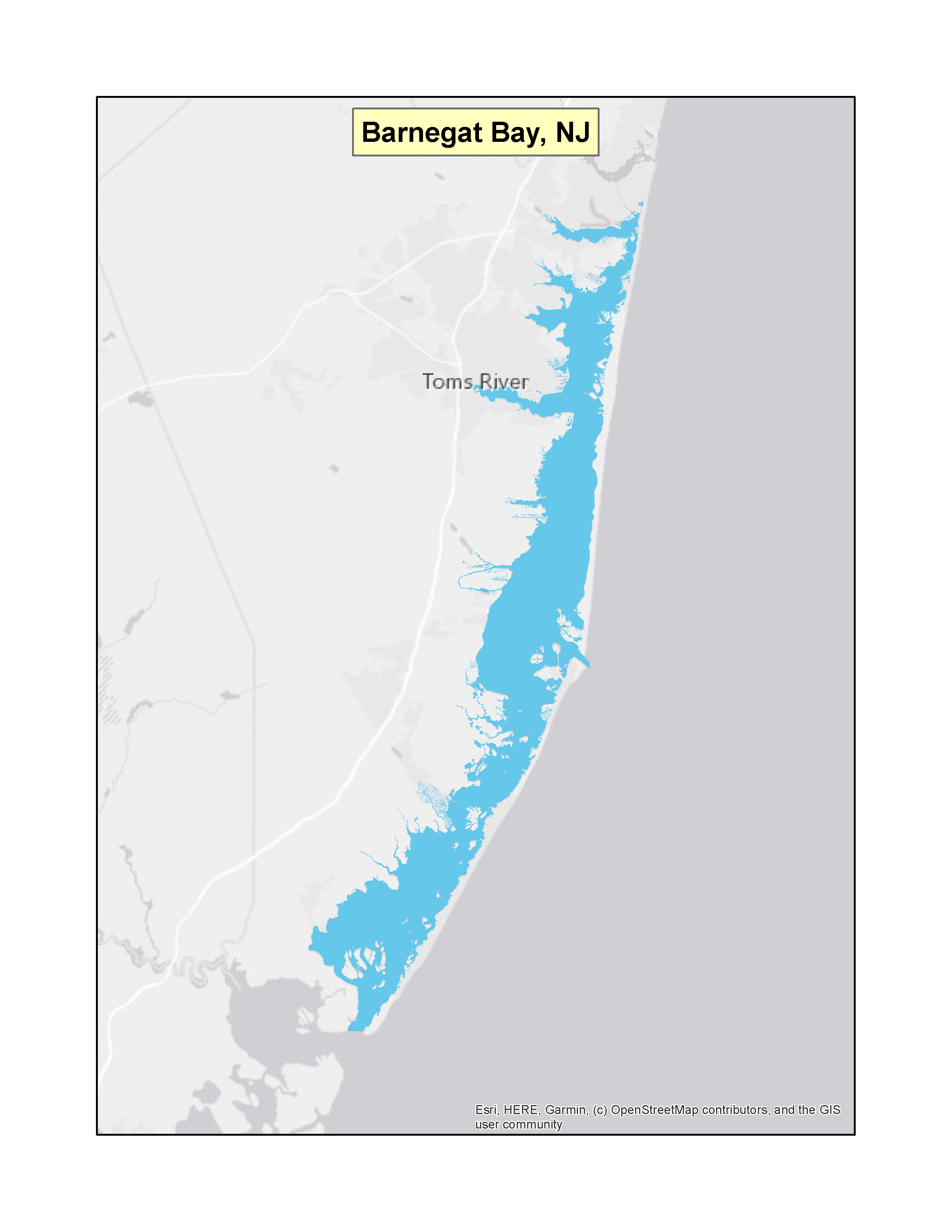 |
|
| New Mexico | All | (f)(3) | 41 FR 17599 (PDF)(1 pp, 32 K) | 04-27-1976 | 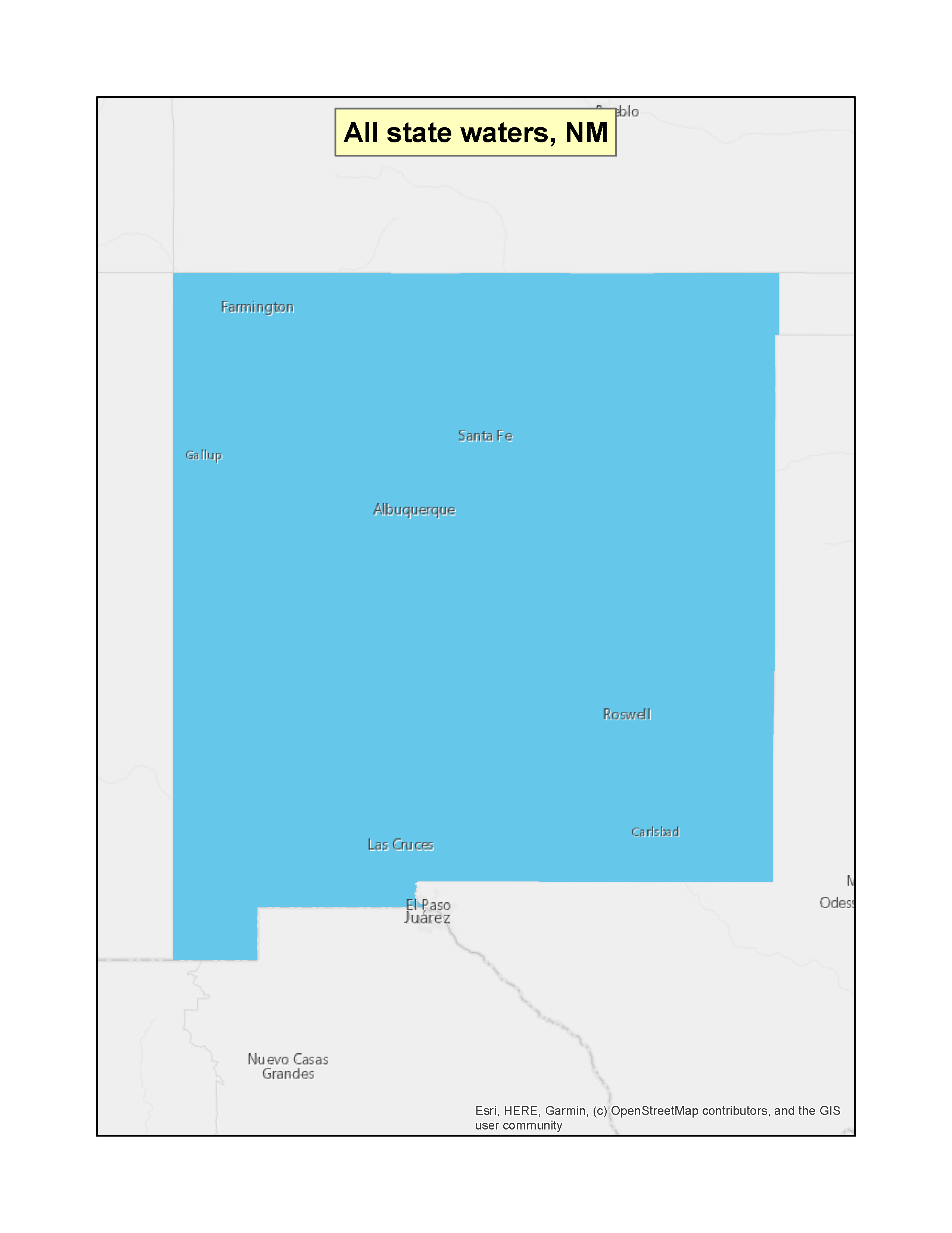 |
|
| New YorkExit EPA’s website | Lake George | (f)(3) | 41 FR 2668 (PDF)(1 pp, 28 K) | 01-19-1976 | 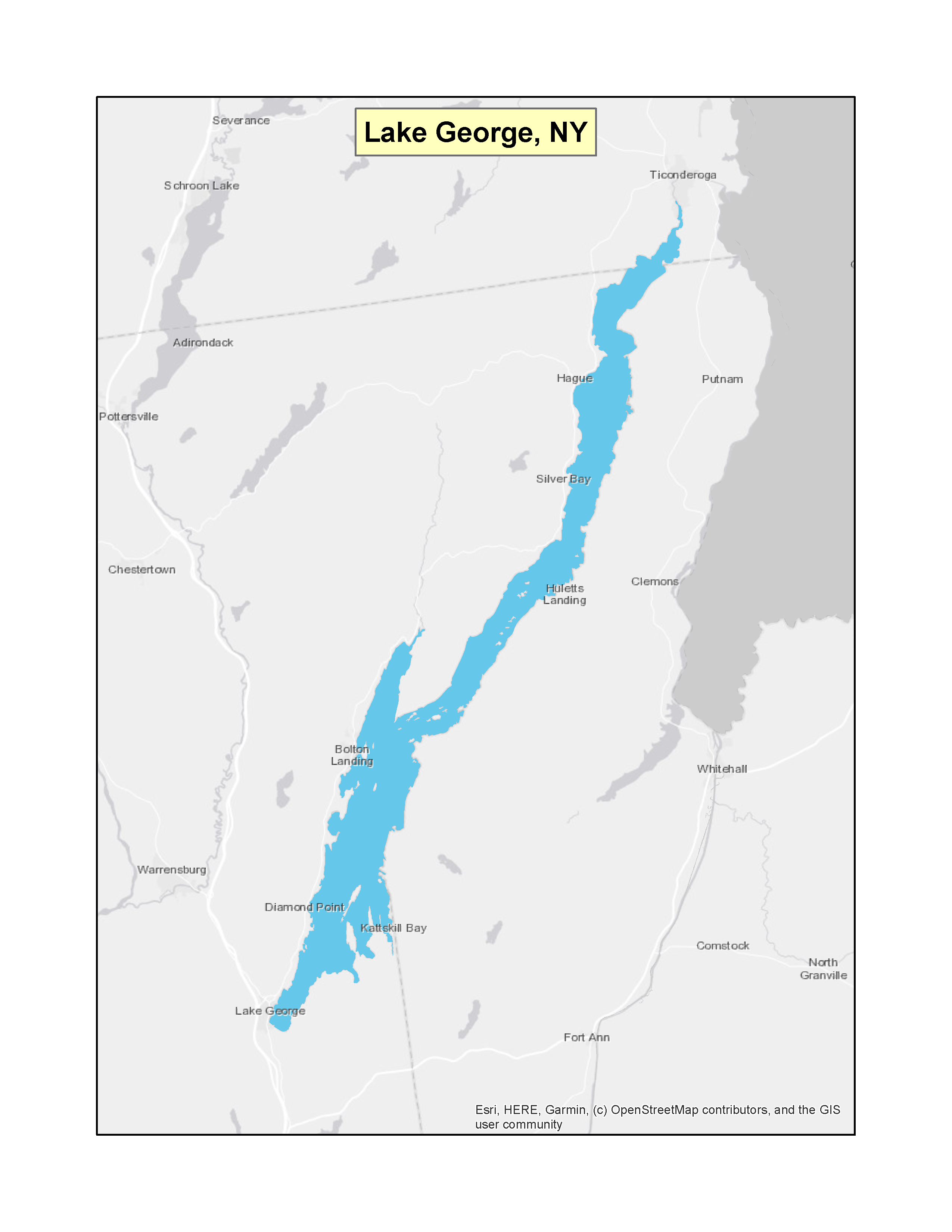 |
|
| New York | Lake Champlain | (f)(3) | 41 FR 24624 (PDF)(1 pp, 36 K) | 06-17-1976 | 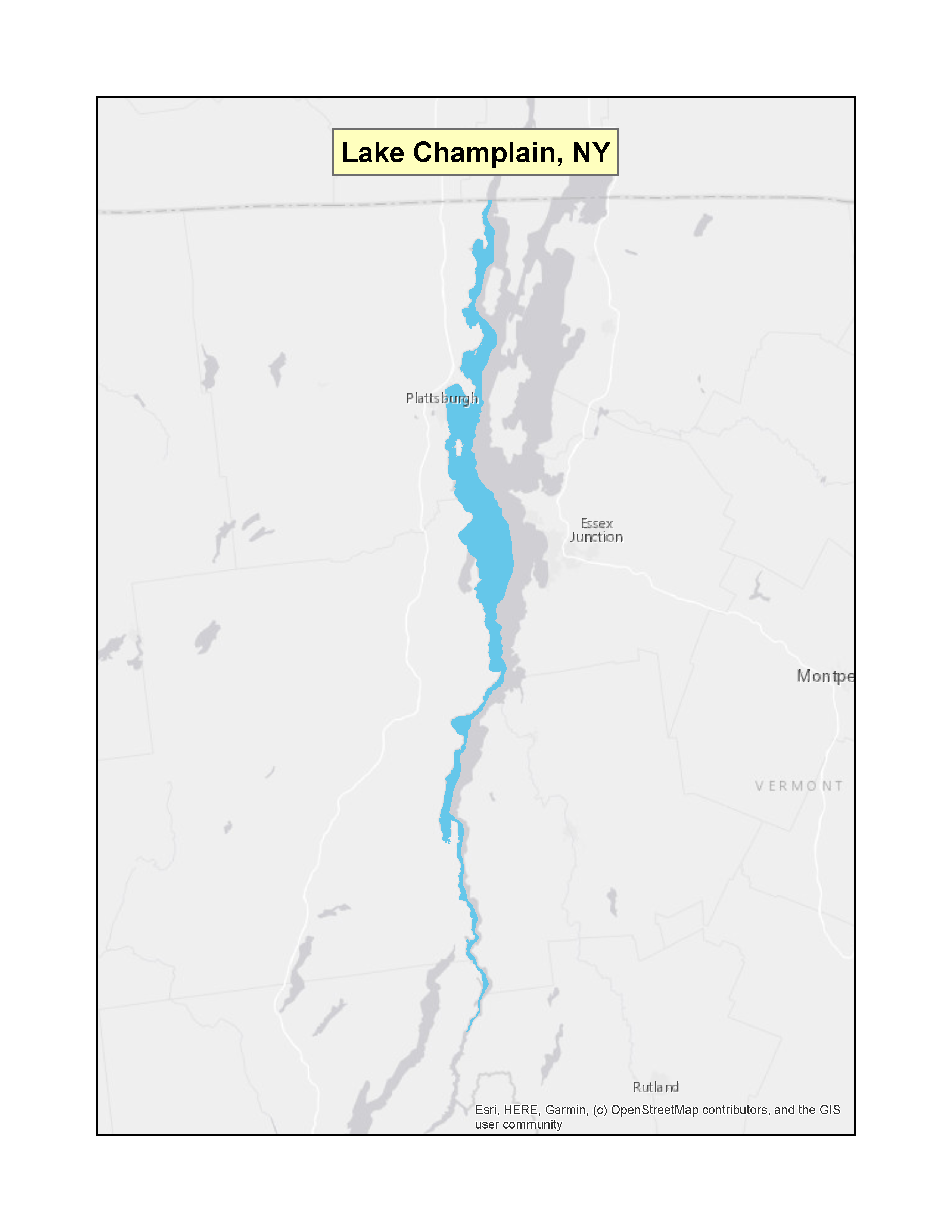 |
|
| New York | Hudson River (part) | (f)(4)(B) | 60 FR 63941 (PDF)Exit EPA’s website(5 pp, 168 K) | 12-13-1995 | 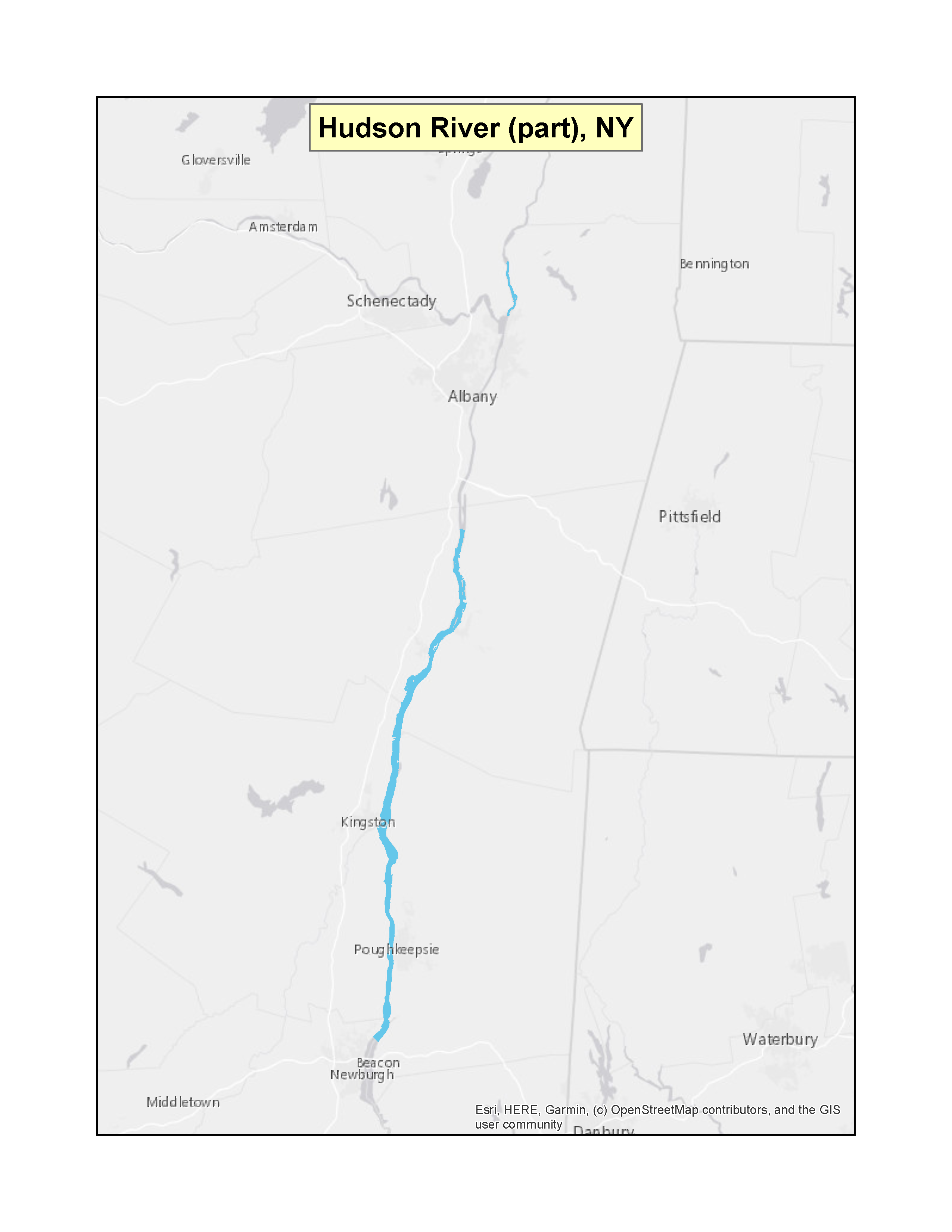 |
|
| New York | Mamaroneck Harbor | (f)(3) | 62 FR 61820 (PDF)Exit EPA’s website(1 pp, 100 K) | 11-19-1997 | 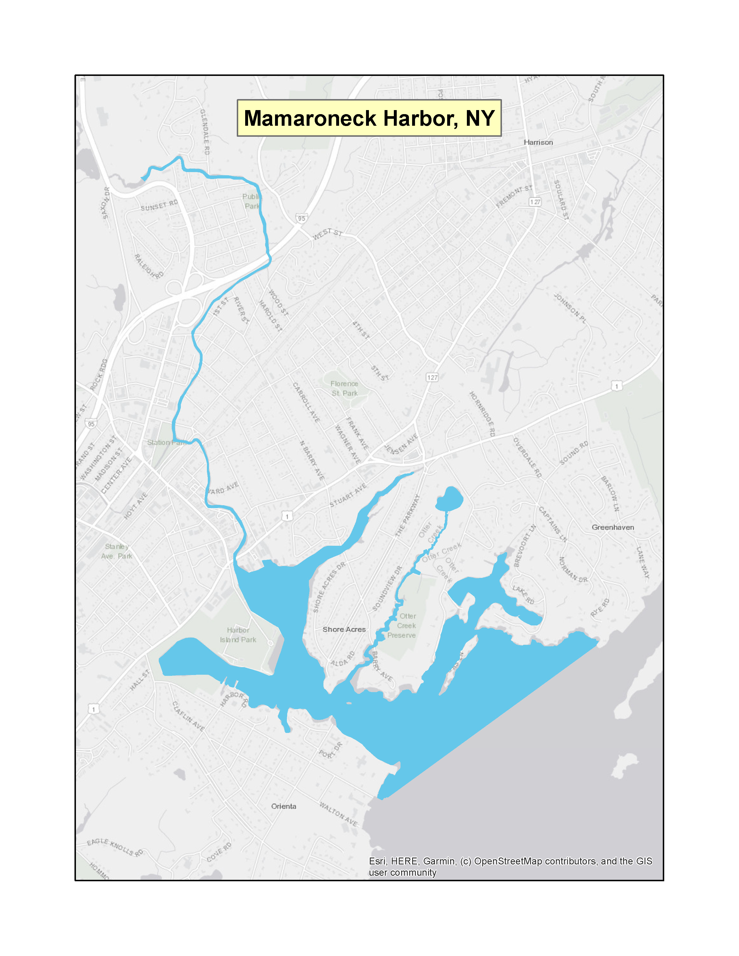 |
|
| New York | East Hampton (7 water bodies) | (f)(3) | 64 FR 7194 (PDF)Exit EPA’s website(3 pp, 155 K) | 02-12-1999 | 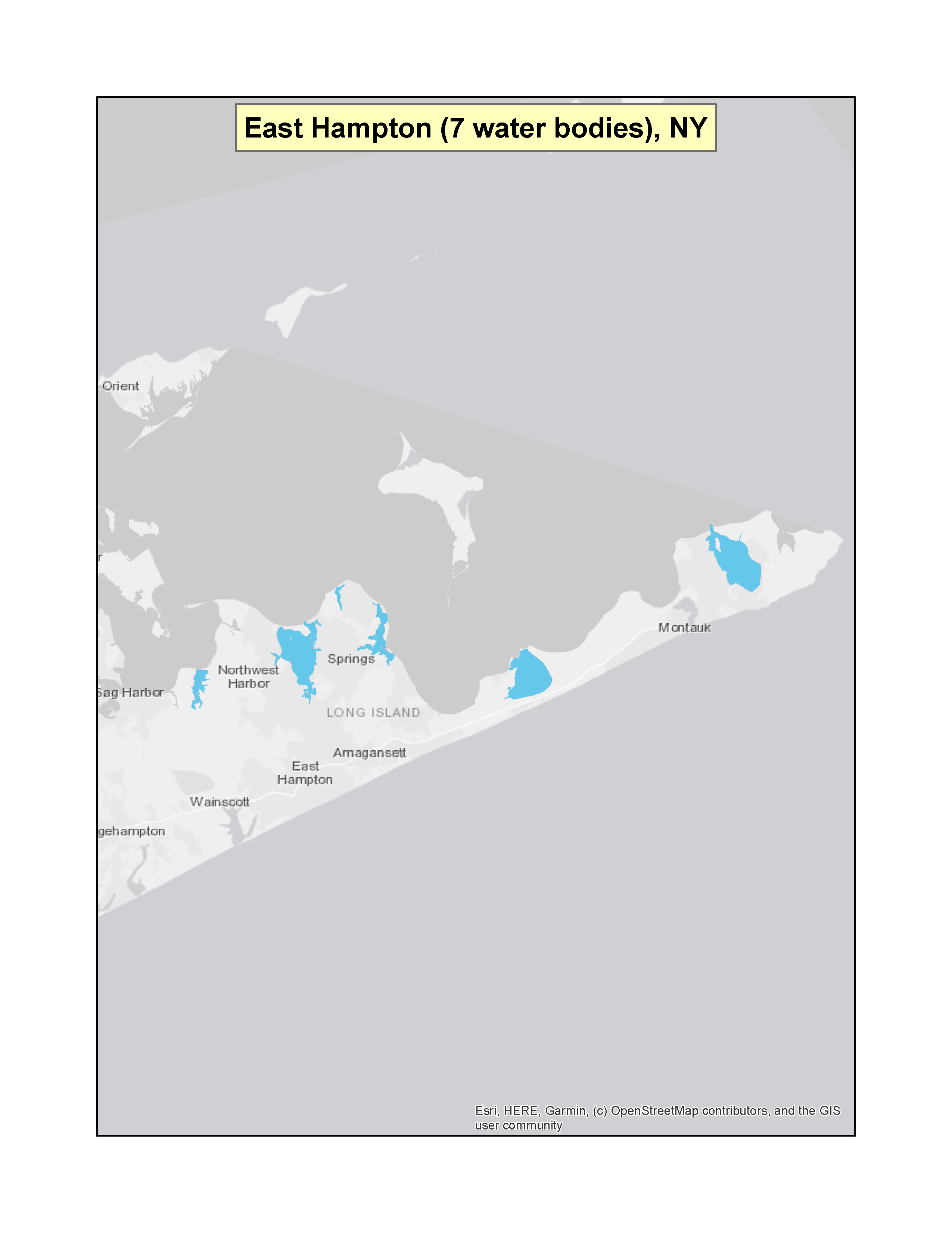 |
|
| New York | Greater Huntington-North Port Bay Complex | (f)(3) | 65 FR 37385 (PDF)Exit EPA’s website(2 pp, 246 K,) | 06-14-2000 | 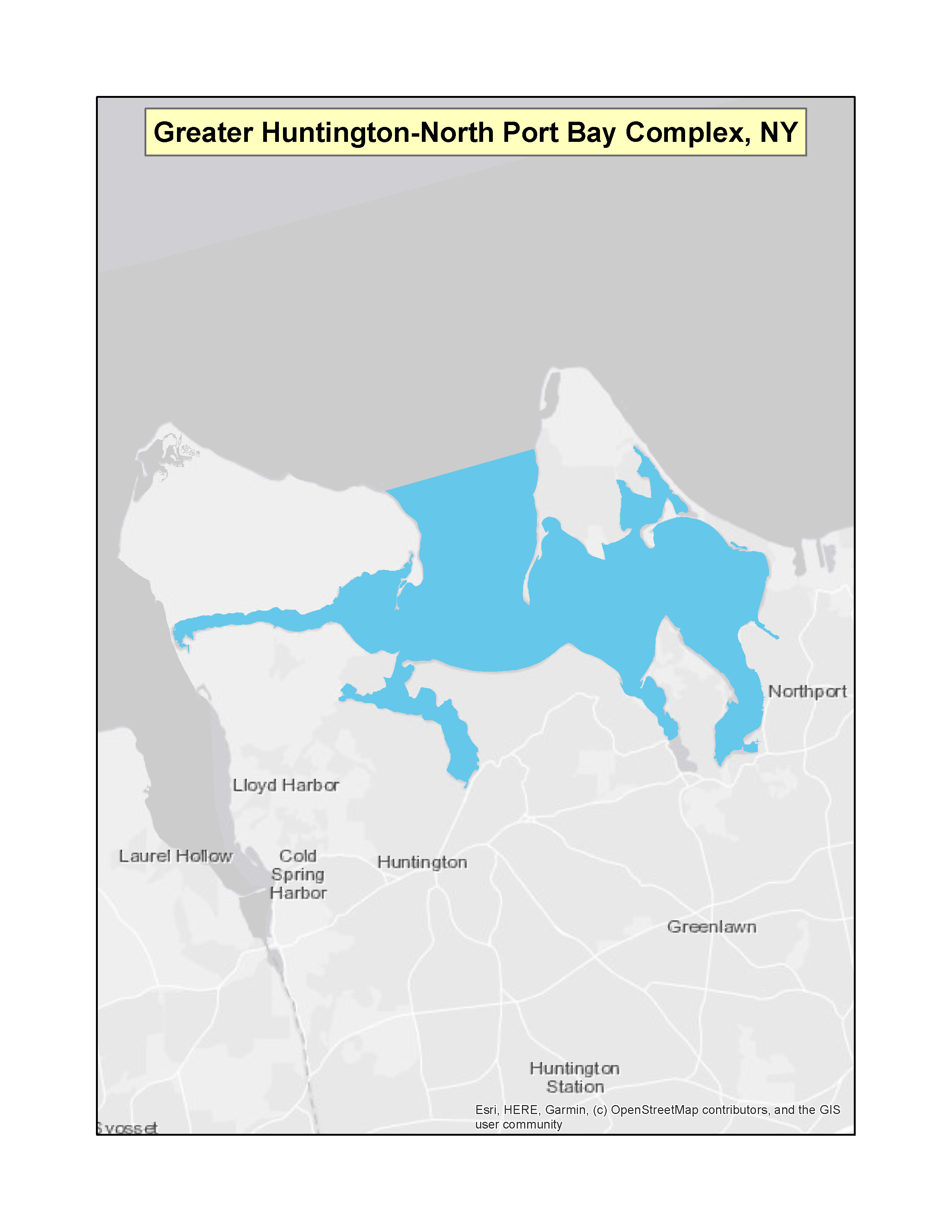 |
|
| New York | Port Jefferson Harbor Complex | (f)(3) | 66 FR 51954 (PDF)Exit EPA’s website(2 pp, 162 K) | 10-11-2001 | 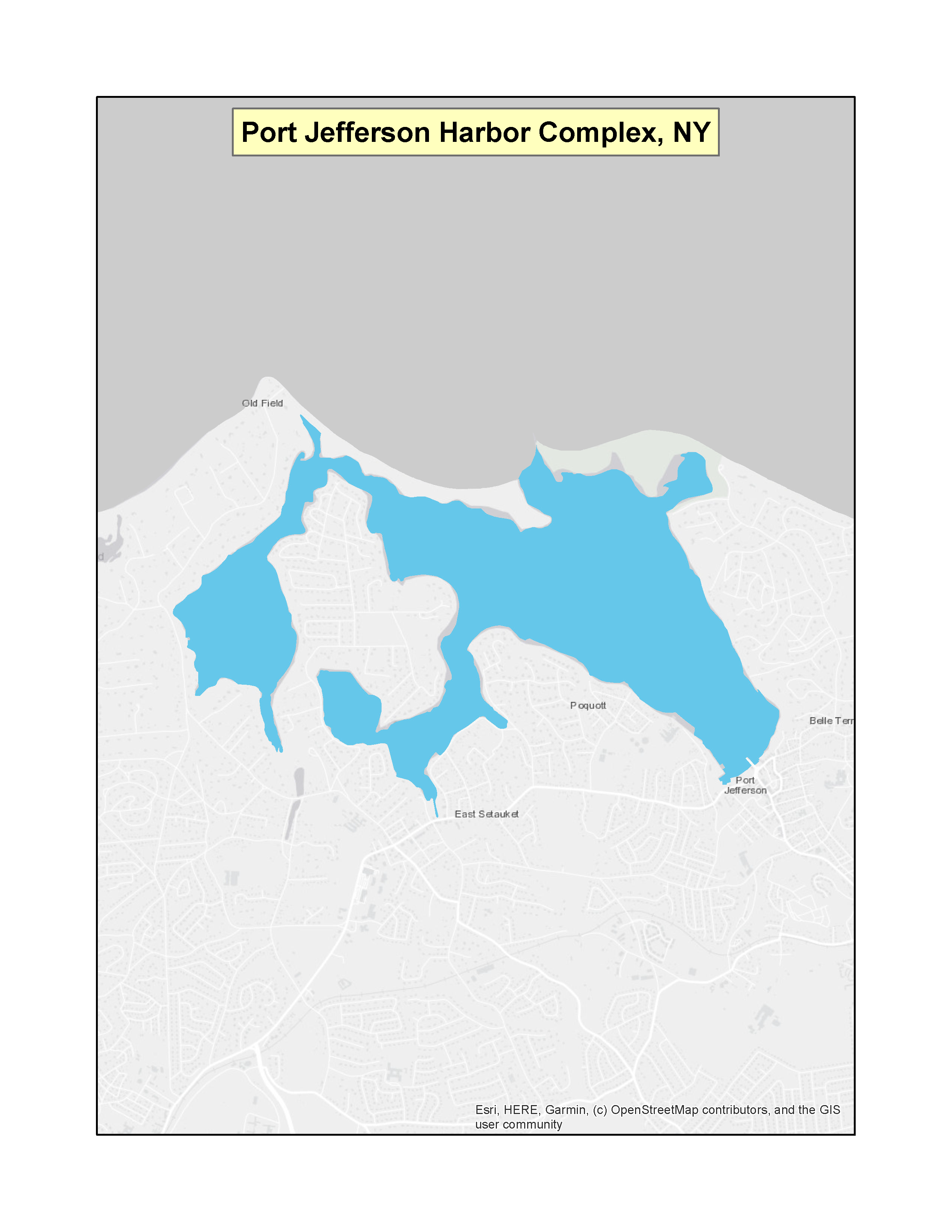 |
|
| New York | Peconic Estuary | (f)(3) | 67 FR 39720 (PDF)Exit EPA’s website(3 pp, 169 K) | 06-10-2002 | 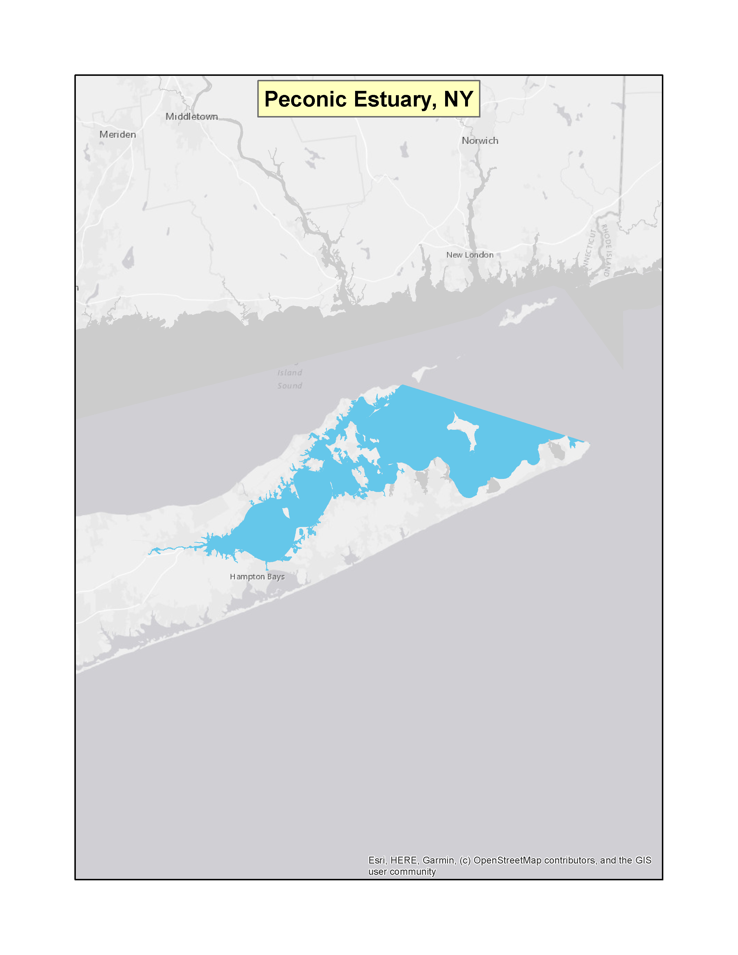 |
|
| New York | Parts of Hudson River | (f)(3) | 68 FR 58345 (PDF)Exit EPA’s website(2 pp, 69 K) | 10-09-2003 | 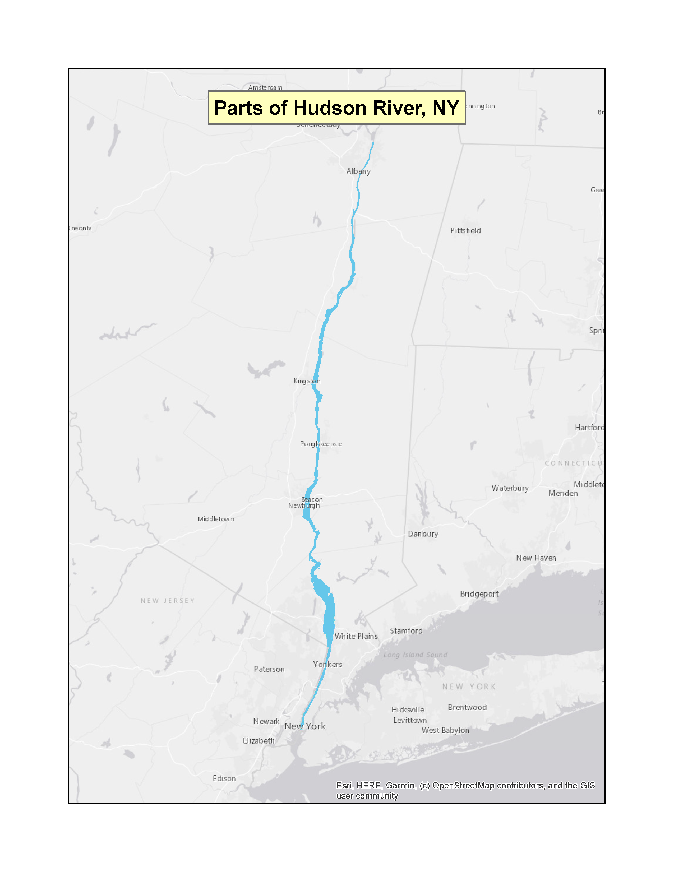 |
|
| New York | Hempstead Harbor | (f)(3) | 73 FR 66041 (PDF)Exit EPA’s website(2 pp, 68 K) | 11-06-2008 | 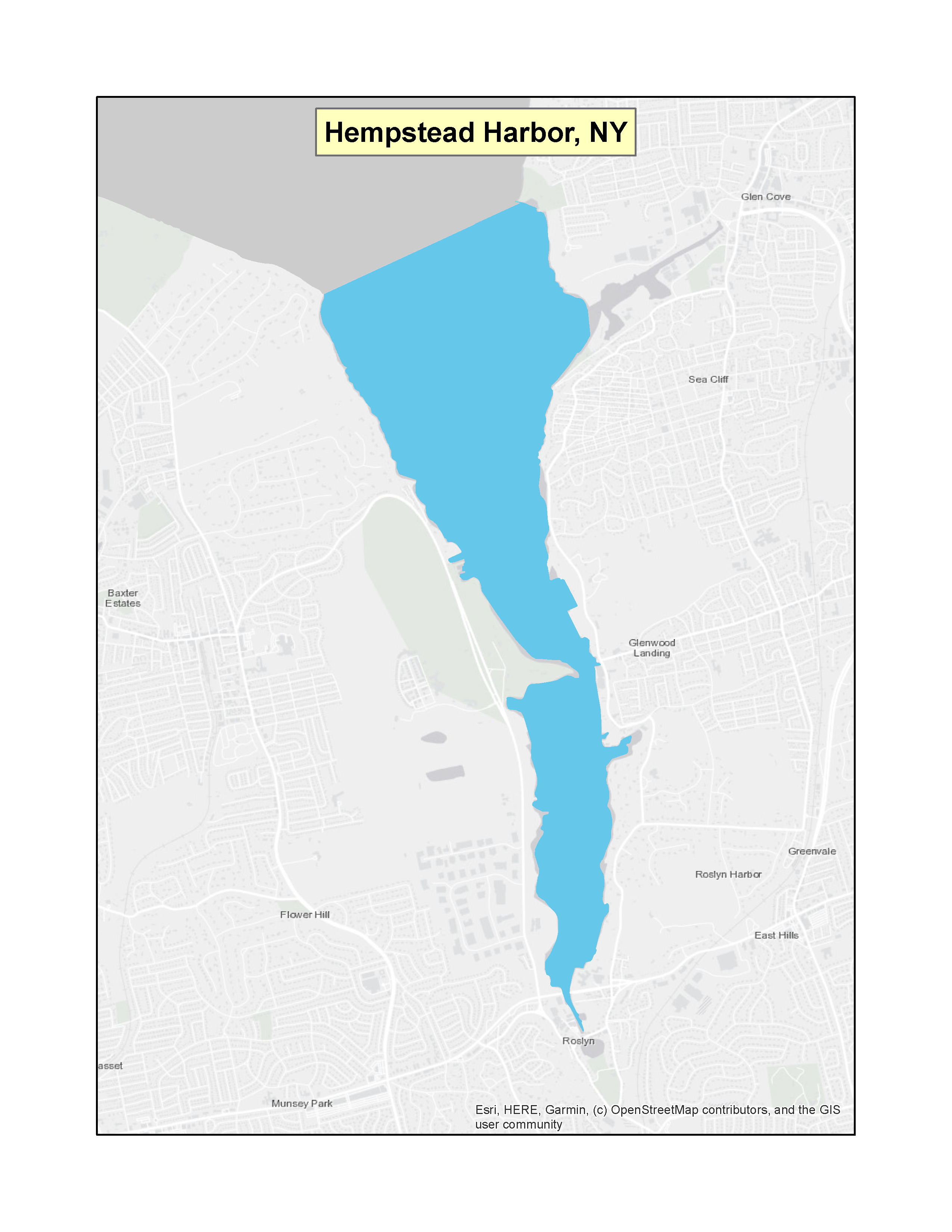 |
|
| New York | Oyster Bay/Cold Spring Harbor Complex | (f)(3) | 73 FR 66042 (PDF)Exit EPA’s website(2 pp, 175 K) | 11-06-2008 | 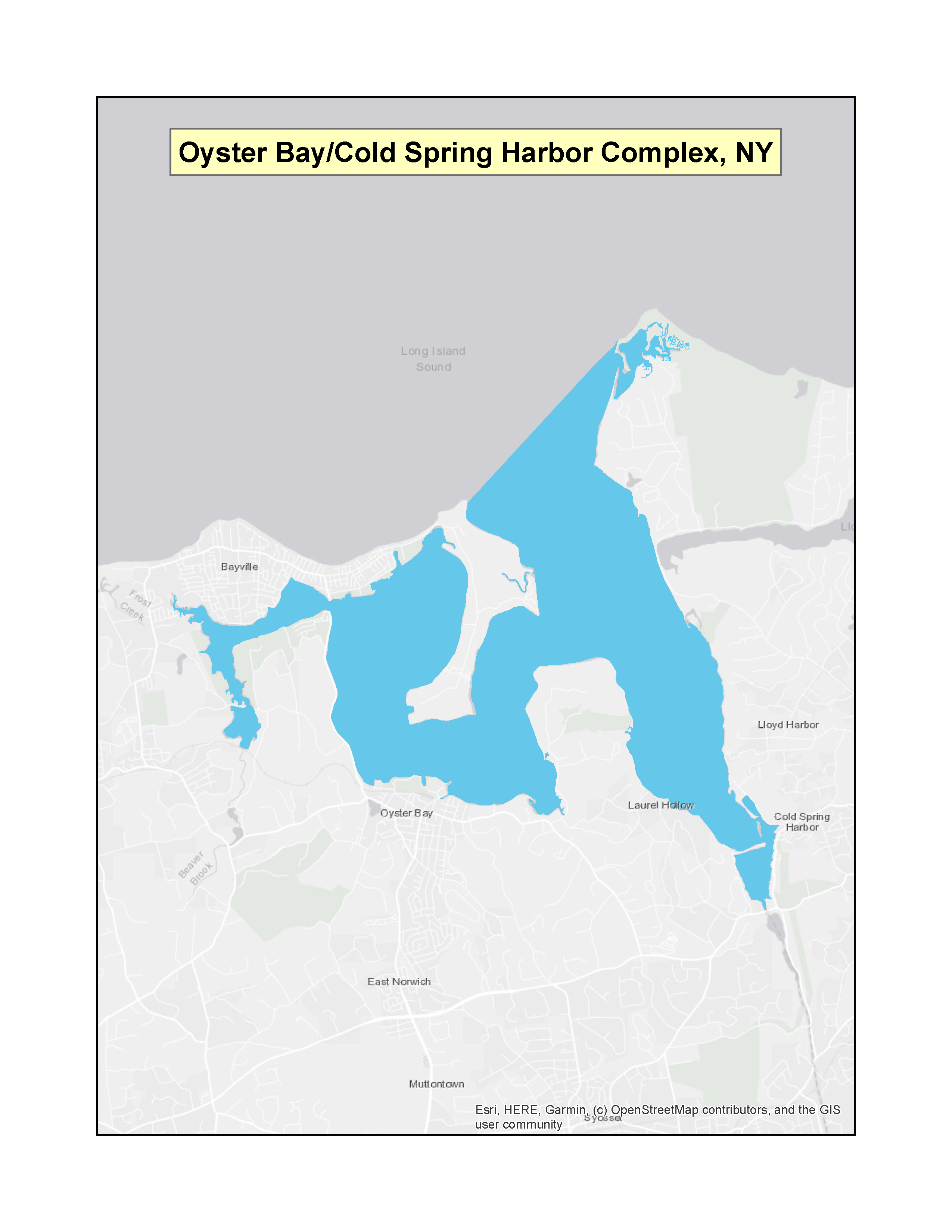 |
|
| New York | South Shore Estuary Reserve (SSER) | (f)(3) | 74 FR 59177 (PDF)Exit EPA’s website(8 pp, 70 K) | 11-19-2009 | 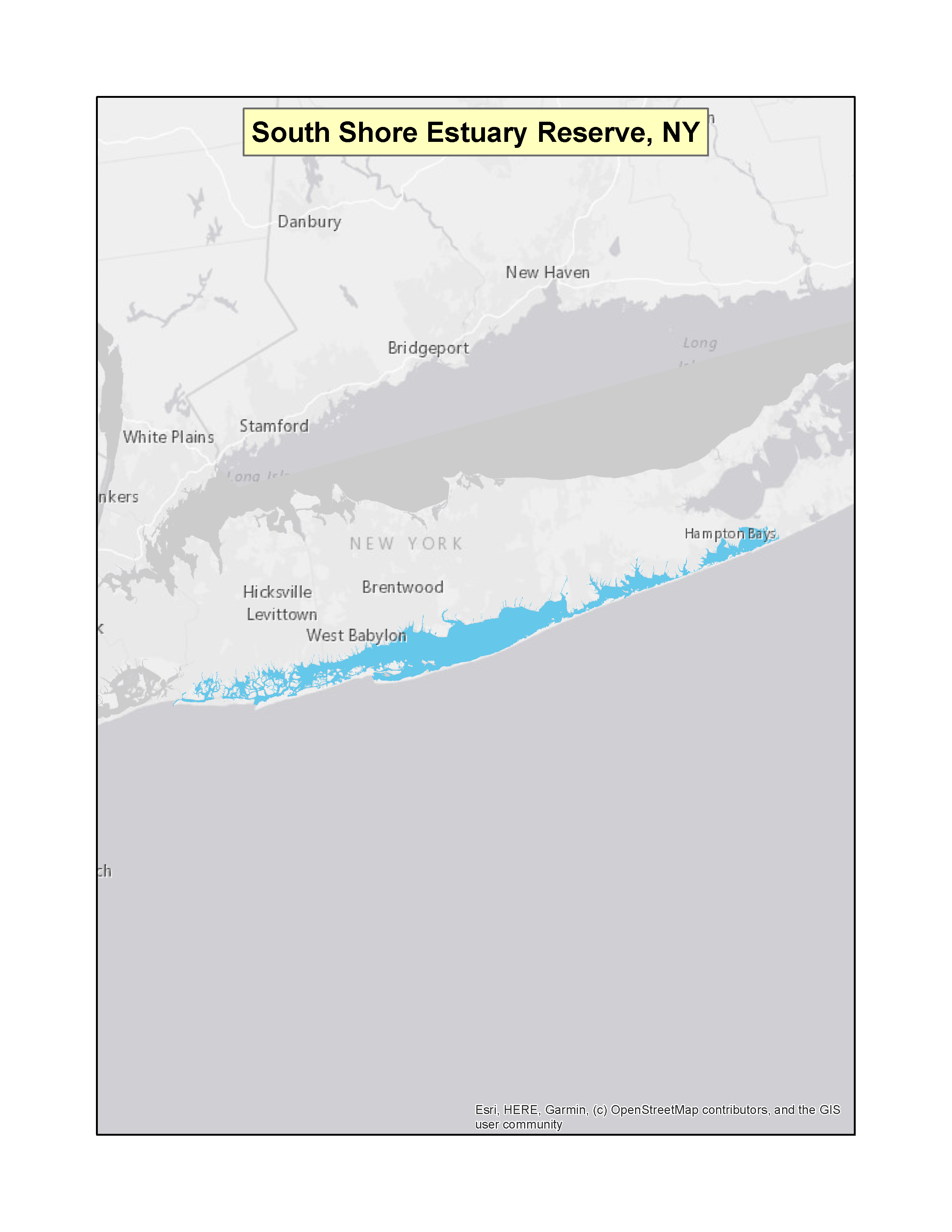 |
|
| New York | New York State Canal System | (f)(3) | 75 FR 29757 (PDF)Exit EPA’s website(3 pp, 151 K) | 05-27-2010 | 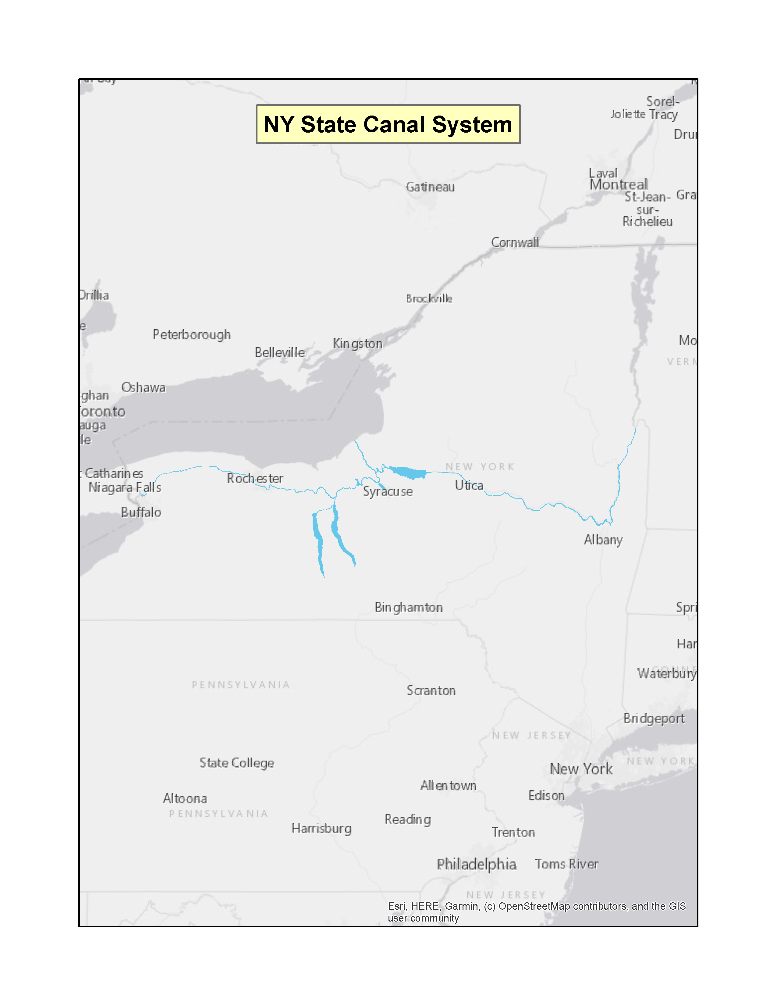 |
|
| New York | Long Island Sound | (f)(3) | 76 FR 55668 (PDF)Exit EPA’s website(6 pp, 162 K) | 09-08-2011 | 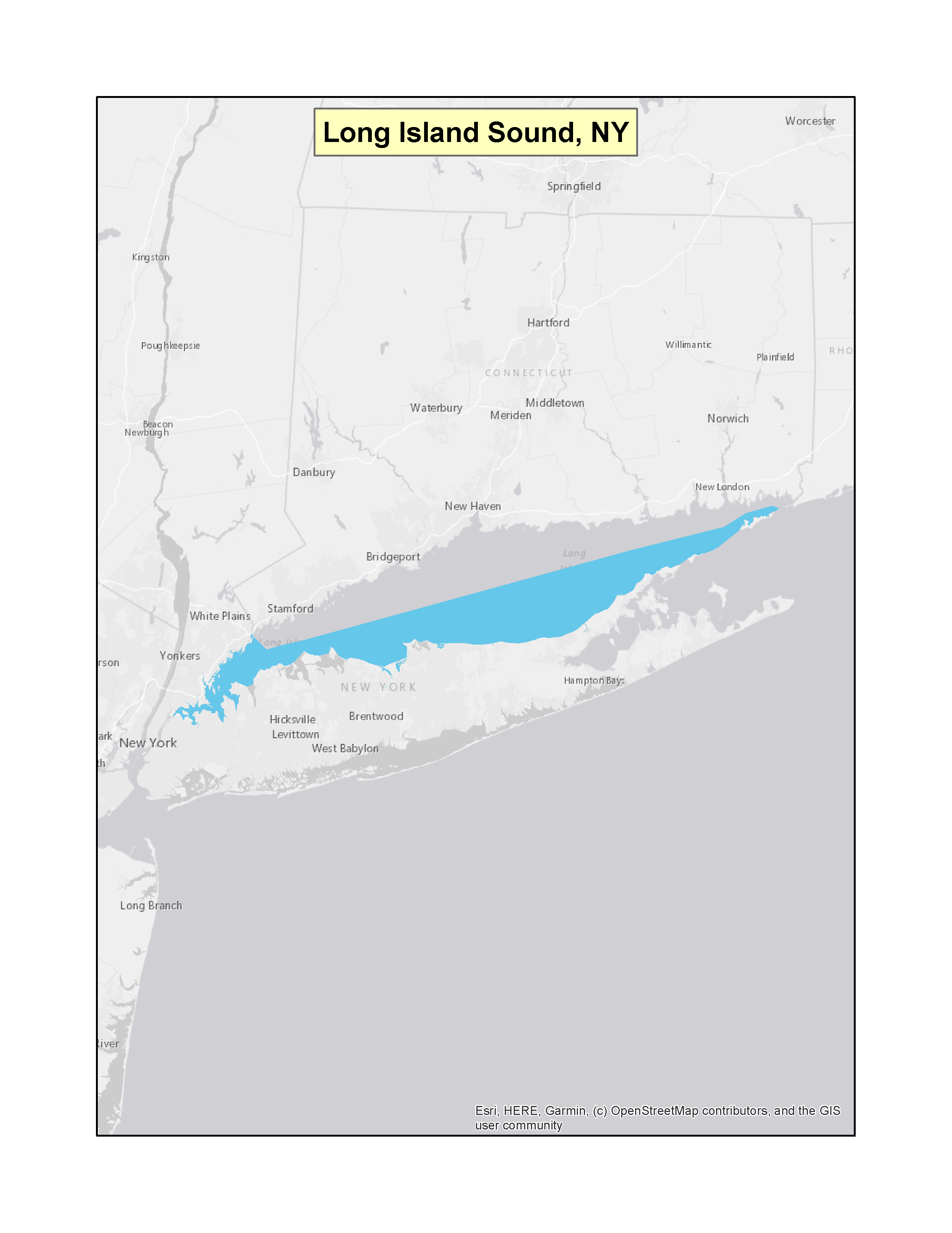 |
|
| New York | Jamaica Bay | (f)(3) | 76 FR 66927 (PDF)Exit EPA’s website(3 pp, 152 K) | 10-28-2011 | 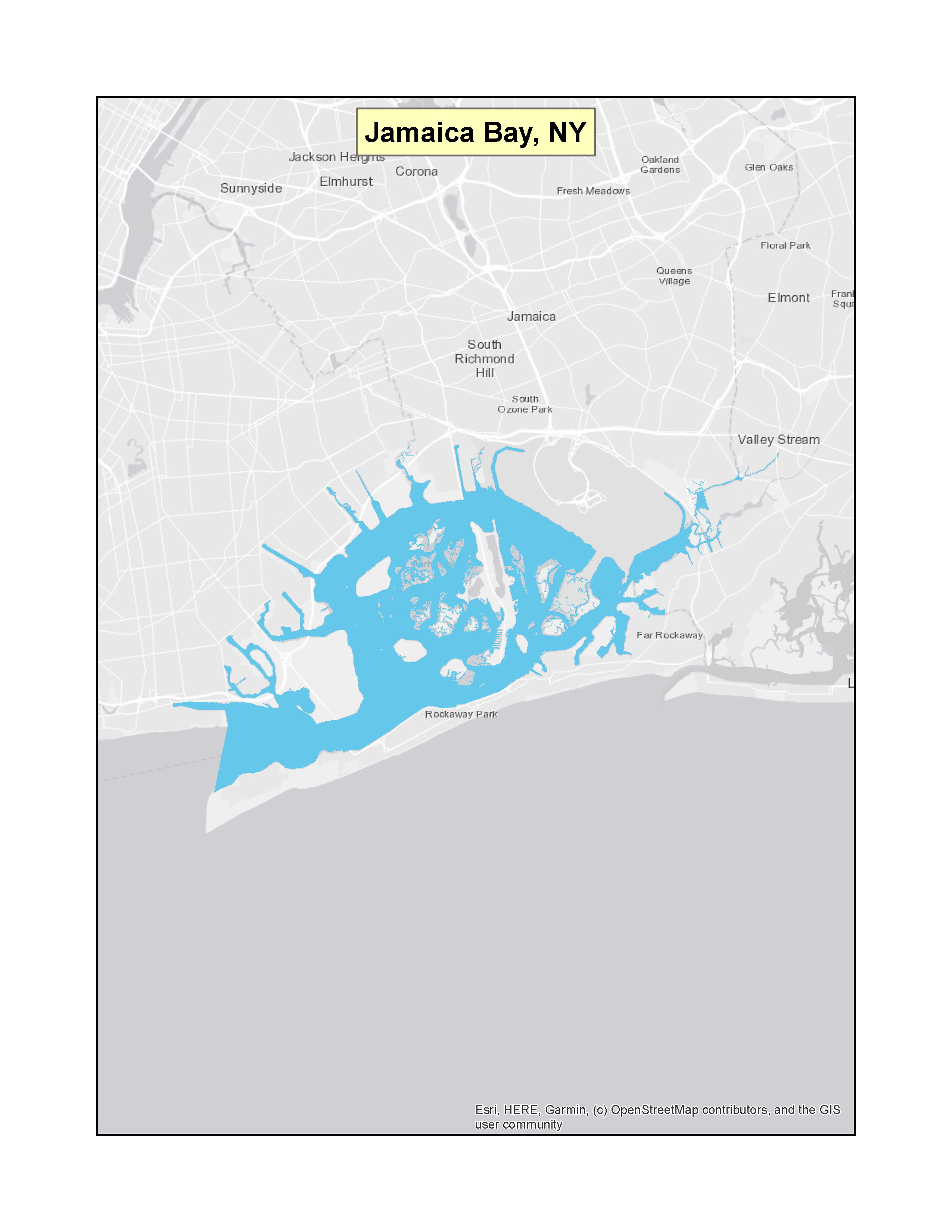 |
|
| New York | Lake Ontario | (f)(3) | 76 FR 78253Exit EPA’s website(4 pp, 155 K) | 12-16-2011 | 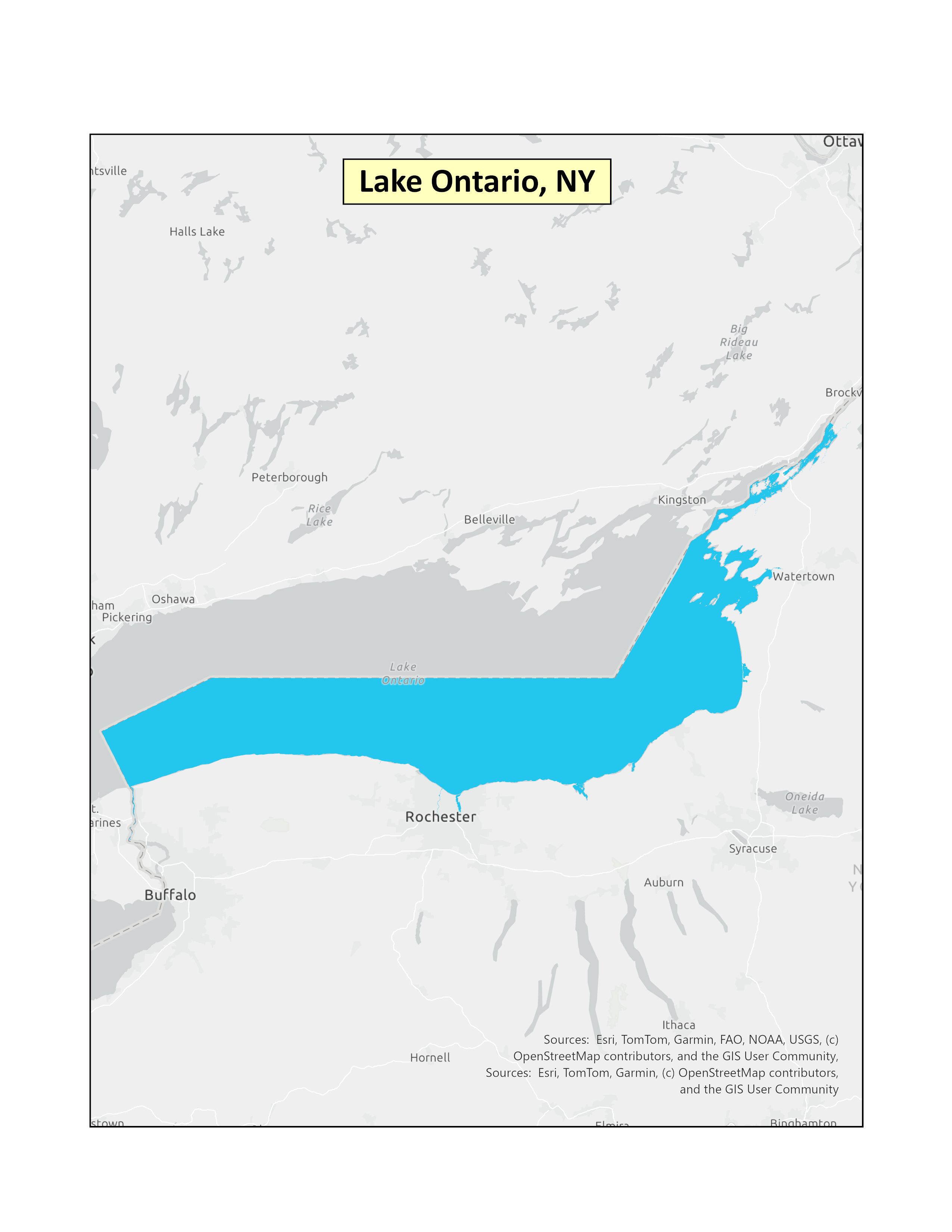 |
|
| New York | NY State area of Lake Erie | (f)(3) | 79 FR 35347 (PDF)Exit EPA’s website(5 pp, 207 K) | 06-20-2014 | 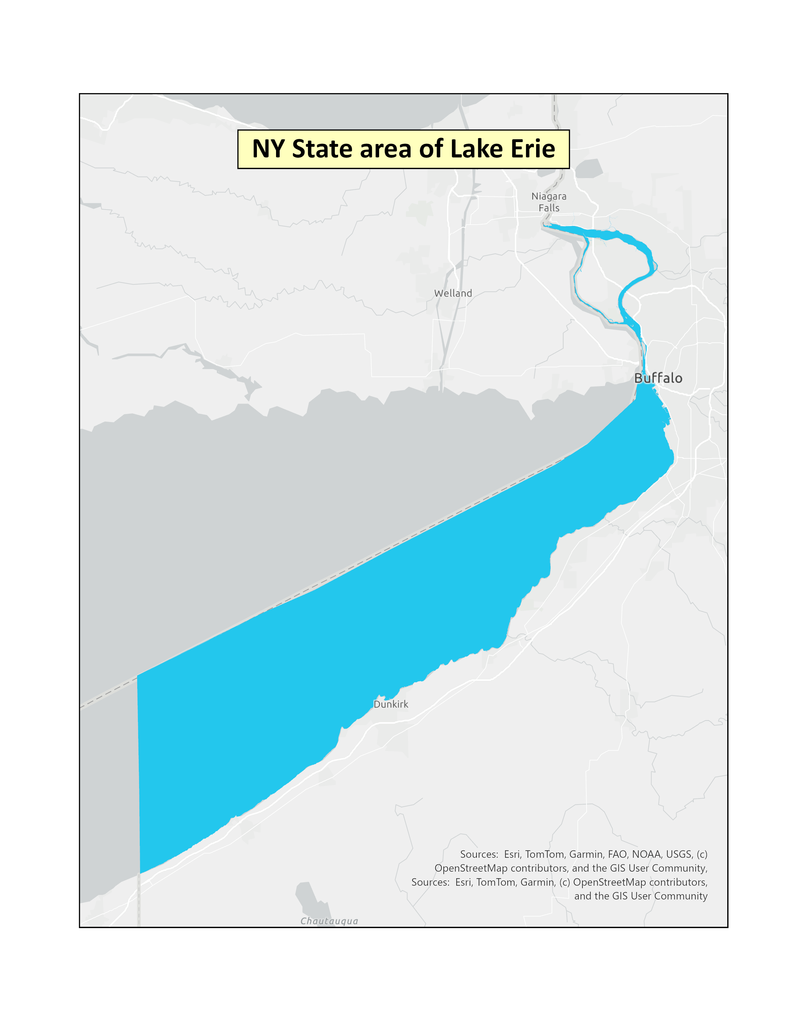 |
|
| New York | Seneca Lake, Cayuga Lake and the Seneca River | (f)(3) | 80 FR 54281 (PDF)Exit EPA’s website(3 pp, 196 K) | 09-09-2015 | 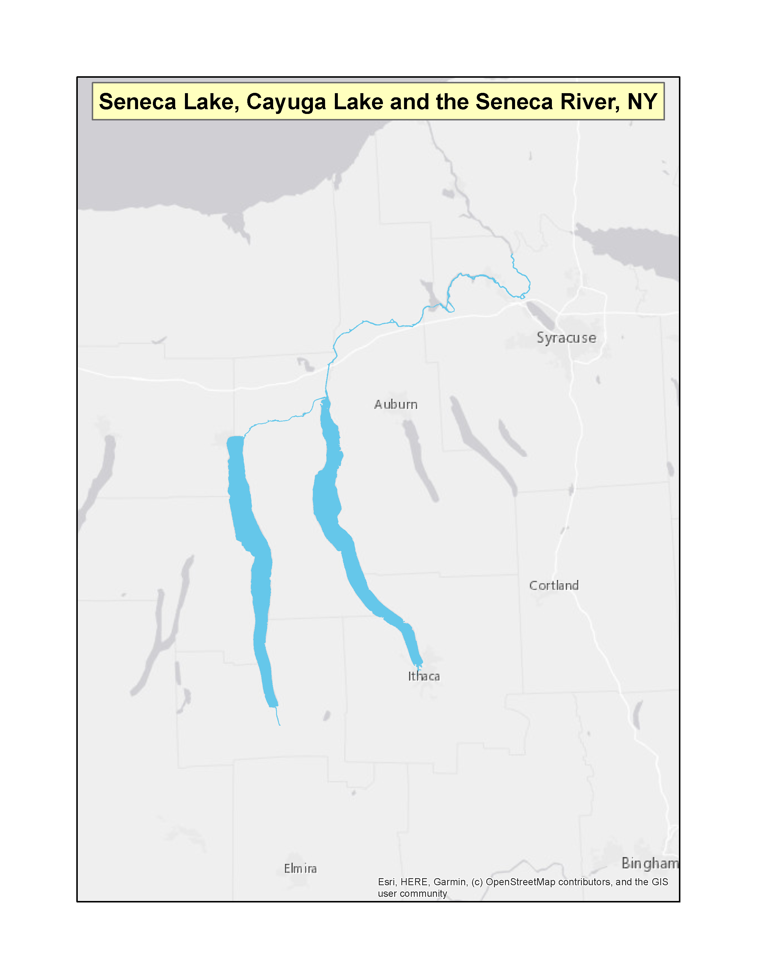 |
|
| North CarolinaExit EPA’s website | New Hanover County | (f)(3) | 75 FR 7590 (PDF)Exit EPA’s website(2 pp, 148 K) | 02-22-2010 | 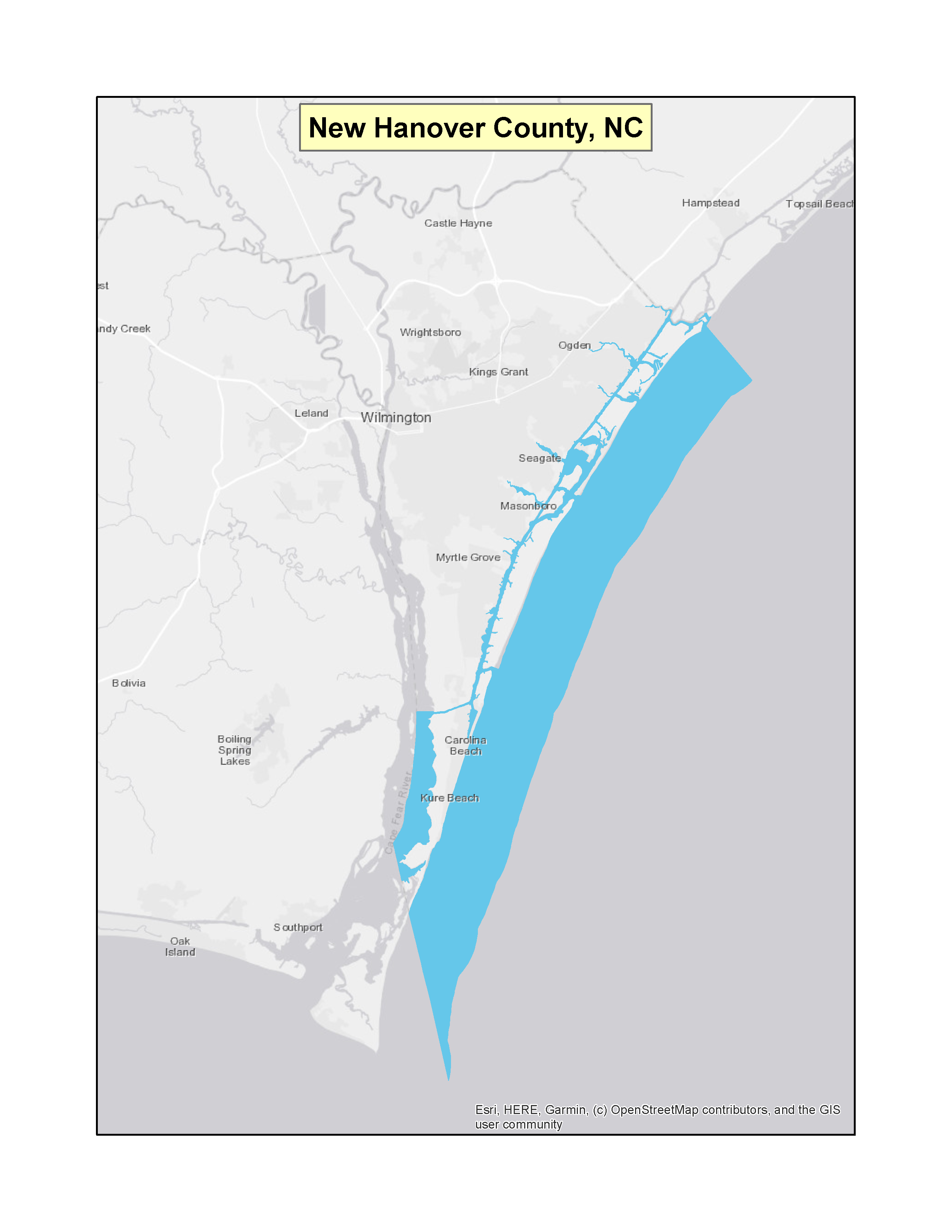 |
|
| North Carolina | Brunswick and Pender Counties and the Saline Waters of the Cape Fear River in Brunswick and New Hanover Counties | (f)(3) | 76 FR 18548 (PDF)Exit EPA’s website(2 pp, 145 K) | 04-04-2011 | 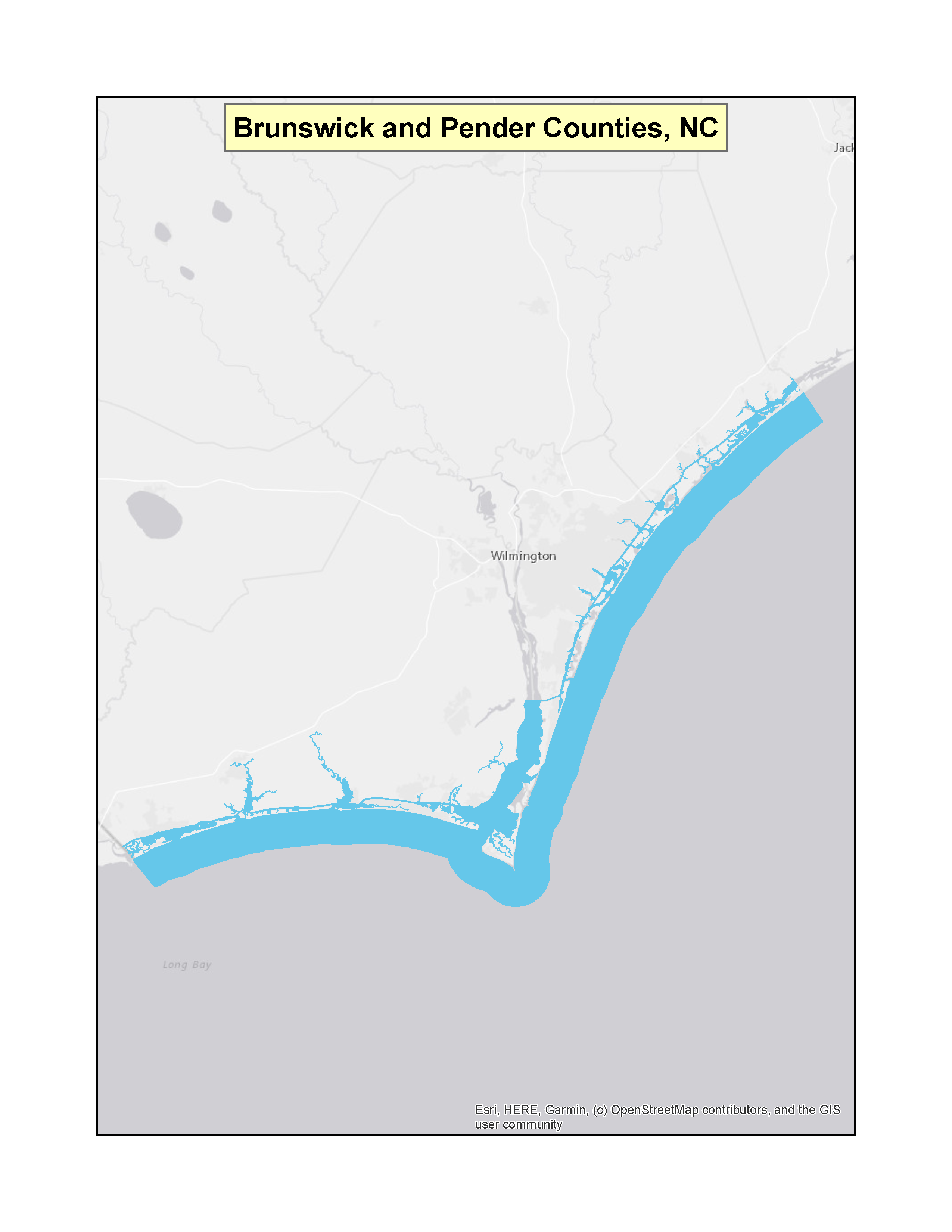 |
|
| Rhode IslandExit EPA’s website | Great Salt Pond, Block Island | (f)(3) | 58 FR 31202 (PDF) (1 pp, 37 K) | 06-01-1993 | 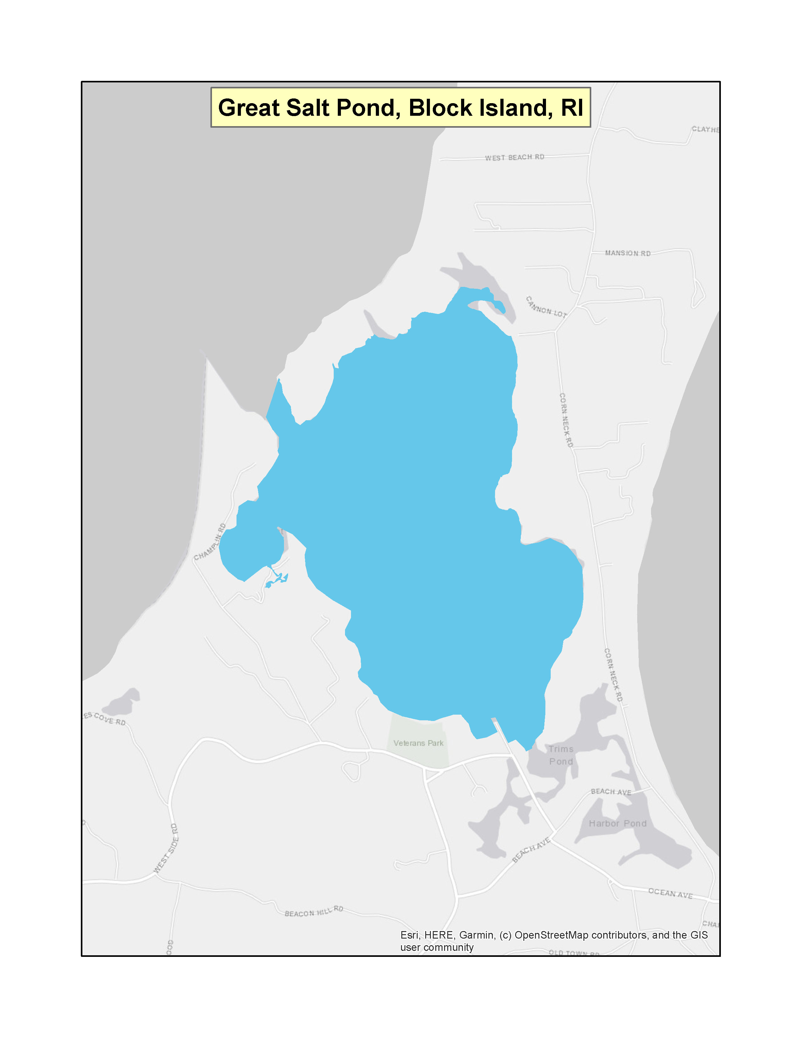 |
|
| Rhode Island | All within 3 mile territorial limit | (f)(3) | 63 FR 42633 (PDF)Exit EPA’s website(2 pp, 150 K) | 08-10-1998 | 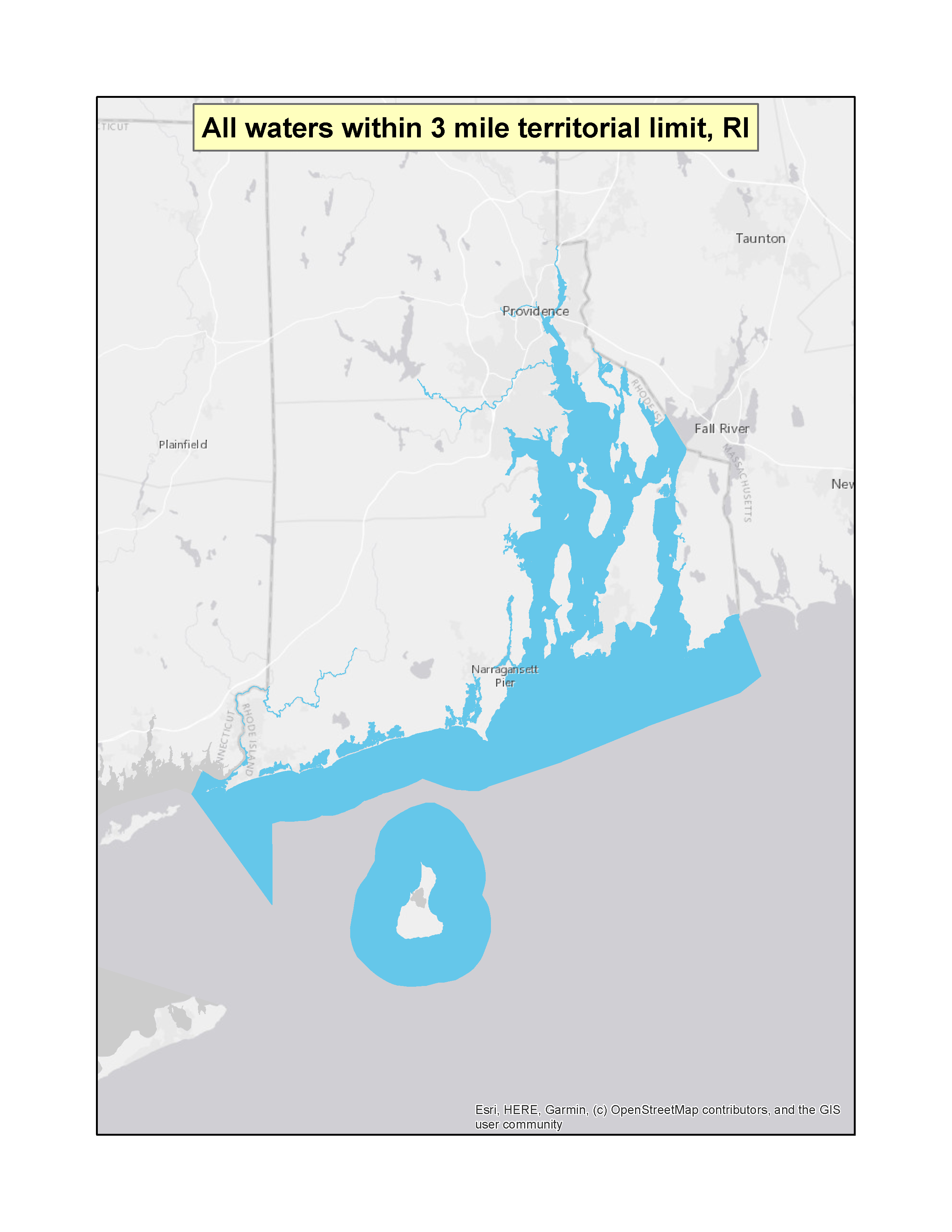 |
|
| TexasExit EPA’s website | 24 Freshwater bodies | (f)(3) | 42 FR 59776 (PDF) (3 pp, 37 K) | 11-21-1977 | 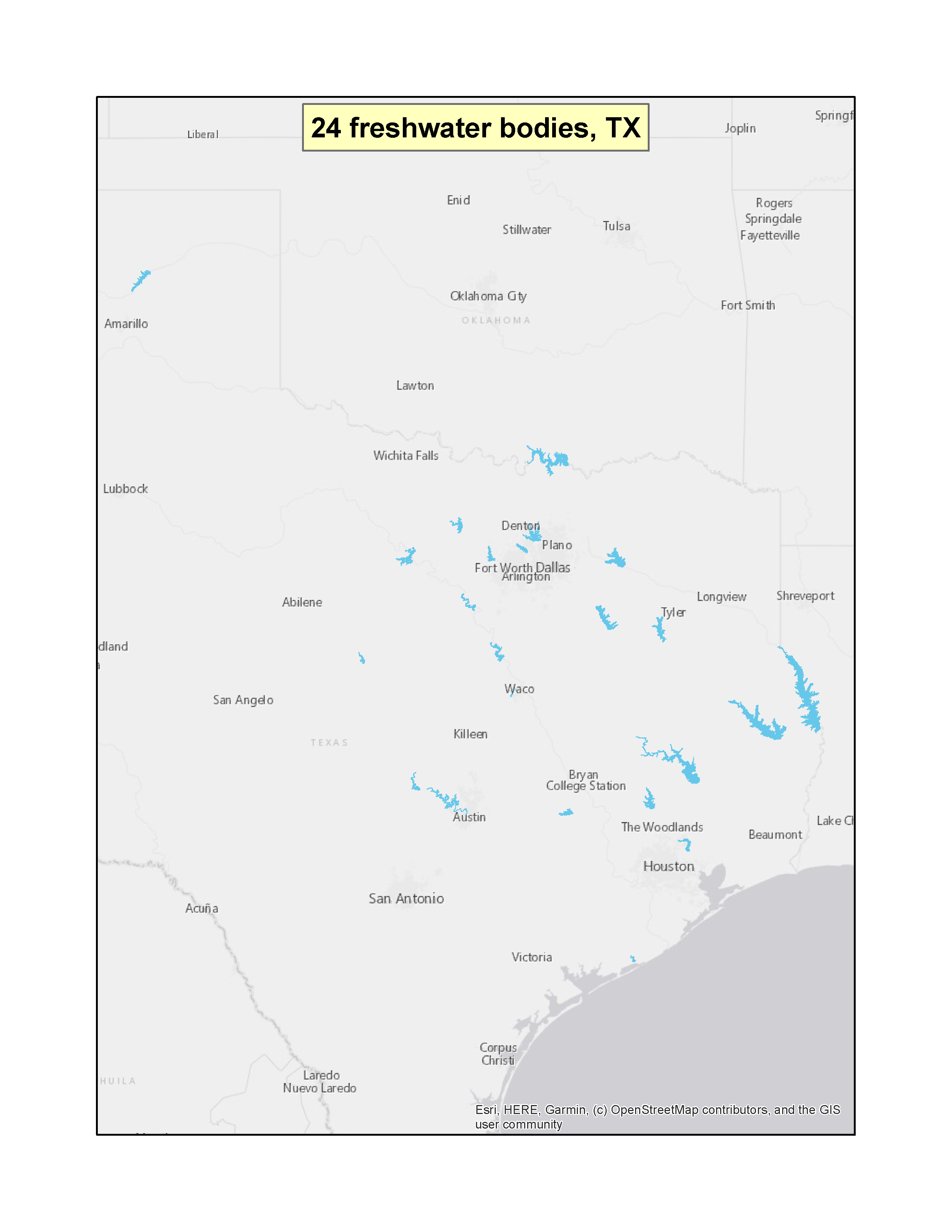 |
|
| Texas | Clear Lake | (f)(3) | Clear Lake (PDF) (1 pp, 51 K) | 02-06-1995 |  |
|
| Vermont | All (including parts of Lake Champlain and Lake Memphremagog) | (f)(3) | 40 FR 42240 (PDF)(1 pp, 32 K) | 09-11-1975 | 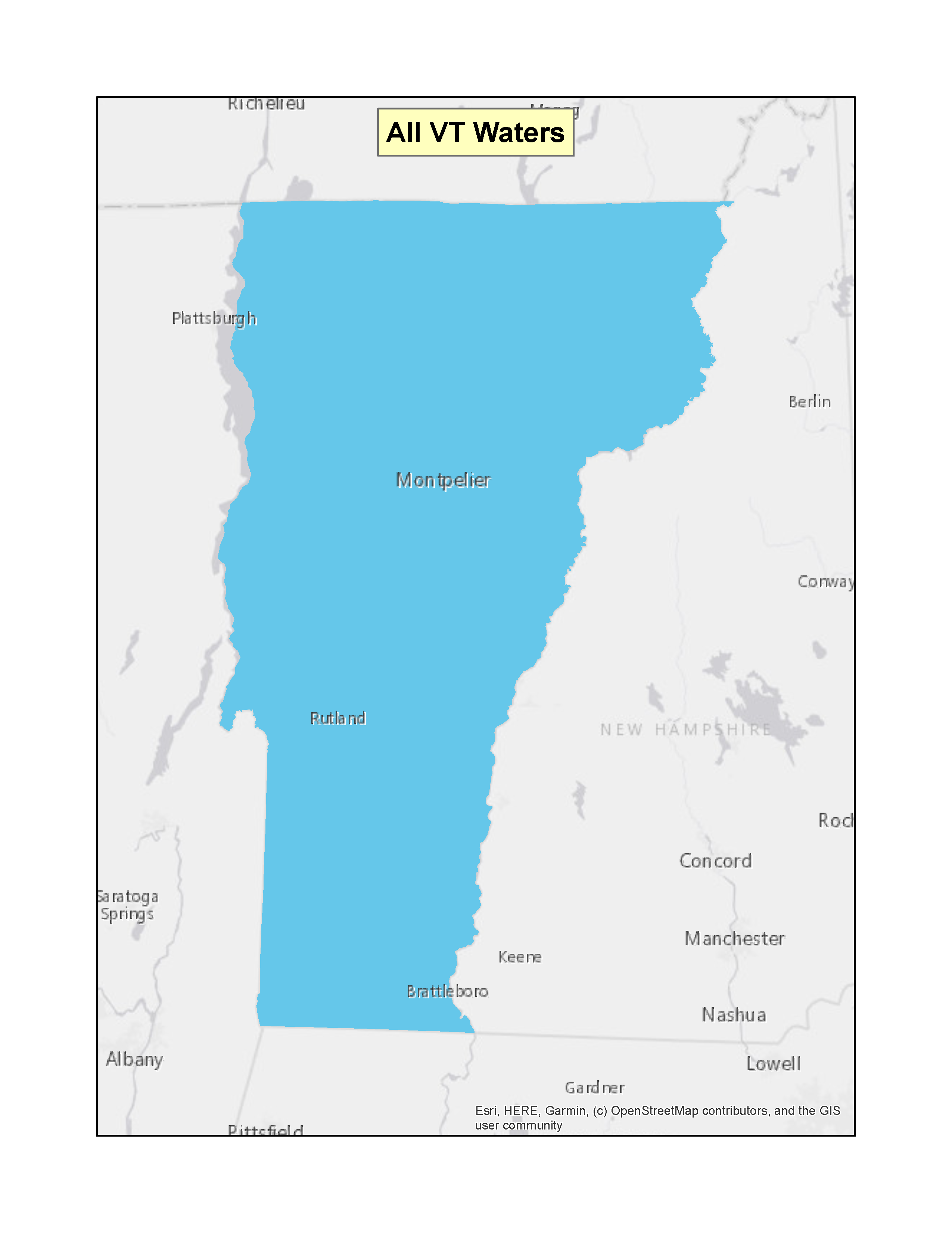 |
|
| VirginiaExit EPA’s website | Sarah Creek and Perrin River | (f)(3) | 85 FR 59796 (PDF)Exit EPA’s website(2 pp, 244 K) 86 FR 25856 (PDF) Exit EPA’s website(5 pp, 259 K) Note: correction to geographic coordinate for Perrin River | 09-23-2020 05-11-2021* | 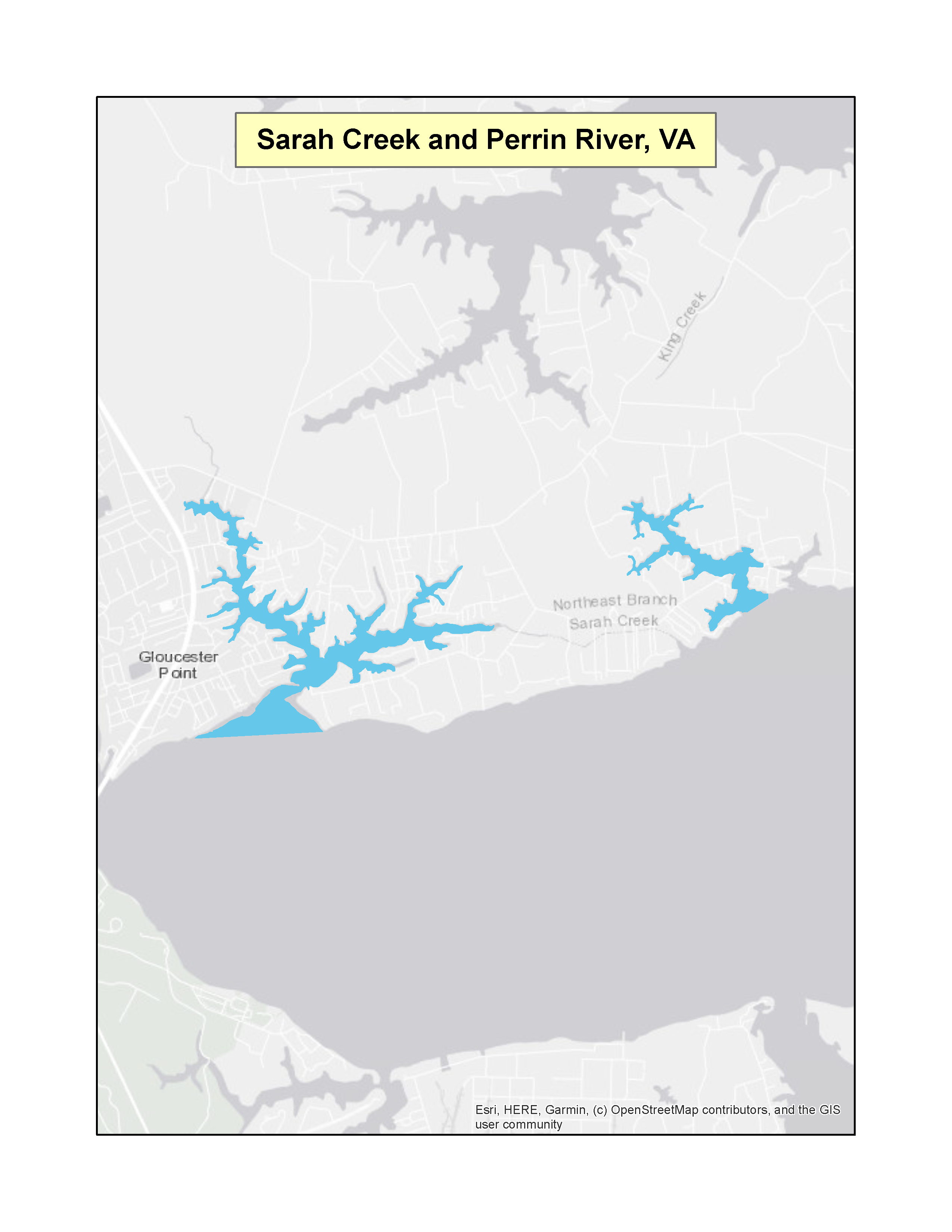 |
|
| Virginia | Smith Mountain Lake | (f)(3) | 65 FR 61166 (PDF)Exit EPA’s website(3 pp, 250 K) | 10-16-2000 | 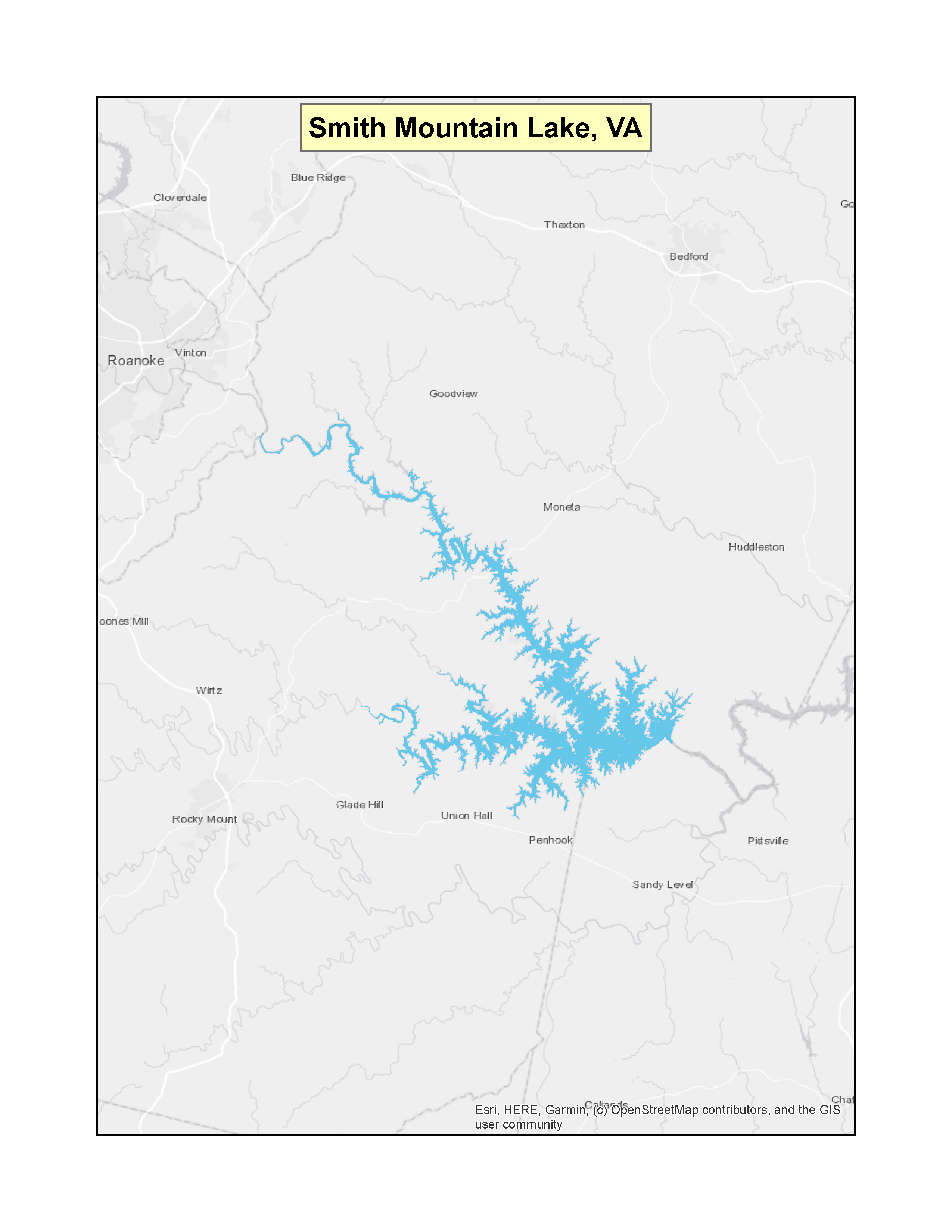 |
|
| Virginia | Lynnhaven River | (f)(3) | 72 FR 7875 (PDF)Exit EPA’s website(2 pp, 176 K) | 02-21-2007 | 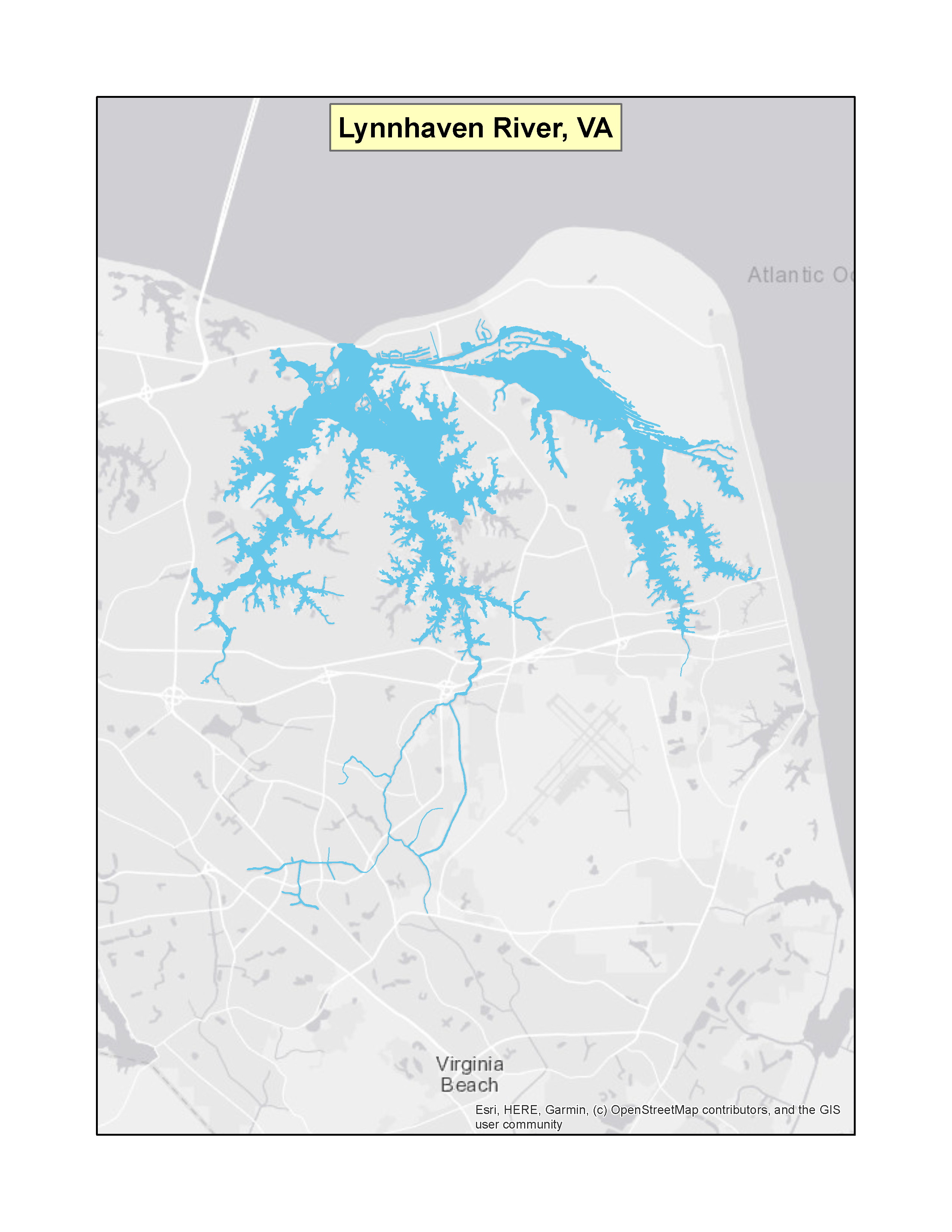 |
|
| Virginia | Broad Creek, Jackson Creek and Fishing Bay | (f)(3) | 74 FR 42070 (PDF)Exit EPA’s website(4 pp, 176 K) | 08-20-2009 | 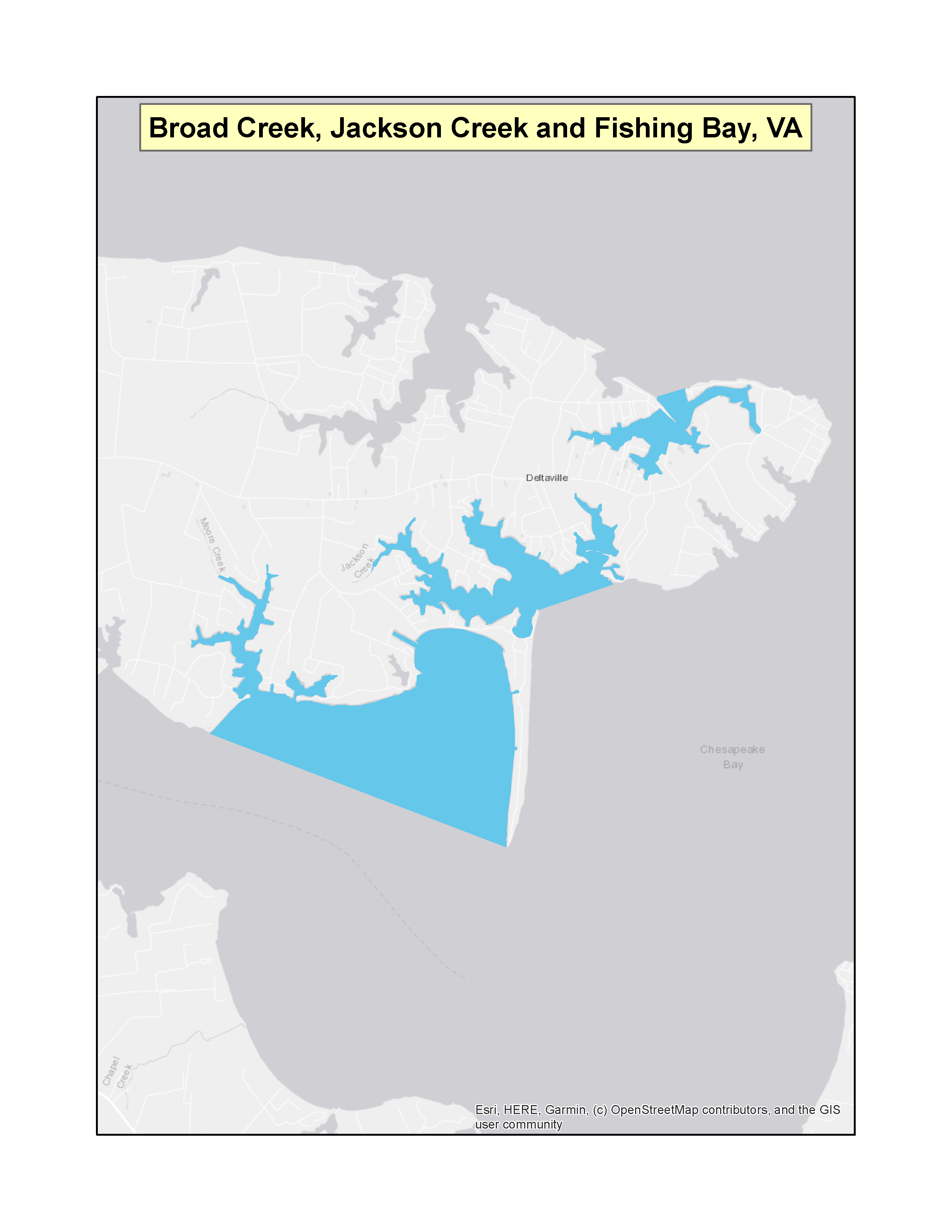 |
|
| Virginia | Waterbodies in the Northern Neck Peninsula in the counties of Richmond, Lancaster, Northumberland, and Westmoreland | (f)(3) | 91 FR 24863 (PDF)Exit EPA’s website (3 pp, 212 K) | 05-07-2026 | |
| WashingtonExit EPA’s website | All marine waters inward from the line between New Dungeness Lighthouse and the Discovery Island Lighthouse to the Canadian border, and fresh waters of Lake Washington, Lake Union and connecting waters between and to Puget Sound | (f)(3) | 82 FR 11218 (PDF)Exit EPA’s website (4 pp, 203 K) | 02-21-2017 | 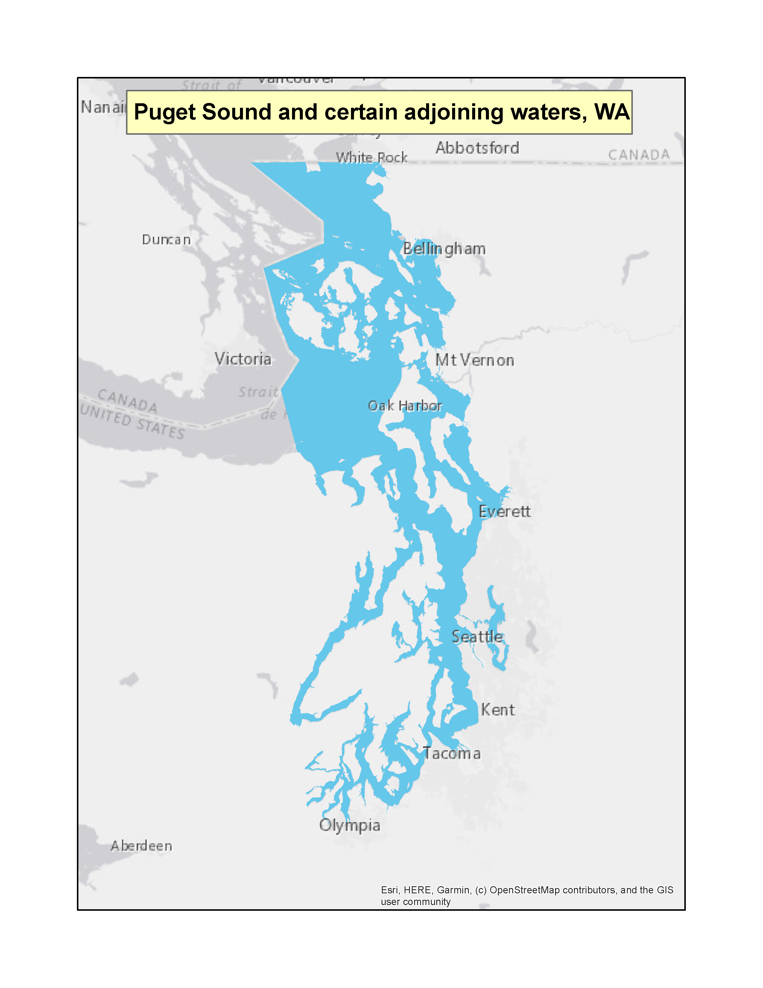 |
|
| Wisconsin | All (except Lake Superior, Mississippi River, part St. Croix River) | (f)(3) | 41 FR 11875 (PDF) (1 pp, 32 K) | 03-22-1976 |  |
|
States with Shared No-Discharge Zones Designations for a Specific Waterbody
| State | Waterbody | Designation
Type | Federal Register Notice | Date | Map |
| --- | --- | --- | --- | --- | --- |
| California / Nevada | Lake Tahoe – portions in CA and NV | (f)(3) | 42 FR 59105 (PDF)Exit EPA’s website(1 pp, 35 K) | 11-15-1977 | 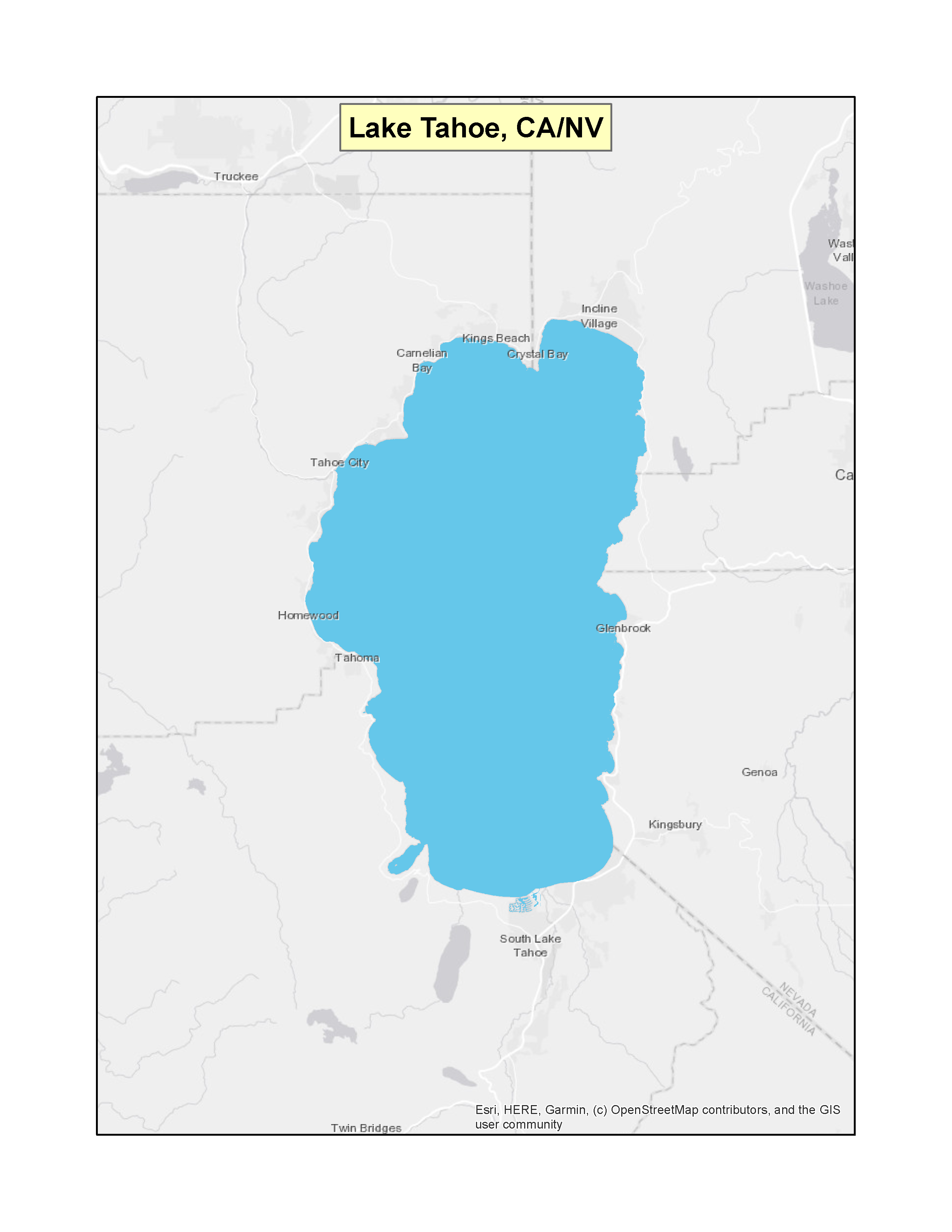 |
|
| KentuckyExit EPA’s website / Tennessee | Dale Hollow Lake – portions in KY and TN | (f)(3) | 71 FR 58393 (PDF)Exit EPA’s website(2 pp, 178 K) | 10-03-2006 | 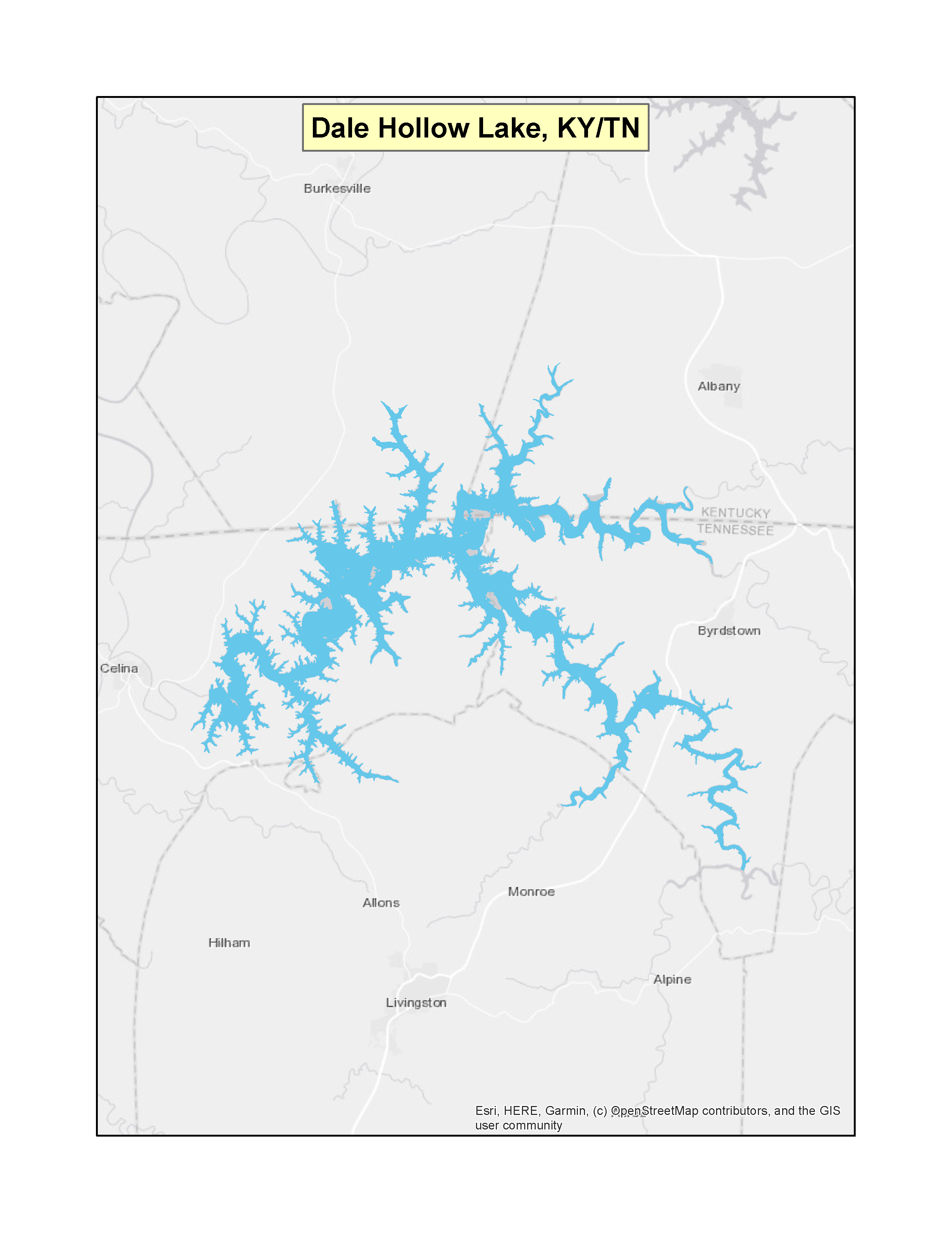 |
|
| Minnesota / Wisconsin | Saint Croix River – portions in MN and WI | (f)(3) | 61 FR 30868 (PDF)Exit EPA’s website(2 pp, 109 K) | 06-18-1996 |  |
|
| South CarolinaExit EPA’s website / North Carolina / Georgia | Broad Creek, Lake Keowee, Lake Murray, Lake Thurmond, and Lake Wylie – portions in SC, NC, and GA | (f)(3) | 64 FR 10465 (PDF)Exit EPA’s website(2 pp, 147 K) | 03-04-1999 |  |
|
| South Carolina / Georgia | Lake Hartwell – portions in SC and GA | (f)(3) | 62 FR 22943 (PDF)Exit EPA’s website(2 pp, 109 K) | 04-28-1997 | 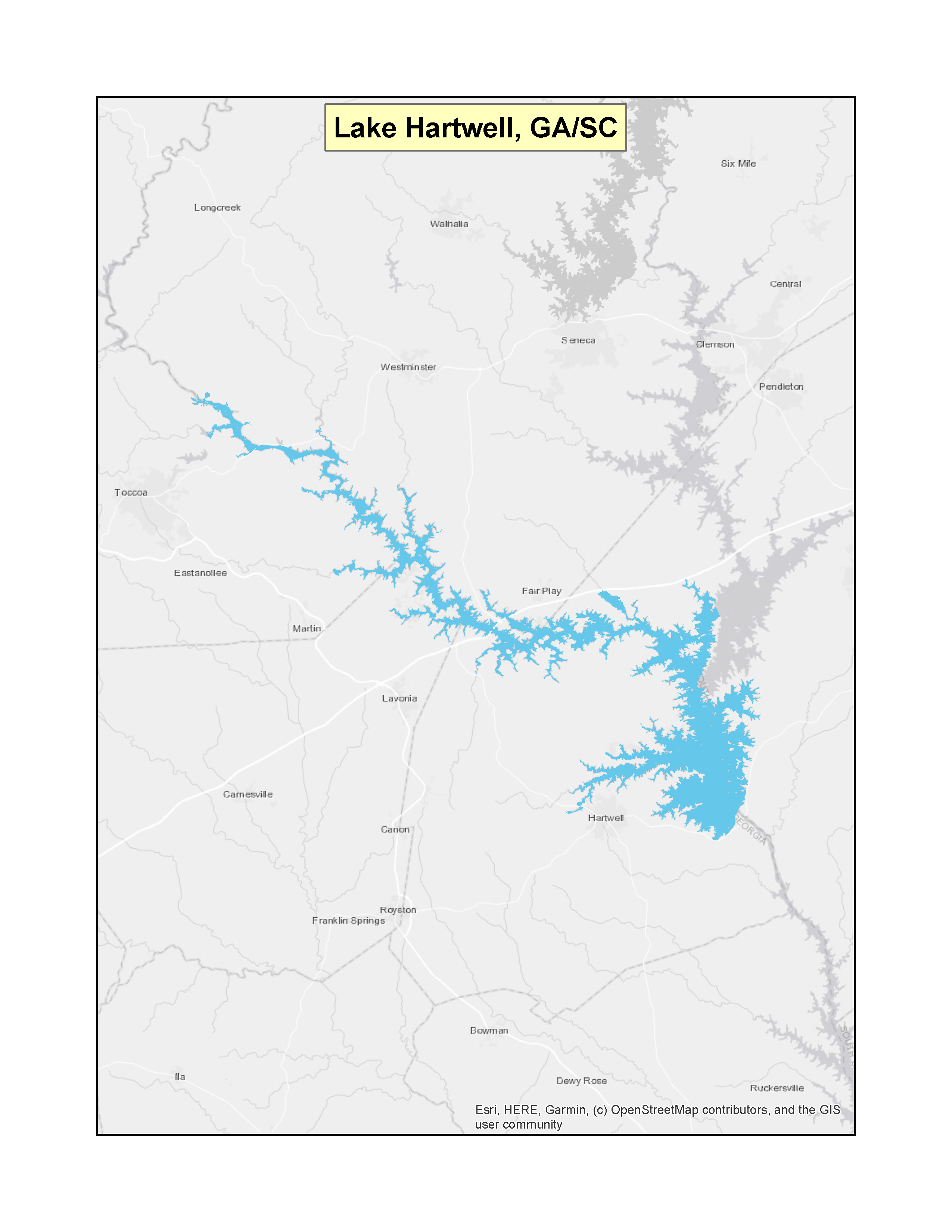 |
|
| Utah / Arizona | Lake Powell – portions in UT and AZ | (f)(3) | 65 FR 56577 (PDF)Exit EPA’s website(2 pp, 246 K) | 09-19-2000 | 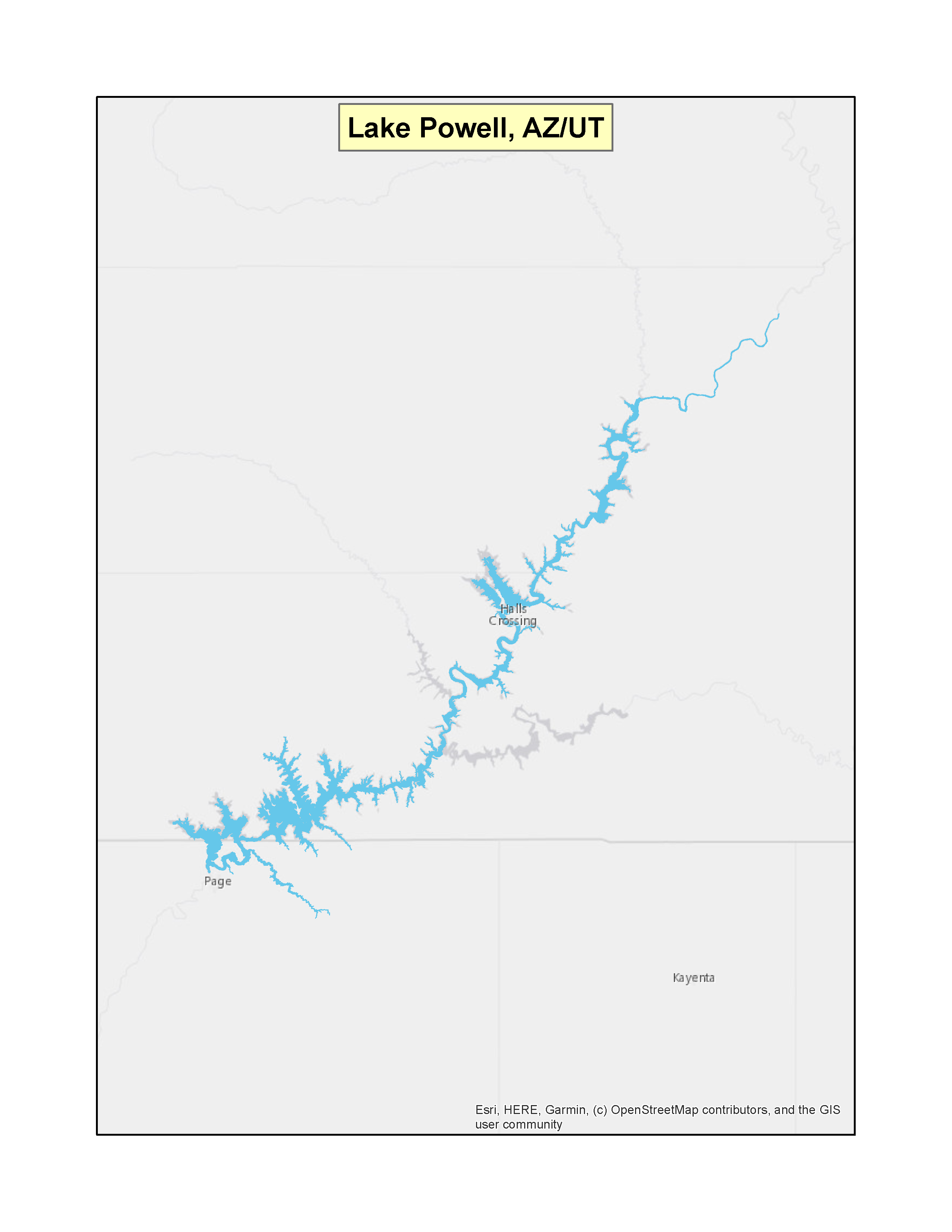 |
|
Vessels, Marinas and Ports
Open Sidenav Menu Close Sidenav Menu Contact Us About Vessels, Marinas and Ports Contact Us About Vessels, Marinas and Ports to ask a question, provide feedback, or report a problem. Last updated on May 7, 2026 Welcome! Please share your feedback on how we can make www.epa.gov work better for you. A red asterisk (*) indicates a required field.
Success
Thank you. Your feedback has been received.
Error
alert message Required Questions - page 1 of 2 question_55203_answer_01 How would you rate your experience on www.epa.gov today? *
0 Stars 1 Star 2 Stars 3 Stars 4 Stars 5 Stars Please explain the reason for your rating. * 400 characters allowed Would you like to take two more minutes to answer more questions to help us improve our services? Yes, keep going → No, only submit these responses Optional questions - page 2 of 2 How would you describe yourself? Business Government employee Scientist Student Other Enter other text Please tell us why you visited www.epa.gov today. 400 characters allowed Did you visit www.epa.gov to accomplish a specific task? If yes, please explain why you were able or unable to accomplish your task. 400 characters allowed How can we make www.epa.gov a more helpful website? 400 characters allowed Submit []: required